

The rest of your Fourth of July fireworks and festivities forecast for Kauaʻi looks to be pleasant, with sunny conditions for the remainder of the day expected for much of the island, but there is a chance for rain that moves in tonight for several locations.
Fire weather conditions also could develop in the drier and windier spots as relative humidity levels are expected to fall, even as early as Saturday afternoon.
Kaua’i firefighters already responded to two blazes during the holiday — one early Saturday morning and another Saturday afternoon — in the Hanamāʻulu and Kapule Highway area.
National Weather Service forecasters in Honolulu report that high pressure just north of the state will remain the dominant weather feature, maintaining stable moderate to breezy trade winds during the next several days.
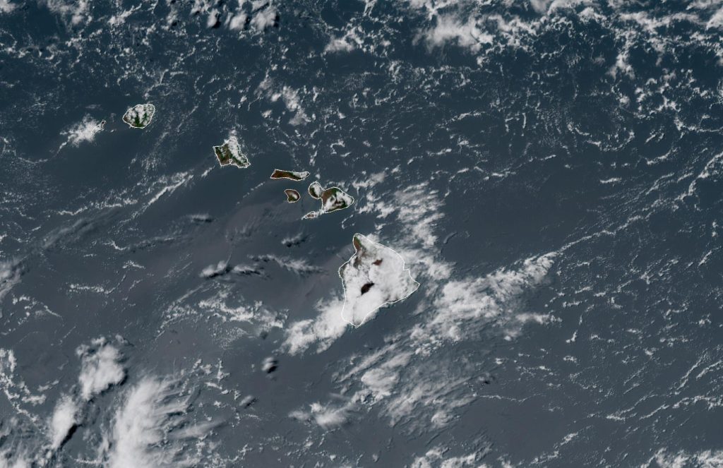
Bands of moisture continue to ride within those trades, increasing shower activity to windward and mauka areas — namely across Kaua’i and the Big Island.
Sunny skies should continue Saturday afternoon in the Līhuʻe, Kapaʻa and Kekaha areas, with isolated showers reported in the Hanalei region under mostly cloudy skies.
Līhuʻe and Kapaʻa are enjoying partly sunny skies but breezy conditions, with east-northeast winds ranging from 15 to 18 mph and gusts up to 25 mph in locations. Mostly cloudy skies are expected to develop in both areas, with persistent breezy conditions.
Winds will be from the northeast at 11 to 16 mph, gusting up to 22 mph, in Lihue and 15 to 17 mph, with gusts up to 24 mph, in Kapaʻa.
There also will be a 20% chance for isolated showers throughout the night in both locations.
Kekaha is seeing mostly sunny conditions on the Fourth of July, with mostly clear skies expected overnight and east winds ranging from 7 to 14 mph for the rest of the day and about 10 mph tonight.
The chance of rain for the rest of the holiday in Hanalei will be about 20% with mostly cloudy conditions expected to persist overnight. Isolated showers also will continue to be possible throughout the night in the North Shore community.
It’s also breezy in Hanalei this afternoon, with an east wind at 11 to 15 mph and gusts up to 21 mph. Winds are forecast to fall to 8 to 11 mph overnight.
High temperatures will range from the upper 70s to upper 80s, depending on where you are on the island, with 87 degrees in Kekaha on the higher side and 79 degrees in Līhuʻe on the lower end. Overnight lows should remain in the lower to mid-70s.
So overall, it doesn’t look like too many fireworks plans or festivities should get rained out. It might just come down to a matter of timing in some locations.
With the breezy conditions in several spots, however, it will be important to practice your best fire safety skills if fireworks are part of your Fourth of July backyard celebrations.
National Weather Service forecasters say moderate to locally near critical fire weather conditions will persist through early next week with a slightly drier air mass in place causing relative humidity to fall to about 45% each afternoon, beginning Saturday afternoon.
The high pressure north of the state will build and meander a bit to the southeast by the turn of the week, continuing to produce locally breezy trade winds, with the strongest expected to develop Sunday or Monday.
By the end of next week, however, excess residual moisture associated with post-tropical cyclone Douglas might extend to the island chain by way of breezy trade wind flow.
This could bring increased shower activity initially over windward and mauka locations, possibly spreading farther into leeward portions of the state by the end of the forecast period.
