

National Oceanic and Atmospheric Administration led no shortage of scientific breakthroughs in 2025: from launching satellites with new instruments to advance space weather observations to deploying uncrewed systems for critical data that could improve hurricane forecasts.
The 2025 NOAA Science Report outlines several advancements that contribute to the agency’s robust research and development enterprise and also help reduce impacts of hazardous weather and promote sustainable use and stewardship of ocean and coastal resources.
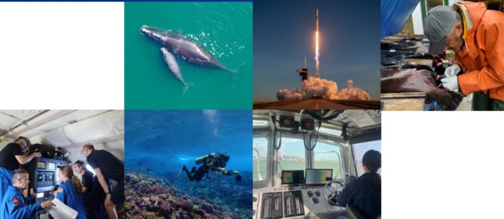
Five highlights from the 2025 NOAA Science Report
National Oceanic and Atmospheric Administration satellites reach new heights to warn about space weather
The Space Weather Follow On-Lagrange 1 observatory — America’s first satellite designed specifically for continuous, operational space weather observations — launched in September 2025 from Kennedy Space Center in Florida.
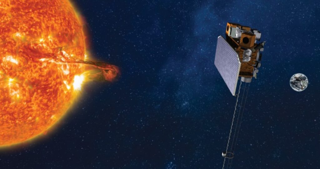
Now named Space weather Observations at L1 to Advance Readiness – 1 (SOLAR-1), it carries a suite of instruments including the Compact Coronagraph-2, serving as an early warning system for coronal mass ejections and other space weather heading toward Earth from the sun.
These space weather events when directed toward Earth can impact astronaut safety, aviation, electric power grids, satellites as well as navigation and communication systems.
Data from SOLAR-1 will enhance National Oceanic and Atmospheric Administration Space Weather Prediction Center alerts, warnings and forecasts provided to those sectors in addition to agriculture, defense and human spaceflight industries.
The familiar aurora — the Northern Lights — are visible manifestations of these storms interacting with Earth’s upper atmosphere.
Scientists moved quickly to study fire effects on California’s coastal ecosystem
National Oceanic and Atmospheric Administration researchers working in the waters off the California coast took action during the 2025 Los Angeles fires to collect debris and water samples of ash to study the effects of fires on ocean ecosystems.

Researchers as part of a rapid response altered an ongoing fisheries survey on National Oceanic and Atmospheric Administration Ship Reuben Lasker to additionally collect essential data and samples showing the fires spreading and contaminants.
These observations provide valuable information about the effects of fires on one of the country’s most productive marine ecosystems vital to commercial and recreational fisheries.
New technology mined data from inside raging hurricanes
National Oceanic and Atmospheric Administration and partners tested new instruments last year to gather data in hard-to-reach areas of tropical cyclones.
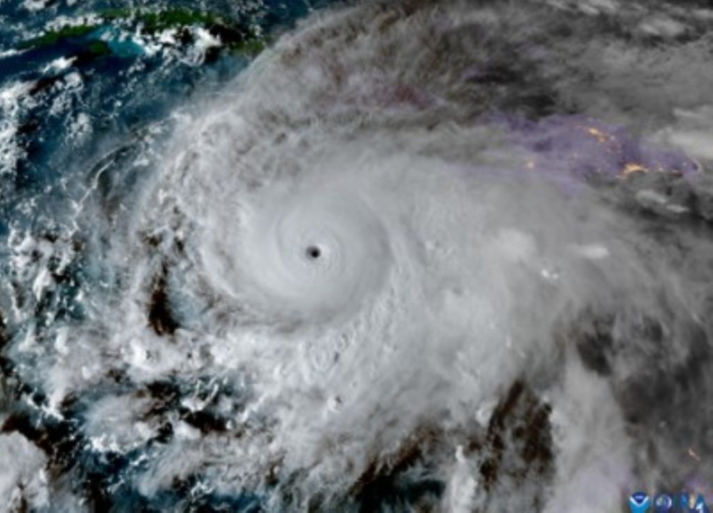
Emerging technology — such as the Black Swift S0 drone, a small uncrewed aircraft system deployed from National Oceanic and Atmospheric Administration WP-3D Hurricane Hunter aircraft — broke records for data collection in hurricanes.
The drone collects atmospheric data from the lowest levels of the storm.
National Oceanic and Atmospheric Administration tested the Skyfora StreamSonde, an ultra-lightweight instrument released from aircraft that descends slower than conventional dropsondes and gathers more detailed atmospheric data.
One dropsonde recorded a wind gust of 252 mph during Hurricane Melissa — the strongest wind ever measured by a dropsonde.
The agency also tested the Dragoon Coriolis, a long-endurance, low-cost uncrewed aircraft that can be remotely launched from land into hurricanes.
Not to be outdone by uncrewed aircraft, the small wind-powered uncrewed surface vehicle C-Star transmitted data from the ocean surface within Category 5 Hurricane Humberto.
National Oceanic and Atmospheric Administration scientists used satellite technology and artificial intelligence to benefit marine mammals
National Oceanic and Atmospheric Administration’s Geospatial Artificial Intelligence for Animals initiative deployed advanced satellite technology and artificial intelligence to detect marine life from space and support conservation.
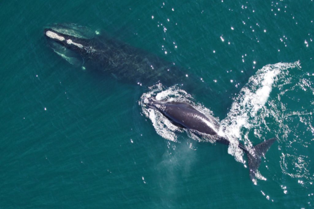
The groundbreaking advancement could help monitor the critically endangered North Atlantic right whale, which has an estimated population of fewer than 380.
By detecting and validating potential whale locations, scientists can help protect endangered mammals without relying on broad closures or restrictions that hamper the livelihoods of maritime workers.
The initiative is one of the agency’s many public-private partnerships, this one involving the Naval Research Laboratory, U.S. Geological Survey and Microsoft AI for Good.
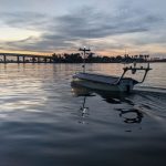
Robots helped scientists gather data for early warnings of water conditions toxic to humans and fish
National Oceanic and Atmospheric Administration and partners in 2025 deployed a new autonomous surface vehicle called Seasats Lightfish.
 The Seasats Lightfish. (Credit: Seasats)
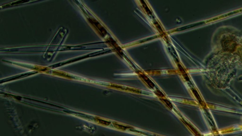
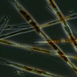
- A close-up of Pseudo-nitzchia, a common type of phytoplankton associated with harmful algal blooms, that can produce the neurotoxin domoic acid. Domoic acid can contaminate shellfish, such as razor clams, a popular and important food source. (Image Screenshot from 2025 NOAA Science Report/Credit: National Oceanic and Atmospheric Administration)
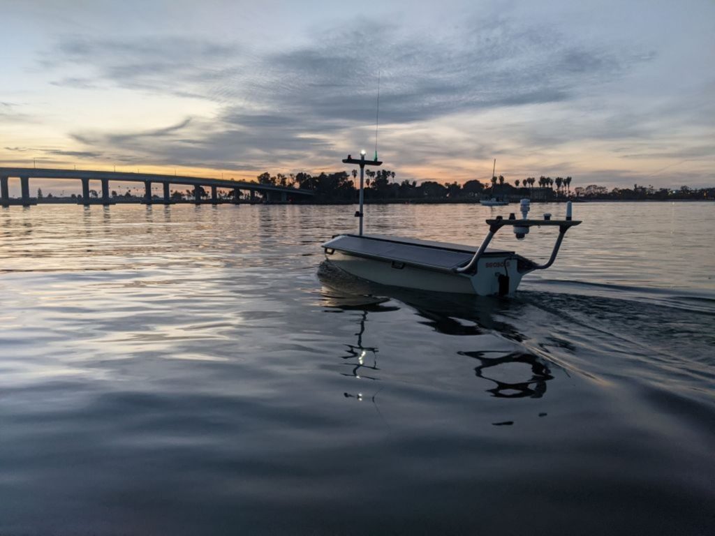
The vehicle was launched off the Washington state coast to detect harmful algal blooms offshore before harmful effects could reach inshore areas and affect fish and human health.
Offshore harmful algal bloom samples can be gathered manually from ships, but autonomous vehicles reduce the costs and personnel required while increasing sampling frequency.
Seasats Lightfish, for example, can travel up to 100 nautical miles on a full charge under solar power.
