

Forecasters at the National Weather Service Honolulu office say strong trade winds and heavy rain — capable of producing flash flooding — are increasingly likely Saturday through Monday (Feb. 7-9).
“Most locations will receive rain, possibly heavy at times, but showers will move quickly, reducing the flash flooding threat,” according to an email Wednesday afternoon from the weather office setting up the incoming wet and windy weather. “However, it appears that training heavy showers and isolated thunderstorms may impact windward Haleakalā on Maui and the Hāmākua Coast on the Big Island.”
Threat for flash flooding would significantly increase in this scenario.
Heavy rain is possible as early as Saturday, but most likely Sunday into Monday. Flash flooding appears to be most likely for Maui County and the Big Island, particularly windward locations.
Strong trade winds will also develop along and behind the band of heaviest rainfall.
“Trades will strengthen Saturday through Sunday, potentially peaking around the high wind warning threshold [sustained 40-plus mph and/or gusts to 58-plus mph] by late Sunday through Monday,” according to the Honolulu forecast office.
Winds that strong will most likely impact Kaua‘i through Maui County, particularly over terrain, through valleys and other local acceleration areas.
Additional details are forthcoming, with an update expected Thursday morning (Feb. 5).
Visit the Honolulu forecast office website for the most up-to-date weather forecasts, including any advisories, watches and warnings in effect.
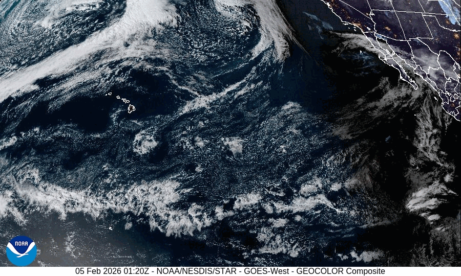
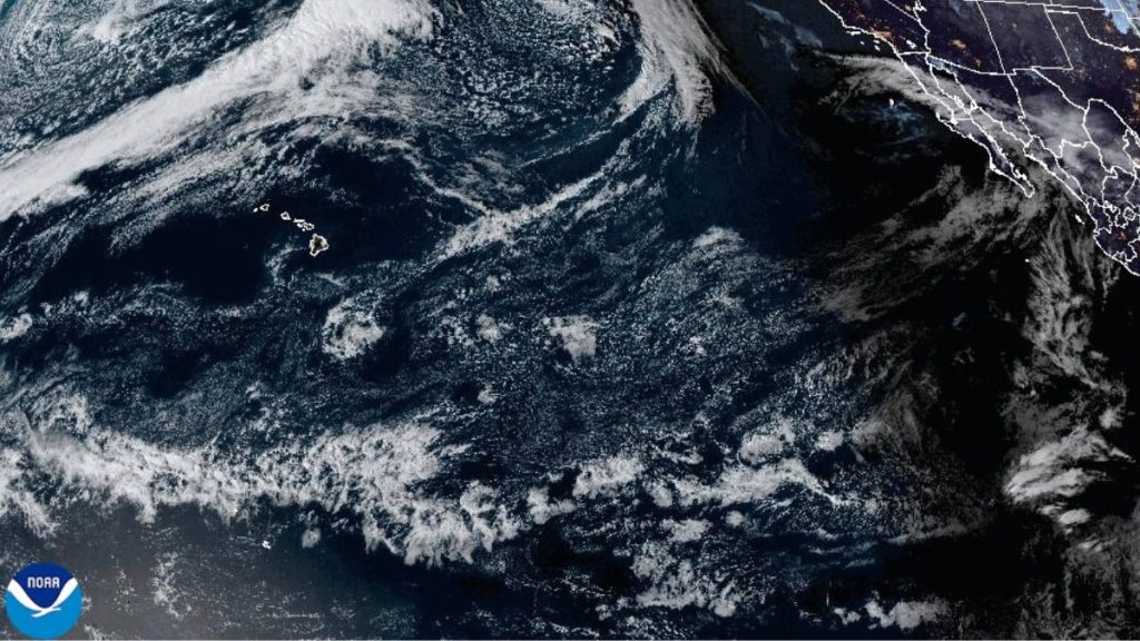
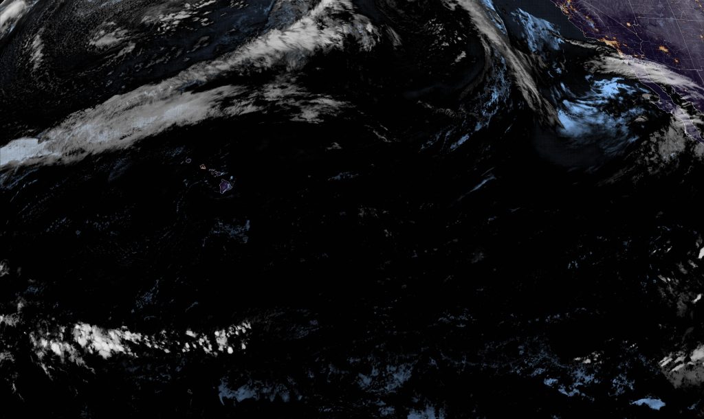
 Image from Wednesday night, Feb. 4, 2026, captured by National Oceanic and Atmospheric Administration GOES-West satellite.
- Image from Wednesday night, Feb. 4, 2026, captured by National Oceanic and Atmospheric Administration GOES-West satellite.


The north and west shorelines of Kaua’i, Ni’ihau and western shores of the Big Island remained under a high surf warning Wednesday night (Feb. 4).
A high surf advisory was also in effect Wednesday night for north-facing shores of the Big Island.
