

Have you ever wondered what Hawaiʻi looked like during the monarchy? Or what it looked like shortly after the Great Māhele — the Hawaiian land distribution system — took effect?
Those are questions Hawaiʻi Department of Accounting and General Services Land Survey Division can answer from a cartography perspective. The agency plans to make the maps with the information publicly available whenever they want to or need to find them.
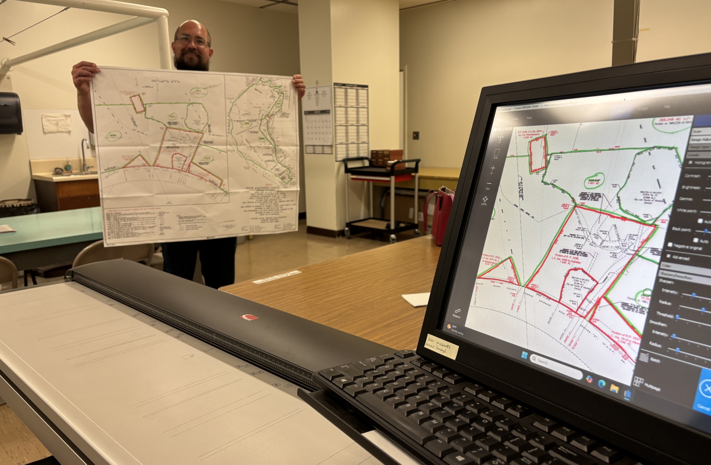
The agency continues work to transfer all those maps to a free, online, searchable service so people can find them at their convenience.
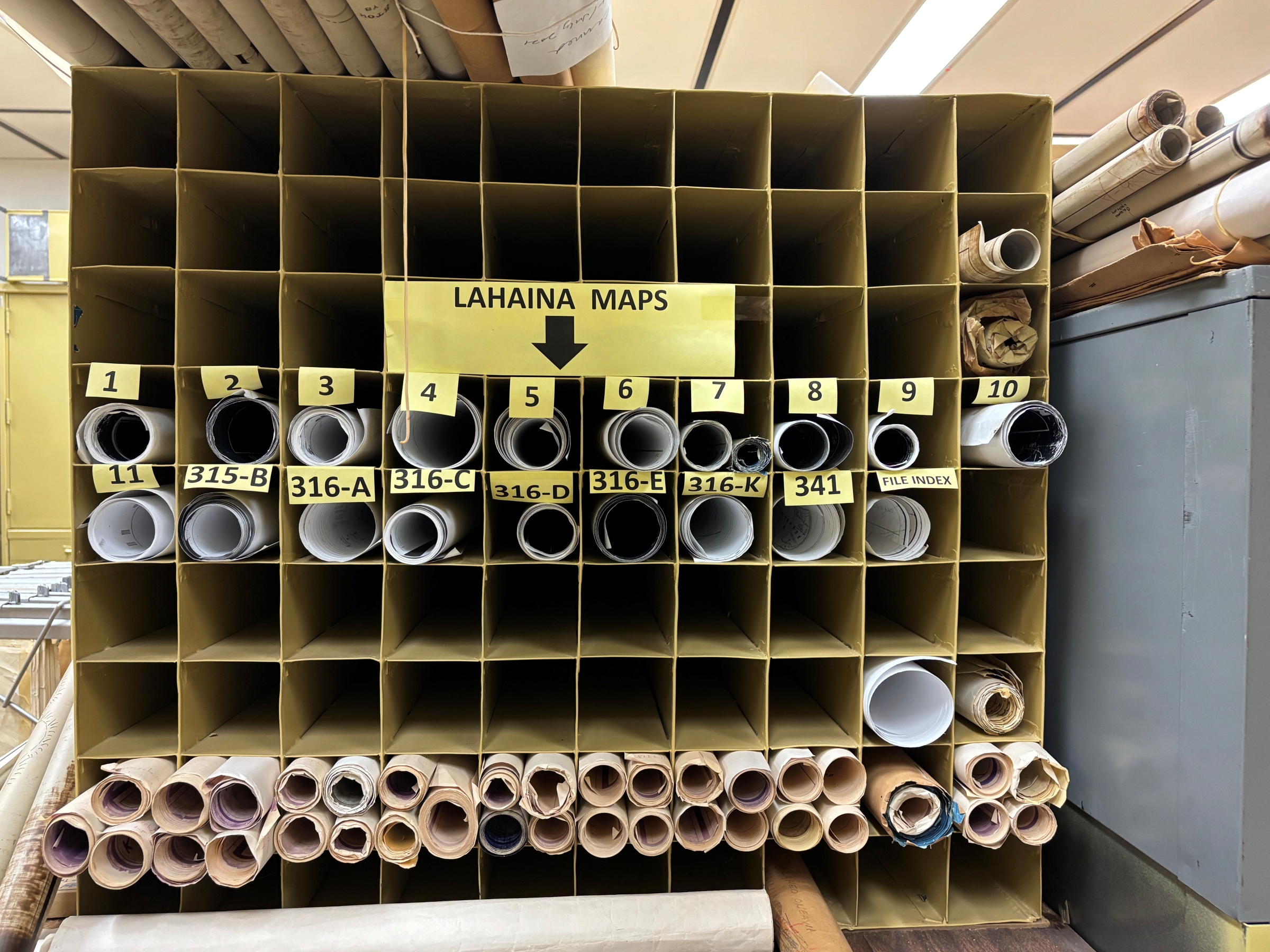
The decadeslong project started just after the turn of this century, with Land Survey digitizing all the maps it has, some which go back to 1871 — the year the division opened.
That’s about 90,000 maps reflecting all main Hawaiian islands. Unfortunately, there are many other maps it cannot digitize because of their size or frail condition of the parchment on which they are printed.
“Right now, people usually hire a professional, like a title expert, to help them,” said Hawaiʻi Department of Accounting and General Services Director and state Comptroller Keith Regan in a release announcing the ongoing map digitization. “When we launch this map service, people will be able to type their address or tax map key in and have the state survey information on the parcel come up.”
The new online portal — once it’s complete — will save people time and money by allowing them to find that type of information and more online, at any time of day.
“Often, people need this information when they’re getting building permits,” added Land Survey Division Administrator Reid Siarot in the release. “Also, when one is building a new structure or even a wall, there are associated regulatory issues, so the landowner needs to know where their setback lines are and if there are easements on the property.”
There also have been customers who — aside from searching maps for those above practical needs — just want to know more about Hawaiian land history.
“Many people want to know more about their family’s ancestral lands,” Siarot said.
He said some peoples’ kūpuna received an award in the Great Māhele process. Now, descendants simply want to see what the conditions of the land were at the time, who their neighbors might have been or what structures were there at the time, among being curious about other information.
“People also like to see how the lands changed over time,” Siarot added. “Hawaiʻi is a unique place. And history and culture are all tied to place.”
Siarot estimates it will take a few years before his division can launch the service, which he likens to any of the ubiquitous, name-brand map services with which people already are familiar.
However, the public already can view many maps online for free.
