

Photo Credit: Jason Weingardt
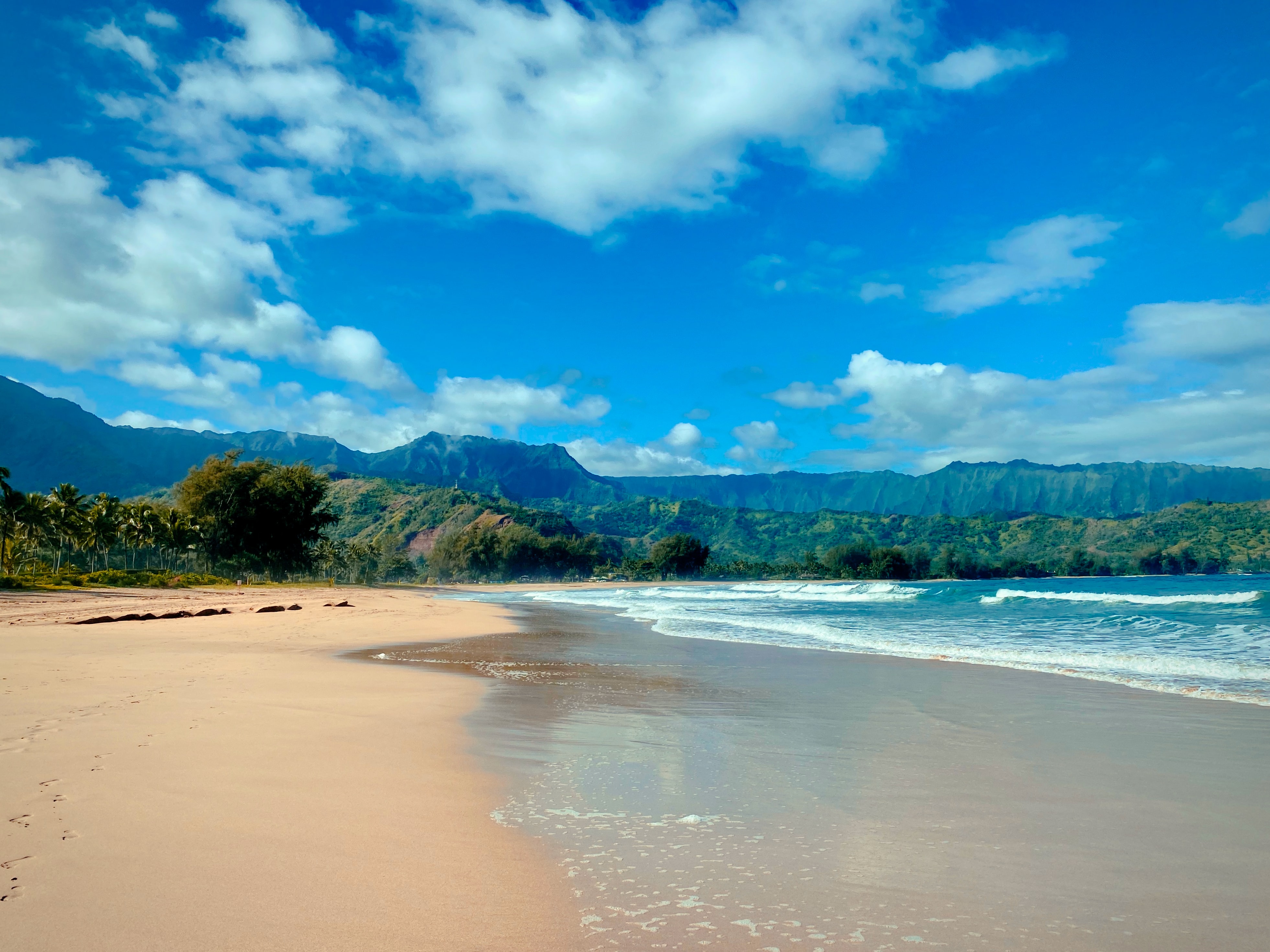
West Kaua’i
Today: Mostly sunny. Isolated showers in the afternoon. Highs 76 to 83 near the shore to around 69 above 3000 feet. Light winds becoming southwest up to 10 mph in the afternoon. Chance of rain 20 percent.
Tonight: Mostly cloudy. Isolated showers in the evening, then scattered showers after midnight. Lows around 65 near the shore to around 55 above 3000 feet. North winds up to 15 mph. Chance of rain 50 percent.
Wednesday: Breezy. Cloudy with scattered showers in the morning, then mostly sunny with isolated showers in the afternoon. Highs 74 to 82 near the shore to around 66 above 3000 feet. North winds up to 25 mph. Chance of rain 50 percent.
South Kaua’i
Today: Mostly sunny with isolated showers. Highs 75 to 83. Northeast winds around 10 mph in the morning becoming light. Chance of rain 20 percent.
Tonight: Mostly cloudy. Isolated showers in the evening, then scattered showers after midnight. Lows around 65. Light winds becoming northwest up to 10 mph after midnight. Chance of rain 40 percent.
Wednesday: Breezy. Cloudy with scattered showers and slight chance of thunderstorms in the morning, then partly sunny with isolated showers in the afternoon. Locally heavy rainfall possible in the morning. Highs 74 to 82. Northeast winds up to 20 mph. Chance of rain 30 percent.
Kaua’i Mountains
Today: Mostly sunny. Isolated showers in the morning, then scattered showers in the afternoon. Highs 70 to 76 in the valleys to around 61 above 4000 feet. Light winds. Chance of rain 30 percent.
Tonight: Mostly cloudy. Isolated showers in the evening, then occasional showers after midnight. Lows 56 to 65 in the valleys to around 53 above 4000 feet. Light winds becoming northwest up to 10 mph after midnight. Chance of rain 90 percent.
Wednesday: Breezy. Cloudy with showers likely and slight chance of thunderstorms in the morning, then partly sunny with scattered showers in the afternoon. Highs 66 to 73 in the valleys to around 59 above 4000 feet. North winds up to 20 mph. Chance of rain 70 percent.
North Kaua’i
Today: Mostly sunny with isolated showers. Highs 72 to 79. Light winds. Chance of rain 20 percent.
Tonight: Mostly cloudy. Isolated showers in the evening, then occasional showers after midnight. Lows 59 to 66. Light winds becoming southwest up to 10 mph after midnight. Chance of rain 90 percent.
Wednesday: Breezy. Cloudy with showers likely in the morning, then partly sunny with scattered showers in the afternoon. Highs 68 to 77. Northwest winds 10 to 20 mph. Chance of rain 70 percent.
East Kaua’i
Today: Mostly sunny with isolated showers. Highs 69 to 80. Light winds. Chance of rain 20 percent.
Tonight: Mostly cloudy. Isolated showers in the evening, then scattered showers after midnight. Lows 59 to 68. Light winds becoming west up to 10 mph after midnight. Chance of rain 50 percent.
Wednesday: Breezy. Cloudy with scattered showers and slight chance of thunderstorms in the morning, then partly sunny with isolated showers in the afternoon. Locally heavy rainfall possible in the morning. Highs 67 to 80. North winds up to 25 mph increasing to 10 to 25 mph in the afternoon. Chance of rain 50 percent.
Detailed Forecast
Synopsis
Breezy trades will become light and variable today allowing seabreezes to develop during the day and land breezes overnight, however chances of precipitation will remain low. A cold front will bring a brief round of showers and perhaps an isolated thunderstorm Wednesday into Thursday. This will be followed by a reinforcing shot of cool weather.
Discussion
This morning soundings continue to show relatively low inversion heights around 4 to 5 kft with precipitable water vapor slightly below normal around .90 inches. This setup will maintain rather dry, stable conditions today. An approaching front roughly 400 miles northwest of Kauai continues to move east today, weakening the pressure gradient and allowing for afternoon seabreezes during the afternoon to develop a few interior clouds and isolated showers given the relatively dry atmosphere.
A low will quickly develop along the cold front near 30N as upper level shortwave energy digs south today. The low will lift north as shortwave energy aloft pivots through the forecast area driving the cold front eastward through Kauai and Oahu early Wednesday through Wednesday afternoon and into the eastern end of the state on Wednesday night. Strong forcing aloft couple with slightly deeper moisture along the front may allow for a better coverage of showers. Mid- level lapse rates are adequate for an isolated thunderstorm or two along the front, but hardly impressive. Combined with low density CAPE profiles, it appears the chance for thunder will be fleeting over the islands themselves, the greater probabilities residing over the waters north and east of the area.
Frontal passage on Wednesday will be accompanied by a transient period of light to moderate showers and just a slight chance of thunder. Followed by a transition to moderate to breezy NW winds based on the latest Hi-resolution model guidance. Dewpoints will fall further into the 50s. Wednesday night through Friday night will feature rather cool weather characterized by large diurnal swings in temperature with typical daytime highs followed by overnight lows falling into the 50s in some locales, particularly sheltered and interior zones. Chances of precipitation will be minimal following the front as a mid level drying filters in.
Primary uncertainty this forecast package is extent of eastward progress of the front and whether the incoming cool/low dewpoint airmass will penetrate as far east as the Big Island. At this time, model consensus suggests forward progress of the front stalls over or immediately east of the Big Island suggesting they are still in the game for a brief period of cooler weather. Dewpoints then rebound into the 60s as trades return for the weekend. If the front makes it through the Big Island the lingering moisture combined with another upper level shortwave trough digging south may give Big Island a better chance for thunderstorms Thursday afternoon. Another upper level disturbance and occupying front may impact the state again Sunday into Monday of next week.
Aviation
The trades will continue to ease today, allowing for sea breezes to develop across the state by this afternoon. Land breezes will prevail tonight, with west to northwest winds increasing over the western islands Wednesday morning as a cold front moves in. A few very light showers may affect windward slopes early this morning, otherwise mostly dry weather and VFR conditions will prevail through 12z Wednesday. Showers associated with the cold front will bring some reduced cigs/vsbys to the western islands late tonight and Wednesday morning.
AIRMET Tango remains in effect for moderate upper level turbulence over the western half of the state. This AIRMET will likely be expanded to include the entire island chain later this morning.
AIRMET Sierra will likely be needed for mountain obscuration across Kauai late tonight and Wednesday morning.
Marine
Trade winds will diminish through the day with light and variable winds over most of the waters by this afternoon as a surface ridge to the north is weakened and pushed southward. A frontal passage is expected to move down the island chain Wednesday and Thursday, bringing a period of rainfall and possible thunderstorms. A brief period of fresh prefrontal south to southwest winds is excepted on Wednesday, mainly over the eastern half of the island chain. Following the frontal passage, moderate to strong northwest to north winds will result in localized accelerations through channels and leeward areas prompting the need for a Small Craft Advisory (SCA) for select zones Wednesday and Thursday. Winds will diminish late Thursday and Friday as the front stalls then dissipates near the Big Island. A brief return of trade winds is due on Saturday.
The current northwest swell will continue to decline through the day and forerunners of another northwest swell will arrive late tonight. This swell will slowly build through Wednesday and peak Wednesday night and Thursday, leading to High Surf Advisory (HSA) conditions across most north and west facing shores from Kauai to Maui and SCA level seas over exposed waters. As this swell declines late Thursday and Friday, a storm low centered 600 to 700 nm north of Hawaii will send a medium period north swell that could produce HSA surf for north shores. The north swell will lower through the weekend and may be followed by a moderate to large northwest swell on next Monday.
East shore surf surf will decline slightly as trades diminish, though a small pulse of short period northeast swell is expected through Wednesday. Aside from areas exposed to wrapping north swell Thursday into the weekend, east shore surf will be small. Surf along south facing shores will remain tiny as it returns to typical wintertime conditions for south shores. A tiny pulse of south- southwest swell is possible for the weekend.
Fire weather
Winds are forecast to remain below the threshold value while a reinforcing shot of dry air causes afternoon RH values to fall to near or slightly below 40 percent Thursday and Friday. Critical fire weather concerns are not anticipated during the forecast period.
HFO Watches/Warnings/Advisories
None.
Kauai Now Weather is brought to you by Blue Hawaiian Helicopters.
Data Courtesy of NOAA.gov
