

Kauai Weather Forecast for January 13, 2025
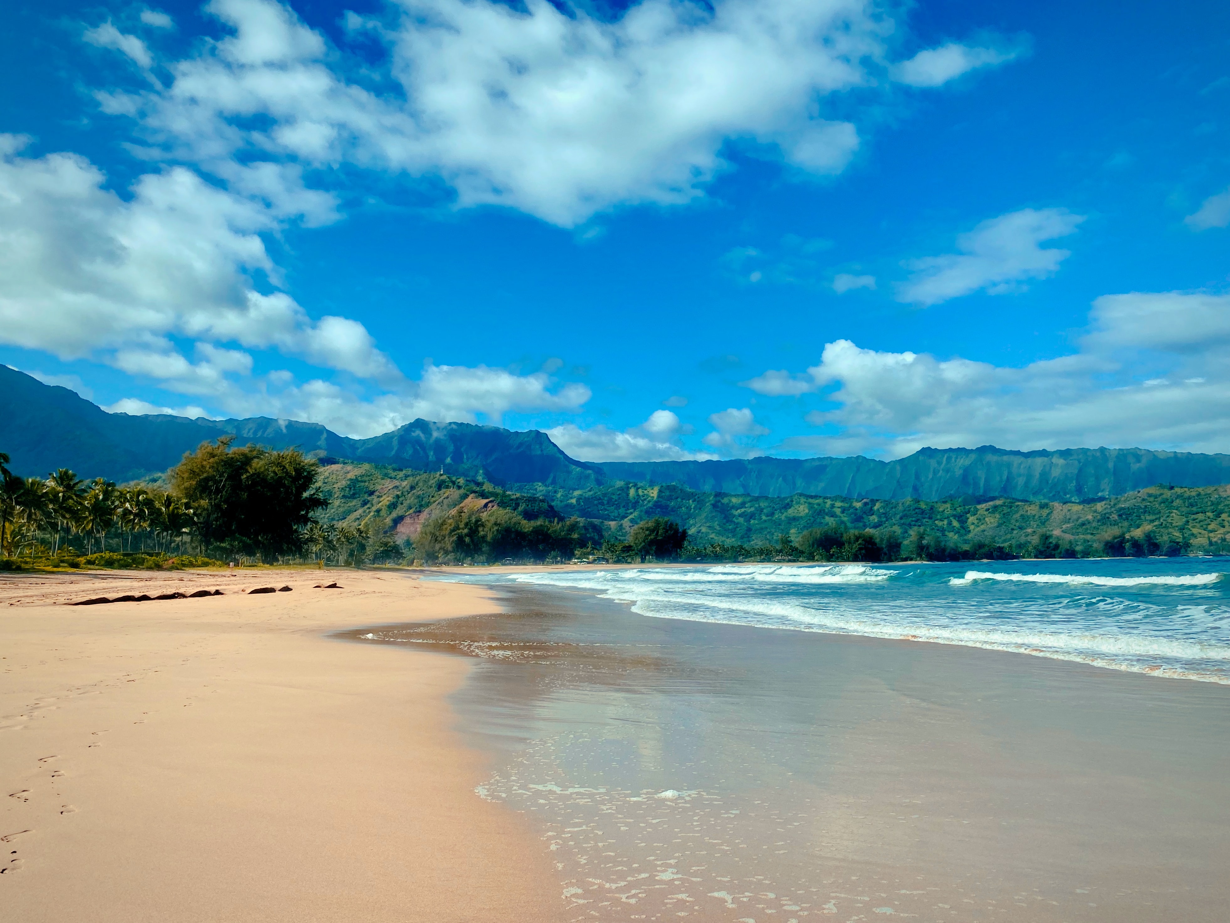
Photo Credit: Jason Weingardt
West Kaua’i
Today: Mostly sunny. Breezy. Scattered showers early in the morning, then isolated showers in the late morning and afternoon. Highs 79 to 86 near the shore to around 72 above 3000 feet. Northeast winds up to 20 mph. Chance of rain 50 percent.
Tonight: Partly cloudy. Isolated showers in the evening, then scattered showers after midnight. Lows 64 to 69 near the shore to around 58 above 3000 feet. Northeast winds up to 15 mph becoming around 10 mph after midnight. Chance of rain 50 percent.
Tuesday: Mostly sunny with isolated showers. Highs 78 to 86 near the shore to around 72 above 3000 feet. Northeast winds up to 10 mph shifting to the south in the afternoon. Chance of rain 20 percent.
South Kaua’i
Today: Partly sunny. Breezy. Scattered showers early in the morning, then numerous showers late in the morning. Scattered showers in the afternoon. Highs 77 to 85. Northeast winds 10 to 20 mph. Chance of rain 70 percent.
Tonight: Mostly cloudy with scattered showers. Lows around 68. Northeast winds 10 to 15 mph. Chance of rain 50 percent.
Tuesday: Partly sunny. Numerous showers in the morning, then scattered showers in the afternoon. Highs 77 to 85. Northeast winds 10 to 15 mph. Chance of rain 70 percent.
Kaua’i Mountains
Today: Mostly cloudy. Numerous showers early in the morning, then frequent showers late in the morning. Scattered showers in the afternoon. Highs 71 to 79 in the valleys to around 63 above 4000 feet. East winds up to 15 mph. Chance of rain 80 percent.
Tonight: Mostly cloudy. Numerous showers in the evening, then frequent showers after midnight. Lows 58 to 67 in the valleys to around 56 above 4000 feet. East winds up to 15 mph. Chance of rain 80 percent.
Tuesday: Mostly cloudy. Frequent showers in the morning, then scattered showers in the afternoon. Highs 71 to 78 in the valleys to around 63 above 4000 feet. Northeast winds up to 15 mph. Chance of rain 80 percent.
North Kaua’i
Today: Partly sunny with scattered showers. Highs 74 to 82. East winds up to 15 mph. Chance of rain 50 percent.
Tonight: Mostly cloudy. Scattered showers in the evening, then numerous showers after midnight. Lows 61 to 68. Southeast winds up to 10 mph. Chance of rain 70 percent.
Tuesday: Partly sunny with scattered showers. Highs 73 to 82. East winds up to 15 mph increasing to 10 to 15 mph in the afternoon. Chance of rain 50 percent.
East Kaua’i
Today: Mostly cloudy. Numerous showers in the morning, then scattered showers in the afternoon. Highs 70 to 82. Northeast winds 10 to 15 mph. Chance of rain 70 percent.
Tonight: Mostly cloudy. Scattered showers in the evening, then numerous showers after midnight. Lows 61 to 72. North winds up to 10 mph. Chance of rain 70 percent.
Tuesday: Mostly cloudy. Numerous showers in the morning, then scattered showers in the afternoon. Highs 70 to 82. Northeast winds 10 to 15 mph. Chance of rain 70 percent.
Detailed Forecast
Synopsis
The potential for heavy showers and isolated thunderstorms will exist this morning near or over the Big Island, driven by increasing moisture and an upper disturbance lifting north over the eastern end of the state. Across the rest of the state, a typical trade wind pattern will persist through the first half of the week, with showers favoring windward and mauka areas. However, trades will weaken in the latter half of the week as an upper disturbance and a cold front approach, possibly leading to more widespread rain and thunderstorms.
Discussion
Water vapor imagery shows a broad upper low lifting north toward the Big Island this morning, bringing increasing mid- to upper- level moisture. The combination of lowering upper heights and increasing instability, with steepening mid-level lapse rates and deeper moisture, will keep the threat of heavy showers and isolated thunderstorms in the forecast today. The highest chances for this activity will be this morning over the windward/southeast sections of the Big Island and nearby waters. On the summits, although chances are low, there could be a brief period of wintry mix with this activity early this morning. For the rest of the state, expect typical trade wind conditions, with clouds and showers favoring windward and mauka sections.
Short-term guidance remains in reasonable agreement through the first half of the week, showing rising upper heights over the region as the broad upper low near the Big Island lifts northeast and dissipates. Trades will gradually weaken into the light to moderate range later today through midweek as the surface ridge weakens and shifts southward, following a front passing to the north. This setup will result in a mainly stable and dry trade wind pattern, with the best chances for showers in windward and mauka areas during the night and early morning hours.
Confidence decreases later this week through the weekend due to diverging model solutions, but there is general agreement on trade winds being disrupted beginning around Thursday as a cold front approaches and moves into the area. The increasing moisture and instability associated with lowering upper heights and the front will raise the potential for showers and thunderstorms.
Aviation
Winds should trend downward through mid-week with the passage of a front to the north and another front approaching the islands. Low cigs and SHRA should favor windward and mauka locations. MVFR conds expected in SHRA otherwise VFR should prevail.
AIRMET Sierra continues for mtn obsc along windward sections of the all islands.
AIRMET Tango continues for mod to isol severe upper level turb from Maui to the Big Island, and will likely be needed through the morning hours.
Marine
Surface high pressure far northeast of the waters will drive moderate to fresh trade winds today before easing slightly tonight as the ridge to the north weakens and a front passes by to the north. An upper level disturbance south of the Big Island may bring the potential for thunderstorms over the southern coastal and offshore waters through the morning hours. A light wind regime is expected by Thursday through the end of the week as a potential cold front moves down the island chain.
Surf along north and west facing shores will remain small to moderate through the morning hours before a moderate long-period northwest swell is expected to fill in through the day. Guidance from the ECMWF and observations at NDBC offshore buoy 51101 is showing a slower arrival than previously forecasted. The High Surf Advisory (HSA) has been delayed for a start time at noon today for north and west facing shores of Niihau, Kauai, Oahu, and Molokai and north facing shores of Maui. The swell is expected to peak late tonight into Tuesday before slowly declining through the week.
An even larger, long-period northwest swell that could potentially bring High Surf Warning level conditions for most north and west facing shores is expected Friday into Saturday from a closer, stronger storm that tracks generally towards the islands over the next few days.
Surf along east facing shores will hold relatively steady today then continue to decline through the end of the week. A small north swell could potentially elevate exposed shorelines Wednesday and Thursday. South shore surf will remain very small through the middle of the week. An out of season long-period south swell may move through the islands at the end of the week, bringing a sizable boost to south shore surf.
Fire weather
No critical fire conditions anticipated during the forecast period.
HFO Watches/Warnings/Advisories
High Surf Advisory from noon today to 6 PM HST Tuesday for Niihau, Kauai Leeward, Waianae Coast, Oahu North Shore, Maui Windward West, Kauai North, Molokai Windward, Molokai North, Molokai West, Maui Central Valley North, Windward Haleakala.
Kauai Now Weather is brought to you by Blue Hawaiian Helicopters.
Data Courtesy of NOAA.gov
Sponsored Content
