

Photo Credit: Jason Weingardt
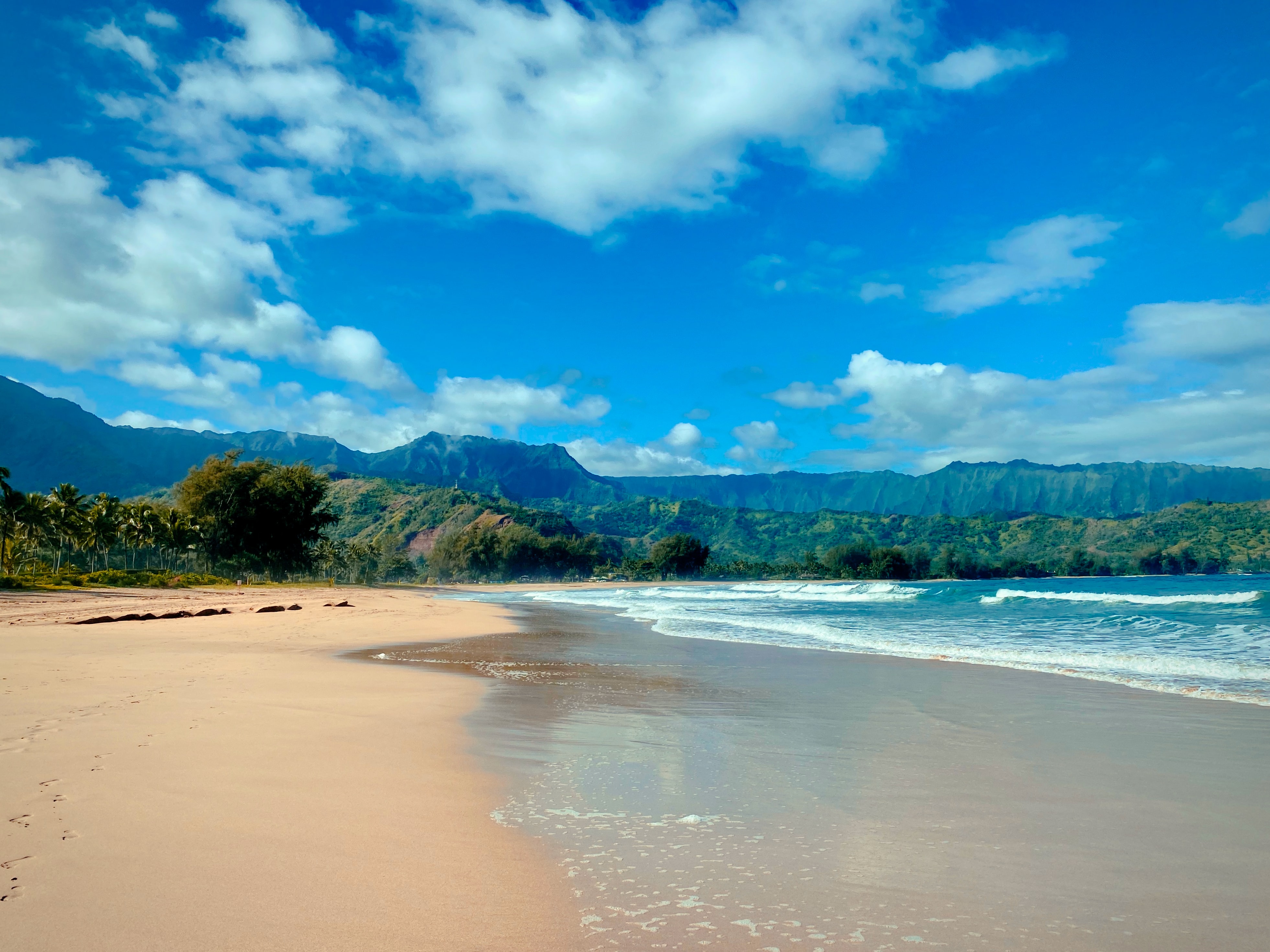
West Kaua’i
Today: Mostly sunny with isolated showers. Highs 79 to 87 near the shore to around 71 above 3000 feet. Northeast winds up to 10 mph shifting to the southeast in the afternoon. Chance of rain 20 percent.
Tonight: Mostly clear. Isolated showers in the evening. Lows 64 to 70 near the shore to around 56 above 3000 feet. Northeast winds up to 15 mph. Chance of rain 20 percent.
Thursday: Mostly sunny with scattered showers. Highs 80 to 86 near the shore to around 71 above 3000 feet. East winds up to 15 mph. Chance of rain 50 percent.
South Kaua’i
Today: Mostly cloudy. Numerous showers in the morning, then scattered showers in the afternoon. Highs 77 to 84. Northeast winds 10 to 15 mph. Chance of rain 70 percent.
Tonight: Mostly cloudy with scattered showers in the evening, then partly cloudy with isolated showers after midnight. Lows around 67. Northeast winds 10 to 15 mph. Chance of rain 40 percent.
Thursday: Partly sunny with scattered showers. Highs 76 to 84. Northeast winds 10 to 15 mph. Chance of rain 40 percent.
Kaua’i Mountains
Today: Mostly cloudy. Showers in the morning, then numerous showers in the afternoon. Highs 70 to 81 in the valleys to 59 to 64 above 4000 feet. East winds up to 15 mph. Chance of rain 80 percent.
Tonight: Mostly cloudy in the evening then becoming partly cloudy. Scattered showers. Lows 60 to 66 in the valleys to around 55 above 4000 feet. East winds up to 15 mph. Chance of rain 50 percent.
Thursday: Partly sunny. Numerous showers in the morning, then scattered showers in the afternoon. Highs 70 to 81 in the valleys to around 63 above 4000 feet. East winds up to 10 mph. Chance of rain 60 percent.
North Kaua’i
Today: Partly sunny. Numerous showers in the morning, then scattered showers in the afternoon. Highs 73 to 82. East winds up to 15 mph. Chance of rain 70 percent.
Tonight: Mostly cloudy in the evening then becoming partly cloudy. Scattered showers. Lows 61 to 69. Southeast winds up to 10 mph. Chance of rain 50 percent.
Thursday: Mostly sunny with scattered showers. Highs 75 to 82. East winds up to 15 mph. Chance of rain 50 percent.
East Kaua’i
Today: Mostly cloudy. Numerous showers in the morning, then scattered showers in the afternoon. Highs 71 to 82. Northeast winds 10 to 15 mph. Chance of rain 70 percent.
Tonight: Mostly cloudy with scattered showers in the evening, then partly cloudy with isolated showers after midnight. Lows 61 to 73. Northeast winds around 10 mph. Chance of rain 50 percent.
Thursday: Partly sunny with scattered showers. Highs 71 to 83. East winds 10 to 15 mph. Chance of rain 50 percent.
Detailed Forecast
Synopsis
A high pressure system building in north of the Hawaiian Islands will keep moderate to locally breezy trade winds in the forecast through Thursday. Thankfully the winds will be strong enough to blow out all that New Year fireworks smoke by morning. The high pressure system will drift east away from the state late Thursday causing the trade wind speeds will weaken and veer from the southeast direction from Friday into early next week. This pattern shift will bring us back to a sea breeze pattern with limited showers and possibly a return to VOG (Volcanic fOG or smOG) for all islands west of the Big Island. No significant rainfall is expected for the next seven days.
Discussion
In the satellite imagery this morning we see a weakening low level disturbance moving westward across the central and western islands. Enhanced low level clouds will produce brief periods of showers through the early morning hours. Showers will diminish a few hours after sunrise for most islands except for Kauai, where brief showers will linger throughout the day. Farther northwest of Kauai a weakening cold front approaches the Hawaii region, this next system will likely diminish before reaching the state with limited weather impacts.
Looking into the winds, we see a high pressure system moving eastward and building into the Central Pacific basin into Thursday. This migratory high center passage will keep moderate to breezy trade winds in the forecast through Thursday. Trade winds will then weaken from Thursday night into Friday as the high center moves into the East Pacific basin and an approaching cold front stalls out northwest of the state. By Friday, wind directions will veer out of the southeast direction and weaken lasting into early next week. These lighter large scale southeasterly winds will allow sea breezes to expand across all islands. The high pressure ridge aloft will produce a stable environment over the island chain, keeping clouds and shower activity to a minimum. Assuming Kilauea continues erupting at a similar intensity, then the southeasterly wind flow will transport VOG or sulfur dioxide (SO2) from the Kilauea Volcano northward. This VOG plume will likely affect all Hawaiian Islands from Friday into early next week. Increasing VOG concentrations mainly affects people with breathing conditions, similar to smog in a big city.
Peering into the extended range forecast, a weak cold front will approach the islands next week from Tuesday to Wednesday. Southerly wind flow during this time period, ahead of the approaching front may produce brief periods of pop up showers, favoring southern mountain slopes. The latest model consensus shows this shallow front moving into the western islands from around next week Wednesday into Thursday. Stay tuned.
Aviation
Expect continued moderate to locally breezy trade winds into Thursday. Showers will fall mainly over windward and mountain areas, favoring the overnight to to early morning hours. Brief MVFR conditions may occur within showers, but otherwise VFR conditions will prevail. Smoke from New Year fireworks that briefly limited visibilities at some TAF sites will dissipate by sunrise.
AIRMET Tango remains in effect for moderate turbulence below 090 south through west of high terrain on Maui and the Big Island. This AIRMET may need to be expanded to cover islands farther to the west later today.
Marine
A ridge north of the main Hawaiian islands will maintain fresh to locally strong trade winds into Thursday. The Small Craft Advisory (SCA) has been extended through early Thursday morning for the typical windier waters around Maui County and the Big Island. The ridge will erode from the west as a front approaches, which will cause the winds near the islands to become light southeasterlies from Thursday night and Friday. A stronger front will arrive Monday night and push away the diminished high.
Multiple overlapping northwest swell have been detected at buoy 51001. The most dominant of these swells is expected to build in today and reach advisory levels along exposed north and west facing shores from tonight into Thursday. The High Surf Advisory (HSA) start time was delayed six hours to account for the latest 51001 buoy data. The HSA is now in effect from 6 PM this evening through 6 PM Thursday, and has been expanded to include north and west facing shores of Niihau, Kauai, Oahu, Molokai, and north facing shores of Maui.
A second, even larger, northwest swell event is expected to build into warning level surf heights over the weekend. Based on the latest model guidance, an extra large northwest will build in rapidly on Saturday, linger through Sunday, and gradually tapper off Monday and Monday night. This swell will rise rapidly and quickly produce warning level surf along exposed north and west facing shores as early as Saturday morning.
Surf along south and east facing shores east facing shores is expected to remain small. Conditions will likely be choppy through Friday along east shores due to the breezy trade wind flow.
Fire weather
No critical fire weather conditions are expected for the next seven days. Trade winds will remain at moderate to locally breezy speeds with relative humidities staying above critical levels through the week. Trades will diminish and veer from the southeast direction late Thursday into Friday, allowing sea breezes to expand over all islands into early next week.
HFO Watches/Warnings/Advisories
High Surf Advisory from 6 PM this evening to 5 PM HST Thursday for Niihau, Kauai Leeward, Waianae Coast, Oahu North Shore, Maui Windward West, Kauai North, Molokai Windward, Molokai North, Molokai West, Maui Central Valley North, Windward Haleakala.
Small Craft Advisory until 6 AM HST Thursday for Maalaea Bay, Pailolo Channel, Alenuihaha Channel, Big Island Leeward Waters, Big Island Southeast Waters.
Kauai Now Weather is brought to you by Blue Hawaiian Helicopters.
Data Courtesy of NOAA.gov
