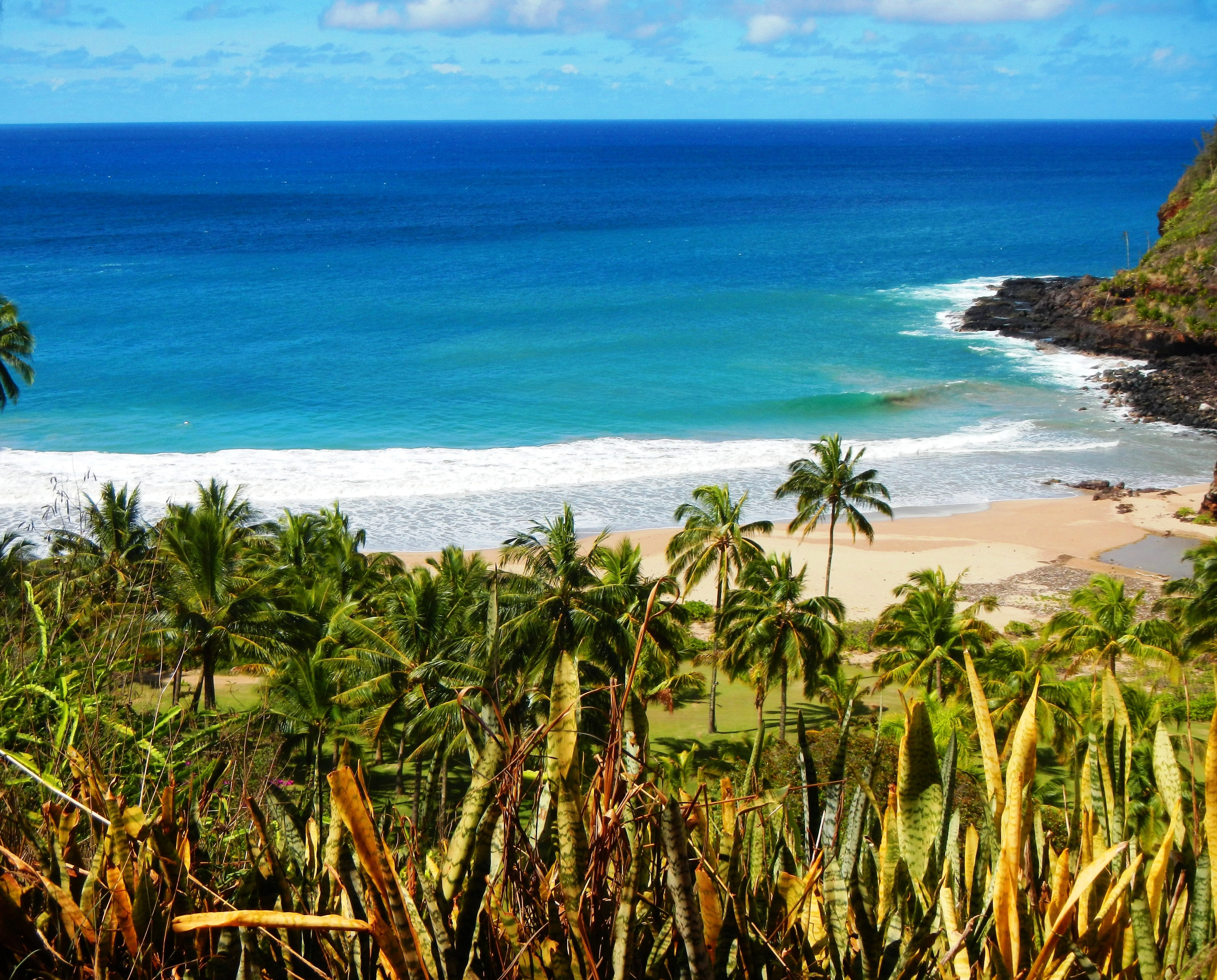
Photo Credit: A Goeller
| Shores |
Today |
Thursday |
| Surf |
Surf |
| AM |
PM |
AM |
PM |
| North Facing |
1-3 |
1-3 |
2-4 |
2-4 |
| West Facing |
0-2 |
0-2 |
1-3 |
1-3 |
| South Facing |
0-2 |
0-2 |
0-2 |
0-2 |
| East Facing |
3-5 |
3-5 |
2-4 |
2-4 |
TODAY
| Weather |
Mostly sunny. Scattered showers. |
| High Temperature |
In the lower 80s. |
| Winds |
East winds around 10 mph. |
| Tides |
| Hanalei Bay |
High 2.2 feet 06:26 AM HST. |
| Low 0.4 feet 03:03 PM HST. |
| Nawiliwili |
High 2.1 feet 07:27 AM HST. |
| Low 0.4 feet 04:25 PM HST. |
|
| Sunrise |
6:52 AM HST. |
| Sunset |
5:54 PM HST. |
TONIGHT
| Weather |
Partly cloudy. Isolated showers. |
| Low Temperature |
In the lower 70s. |
| Winds |
East winds 5 to 10 mph. |
| Tides |
| Hanalei Bay |
High 0.5 feet 06:17 PM HST. |
| Low 0.3 feet 10:24 PM HST. |
| Nawiliwili |
High 0.5 feet 07:18 PM HST. |
| Low 0.3 feet 11:46 PM HST. |
|
THURSDAY
| Weather |
Mostly sunny. Isolated showers. |
| High Temperature |
In the lower 80s. |
| Winds |
East winds 5 to 10 mph. |
| Tides |
| Hanalei Bay |
High 2.0 feet 07:22 AM HST. |
| Low 0.4 feet 03:41 PM HST. |
| Nawiliwili |
High 1.9 feet 08:23 AM HST. |
| Low 0.4 feet 05:03 PM HST. |
|
| Sunrise |
6:52 AM HST. |
| Sunset |
5:54 PM HST. |
Swell Summary
No significant swells are expected the next few days with slowly subsiding trade wind waves; a more calm overall sea state going into the latter half of the week. Nearshore windward buoys are observing a near 5 foot trade wind swell that will maintain above seasonal average rough east shore surf through the day. This short period trade wind swell will decline to around 4 feet Thursday and then further fade throughout the weekend.
ARTICLE CONTINUES BELOW AD ARTICLE CONTINUES BELOW AD A small, medium period northwest (320 degree) swell is due Thursday and will pass by on Friday. A moderate size, lower period northwest (320 degree) swell developing from a pair of lows far northwest of the islands is scheduled to travel through this weekend and peak Sunday. A smaller reinforcing northwest pulse (320 degree) is due Monday and Tuesday. Northeast (30 degree) swell originating from a very large, powerful hurricane force low churning off the U.S. Pacific Northwest coast will begin arriving as a moderate size, medium to long period swell Friday and peak on Saturday. None of these swells are expected to produce advisory level surf.
Data Courtesy of NOAA.gov and SwellInfo.com


