

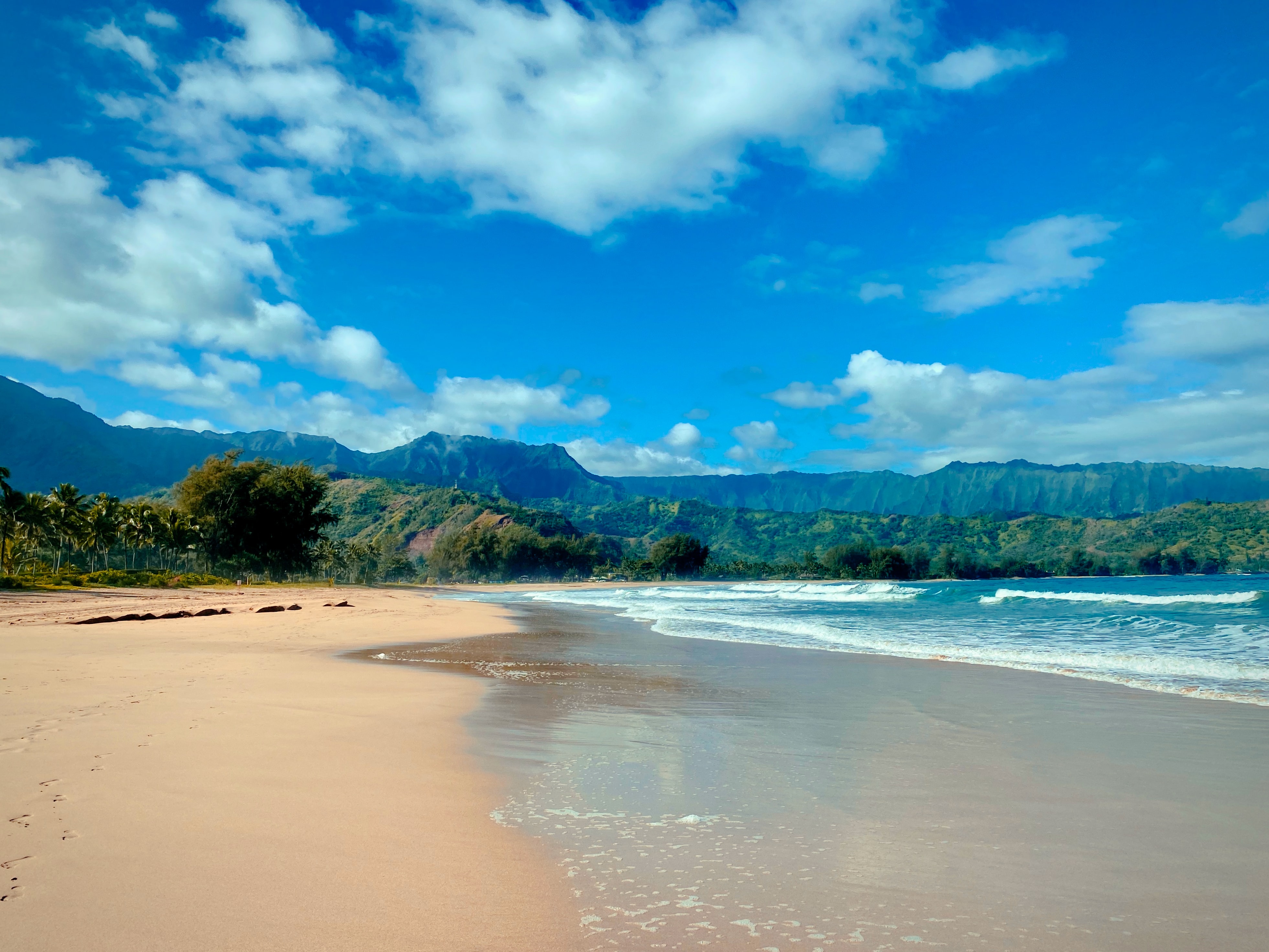
Photo Credit: Jason Weingardt
West Kaua’i
Rest Of Today: Mostly cloudy. Breezy. Scattered showers in the morning, then isolated showers in the afternoon. Highs around 89 near the shore to around 76 above 3000 feet. East winds up to 20 mph. Chance of rain 50 percent.
Tonight: Mostly cloudy. Lows around 72 near the shore to around 61 above 3000 feet. Northeast winds up to 15 mph becoming around 10 mph after midnight.
Wednesday: Mostly sunny. Isolated showers in the afternoon. Highs around 90 near the shore to around 76 above 3000 feet. Northeast winds up to 10 mph shifting to the west in the afternoon. Chance of rain 20 percent.
South Kaua’i
Rest Of Today: Mostly cloudy. Breezy. Scattered showers in the morning, then isolated showers in the afternoon. Highs 80 to 88. Northeast winds 15 to 20 mph. Chance of rain 50 percent.
Tonight: Mostly cloudy with isolated showers. Lows around 72. Northeast winds 10 to 15 mph. Chance of rain 20 percent.
Wednesday: Partly sunny with isolated showers in the morning, then mostly sunny in the afternoon. Highs 81 to 88. Northeast winds 10 to 15 mph. Chance of rain 20 percent.
Kaua’i Mountains
Rest Of Today: Mostly cloudy. Breezy. Numerous showers in the morning, then scattered showers in the afternoon. Highs 74 to 88 in the valleys to 62 to 68 above 4000 feet. East winds 10 to 20 mph. Chance of rain 70 percent.
Tonight: Mostly cloudy with scattered showers. Lows 66 to 72 in the valleys to around 58 above 4000 feet. East winds 10 to 15 mph. Chance of rain 50 percent.
Wednesday: Partly sunny. Scattered showers in the morning, then isolated showers in the afternoon. Highs 75 to 88 in the valleys to 63 to 69 above 4000 feet. Northeast winds 10 to 15 mph. Chance of rain 50 percent.
North Kaua’i
Rest Of Today: Mostly cloudy. Numerous showers in the morning, then scattered showers in the afternoon. Highs 78 to 90. East winds 10 to 15 mph. Chance of rain 60 percent.
Tonight: Mostly cloudy with scattered showers. Lows 66 to 74. Southeast winds 10 to 15 mph. Chance of rain 40 percent.
Wednesday: Partly sunny with scattered showers in the morning, then mostly sunny with isolated showers in the afternoon. Highs 78 to 90. East winds 10 to 15 mph shifting to the northeast in the afternoon. Chance of rain 40 percent.
East Kaua’i
Rest Of Today: Mostly cloudy. Numerous showers in the morning, then scattered showers in the afternoon. Highs 75 to 86. Northeast winds 10 to 15 mph. Chance of rain 70 percent.
Tonight: Mostly cloudy with scattered showers. Lows 66 to 76. Northeast winds 10 to 15 mph. Chance of rain 50 percent.
Wednesday: Partly sunny with scattered showers in the morning, then mostly sunny with isolated showers in the afternoon. Highs 75 to 87. Northeast winds 10 to 15 mph. Chance of rain 40 percent.
Detailed Forecast
Update
The forecast has been updated with increased PoPs over the windward slopes today, and nudging some of the wind speeds up over the first 36 hours. This is in line with the latest high resolution model data that shows winds will remain a little higher than originally expected, and radar supports the higher PoPs in the short term, which is also reflected in the models.
Synopsis
High pressure will meander northwest of the islands and weaken over the next several days. Winds will weaken later today then further weaken during the second half of the week. Stable conditions prevail with any rainfall remaining light.
Aviation
Breezy trade winds will hold in place today, with a slight easing expected tonight. Trade wind showers will continue to bring MVFR cigs/vsbys into windward areas at times through the early morning hours, with improving conditions expected by this afternoon.
AIRMET Sierra is now in effect for mountain obscuration across windward sections of Kauai Oahu Molokai and Maui. This AIRMET will likely need to be expanded to include windward Big Island later this morning.
AIRMET Tango remains in effect for moderate low level turbulence over and downwind of the terrain of all islands. This AIRMET will likely remain in place today.
Marine
A high pressure system northwest of the islands continues to drift west. The ridge axis north of the state will weaken and move south as a low pressure system sets up far northeast of the island chain. Trade winds will continue weakening through Friday. A Small Craft Advisory (SCA) remains in effect through the afternoon hours for the typical windy areas around Maui County and the Big Island. The SCA may be cancelled by tonight as wind speeds continue to trend lower.
Small background energy from the south-southwest swells (200 degrees) will continue along south facing shores throughout the first half of this week. A compact storm force low tracked easterly along 25S to 30S between 170W and 150W over the past several days. This storm should produce a moderate south swell, which should fill in on Thursday, peak Friday and slowly decline over the weekend. Surf will likely be near or above the summer average (5 ft) Thursday through the weekend for south facing shores.
Surf along east facing shores will remain rough and choppy and slowly ease over the next few days as the trade winds ease. Tiny background swell energy from the west-northwest is possible later today into Wednesday due to a Typhoon tracking near Taiwan last week.
Prev discussion
/ISSUED 345 AM HST Tue Jul 30 2024/
This morning sounding show inversions heights have increased about 1 kft overnight and is now around 7 to 8 kft as a slightly above average moisture field works its way through the island chain. High clouds are streaming over the state as low level clouds move of east to west focusing clouds and showers along windward and mauka areas. Overnight rainfall totals range from 01 to .78 inches for the rainier areas of Kauai. CIMSS satellite observations and model guidance shows drier air filling in behind this moisture field and inversion heights sinking to around 4-6 kft this afternoon. The lower inversion heights and available moisture should further limit showers to windward and mauka areas, leaving most leeward locations fairly dry and showers light. The exception would be the kona slopes of the Big Island where afternoon sea breezes can generate isolated showers. This pattern is expected to persist through the week with minor fluctuations in inversion heights and showers due to diurnal patterns and bands of moisture moving through.
A low developing far northeast of the islands will generate a weakness in the the local pressure gradient going forward. Trades will trend downward accordingly, falling into the moderate range later today and potentially becoming light with a corresponding increase in apparent temperature during the second half of the week.
AVIATION… Breezy trade winds will hold in place today, with a slight easing expected tonight. Trade wind showers will continue to bring MVFR cigs/vsbys into windward areas at times through the early morning hours, with improving conditions expected by this afternoon.
AIRMET Sierra is now in effect for mountain obscuration across windward sections of Kauai Oahu Molokai and Maui. This AIRMET will likely need to be expanded to include windward Big Island later this morning.
AIRMET Tango remains in effect for moderate low level turbulence over and downwind of the terrain of all islands. This AIRMET will likely remain in place today.
MARINE… A high pressure system northwest of the islands continues to drift west. The ridge axis north of the state will weaken and move south as a low pressure system sets up far northeast of the island chain. Trade winds will continue weakening through Friday. A Small Craft Advisory (SCA) remains in effect through the afternoon hours for the typical windy areas around Maui County and the Big Island. The SCA may be cancelled by tonight as wind speeds continue to trend lower.
Small background energy from the south-southwest swells (200 degrees) will continue along south facing shores throughout the first half of this week. A compact storm force low tracked easterly along 25S to 30S between 170W and 150W over the past several days. This storm should produce a moderate south swell, which should fill in on Thursday, peak Friday and slowly decline over the weekend. Surf will likely be near or above the summer average (5 ft) Thursday through the weekend for south facing shores.
Surf along east facing shores will remain rough and choppy and slowly ease over the next few days as the trade winds ease. Tiny background swell energy from the west-northwest is possible later today into Wednesday due to a Typhoon tracking near Taiwan last week.
HFO Watches/Warnings/Advisories
Small Craft Advisory until 6 PM HST this evening for Maalaea Bay, Pailolo Channel, Alenuihaha Channel, Big Island Leeward Waters, Big Island Southeast Waters.
Data Courtesy of NOAA.gov
