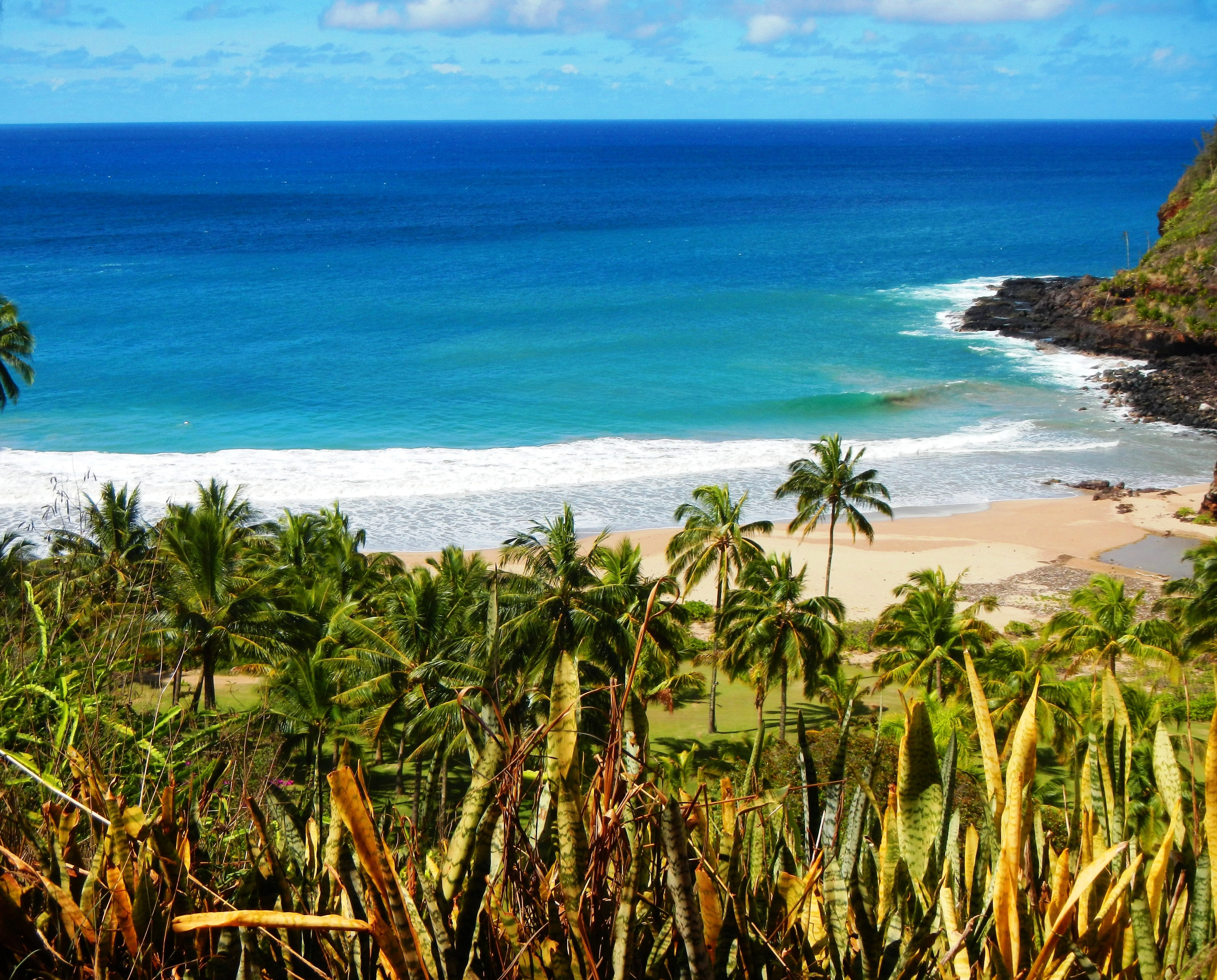
Photo Credit: A Goeller
| Shores |
Today |
Tuesday |
| Surf |
Surf |
| AM |
PM |
AM |
PM |
| North Facing |
22-26 |
22-26 |
15-20 |
12-16 |
| West Facing |
12-16 |
12-16 |
7-10 |
4-6 |
| South Facing |
3-5 |
3-5 |
3-5 |
2-4 |
| East Facing |
4-6 |
4-6 |
4-6 |
4-6 |
TODAY
| Weather |
Mostly cloudy. Numerous showers. |
| High Temperature |
In the upper 70s. |
| Winds |
Northeast winds around 15 mph. |
| Tides |
| Hanalei Bay |
High 2.0 feet 09:02 AM HST. |
| Low 0.2 feet 04:20 PM HST. |
| Nawiliwili |
High 1.9 feet 10:03 AM HST. |
| Low 0.3 feet 05:42 PM HST. |
|
| Sunrise |
6:52 AM HST. |
| Sunset |
5:54 PM HST. |
TONIGHT
| Weather |
Mostly cloudy. Scattered showers. |
| Low Temperature |
In the mid 60s. |
| Winds |
Northeast winds around 10 mph. |
| Tides |
| Hanalei Bay |
High 1.0 feet 10:42 PM HST. |
| Low 0.6 feet 02:38 AM HST. |
| Nawiliwili |
High 0.9 feet 11:43 PM HST. |
| Low 0.7 feet 04:00 AM HST. |
|
TUESDAY
| Weather |
Partly sunny. Scattered showers. |
| High Temperature |
Around 80. |
| Winds |
East winds 10 to 15 mph. |
| Tides |
| Hanalei Bay |
High 1.9 feet 09:57 AM HST. |
| Low 0.1 feet 04:42 PM HST. |
| Nawiliwili |
High 1.8 feet 10:58 AM HST. |
|
| Sunrise |
6:52 AM HST. |
| Sunset |
5:54 PM HST. |
Swell Summary
A large NNW swell (340 degrees) has rapidly built in overnight over the western half of the state, and a High Surf Warning (HSW) has been issued for shores most exposed to the swell, with a High Surf Advisory for shores less exposed.
ARTICLE CONTINUES BELOW AD ARTICLE CONTINUES BELOW AD While the predominant period of the primary NNW (340 degrees) swell train will be around 14 seconds, the proximity of near gale force winds over waters just NW of the area will introduce a wide spectrum of wave energy extending into the shorter periods, resulting in rough and choppy surf along exposed N facing shores. The increasing seas will require an SCA for most waters through Tuesday. The swell will transition increasingly northerly (360 degrees) as it gradually diminishes late Monday/Tuesday.
A small S swell will gradually decline over the next couple of days. A small to moderate long-period NW (320 degrees) swell is expected Wednesday night and Thursday, followed by the potential for a very large NW (320 degrees) swell by the end of the week.
Surf along E facing shores will remain rough and choppy as the trade winds build back this week. Although, E facing shores exposed to the N swell wrap will see a rise coinciding with the N swell.
Data Courtesy of NOAA.gov and SwellInfo.com


