

Island forecast
Waimea, Kauai Weather
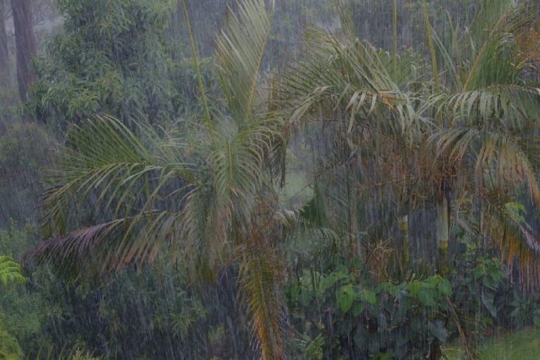
Clear daily guidance, radar access and the latest regional weather reporting in one place.
- Change Towns
- Anahola
- Lihue
- Princeville
- Waimea
Multi-day outlook
Forecast timeline
Scroll for the full forecast
Today
Tonight
Monday
Monday Night
Tuesday
Tuesday Night
Wednesday
Wednesday Night
Thursday
Thursday Night
Friday
Friday Night
Saturday
Saturday Night
Latest Weather News
 Weather Radar
Regional forecast
Regional Kauai Weather Forecast July 12, 2026

West Kaua’i
Tonight: Mostly cloudy. Breezy. Isolated showers in the evening, then scattered showers after midnight. Lows around 73 near the shore to around 64 above 3000 feet. East winds up to 20 mph. Chance of rain 50 percent.
Sunday: Breezy. Partly sunny with isolated showers. Highs 85 to 91 near the shore to around 76 above 3000 feet. East winds up to 20 mph. Chance of rain 20 percent.
Sunday Night: Mostly cloudy with isolated showers. Lows around 72 near the shore to around 63 above 3000 feet. East winds up to 15 mph increasing to 10 to 15 mph after midnight. Chance of rain 20 percent.
South Kaua’i
Tonight: Breezy. Mostly cloudy with scattered showers. Lows around 74. Northeast winds 15 to 20 mph. Chance of rain 50 percent.
Sunday: Mostly cloudy. Breezy. Numerous showers in the morning, then scattered showers in the afternoon. Highs 78 to 89. Northeast winds 15 to 20 mph. Chance of rain 70 percent.
Sunday Night: Breezy. Mostly cloudy with scattered showers. Lows around 73. Northeast winds 15 to 20 mph. Chance of rain 50 percent.
Kaua’i Mountains
Tonight: Breezy. Numerous showers in the evening, then occasional showers after midnight. Lows around 69 in the valleys to around 61 above 4000 feet. East winds 10 to 20 mph. Chance of rain near 100 percent.
Sunday: Breezy. Occasional showers. Highs 73 to 81 in the valleys to around 66 above 4000 feet. East winds 10 to 20 mph. Chance of rain near 100 percent.
Sunday Night: Mostly cloudy with numerous showers. Lows around 68 in the valleys to around 60 above 4000 feet. East winds 10 to 15 mph. Chance of rain 70 percent.
North Kaua’i
Tonight: Mostly cloudy with scattered showers. Lows 65 to 75. East winds 10 to 15 mph decreasing to up to 15 mph after midnight. Chance of rain 50 percent.
Sunday: Mostly cloudy. Numerous showers in the morning, then scattered showers in the afternoon. Highs 70 to 86. East winds up to 15 mph. Chance of rain 70 percent.
Sunday Night: Mostly cloudy with scattered showers. Lows 64 to 74. East winds 10 to 15 mph. Chance of rain 50 percent.
East Kaua’i
Tonight: Mostly cloudy. Scattered showers in the evening, then numerous showers after midnight. Lows 68 to 76. Northeast winds 10 to 15 mph. Chance of rain 70 percent.
Sunday: Occasional showers in the morning, then scattered showers in the afternoon. Highs 76 to 85. Northeast winds 10 to 15 mph. Chance of rain near 100 percent.
Sunday Night: Mostly cloudy. Numerous showers in the evening, then scattered showers after midnight. Lows 67 to 75. Northeast winds 10 to 15 mph. Chance of rain 70 percent.
Detailed Forecast
Synopsis
Strong high pressure well north of the state (40N to 45N) will produce breezy trade winds into the first half of next week. A slight weakening and veering of the trade winds is possible during the second half of next week as the high pressure moves northeast and low pressure potentially develops in the tropics to the SSW. An increase in moisture will bring enhanced showers to windward and mauka locations Saturday night into Sunday, and again Tuesday into Wednesday.
Short term update
Latest radar and satellite observations depict light, isolated showers and scattered cloud coverage embedded with the moderate to locally breezy trade wind regime, predominately across windward and mauka areas. The current forecast describes the situation well, therefore no amendments will be made for this evening's update.
Prev discussion
Issued at 304 PM HST Sat Jul 11 2026 Radar shows isolated showers windward and mauka this afternoon as we await an increase in moisture coming in late tonight through Sunday. Skies were sunny to mostly sunny over most areas. Trade winds were still breezy, averaging 10 to 20 mph with gusts above 30 mph in favored locations.
Models continue to show an area of increased moisture moving in late tonight and lasting through Sunday. We have slightly increased the chance of showers, especially windward and mauka, through this time period. A second similar area is coming into focus in the guidance, due to arrive Tuesday afternoon through Wednesday afternoon. Otherwise, expect a continuation of trade winds with only a slight drop off in speed as we move into the new workweek.
To our south, we are seeing continuing signs of potential tropical storm formation, but at this time there is nothing that would directly impact the state. Farther out in time (July 20 to the end of the month), chances increase but still remain small.
Aviation
Overall weather pattern continues to favor breezy trades through the weekend. Periodic showers are possible across mainly windward sites, bringing tempo MVFR conditions as a result, but otherwise expecting mostly VFR conditions across the state.
AIRMET Sierra is in effect for windward Kauai, Oahu, Lanai, and Maui as a result of the aforementioned shower activity. This is expected to continue through at least the overnight hours.
AIRMET Tango also remains in effect for low-level turbulence downwind of terrain, and is expected to continue for the next several days as we remain under a breezy trade wind pattern.
Marine
Issued at 304 PM HST Sat Jul 11 2026 Strong high pressure will remain anchored far north of the state, driving fresh to strong trade winds across the region. A Small Craft Advisory (SCA) remains in effect across all Hawaiian coastal waters through Sunday afternoon, though marine zones outside of the typical windier waters look borderline. The trades will weaken slightly heading into early next week, which will likely lead to the SCA being scaled back to those windier waters and channels around Maui County and the Big Island.
The current small medium-period south-southwest (190-200 degrees) swell will hold surf just below the summer average through the evening. A small to moderate, long-period southwest swell (220 degrees) will fill in tonight through Monday, which will boost surf through early next week. Forerunners from this swell have started to fill in along south-facing shores, as evidenced by a slight boost in the 18 to 22 second band energy observed at the Barber's Point and Lanai buoys this afternoon.
Surf along east-facing shores will remain rough and choppy through the forecast period as fresh to strong trades hold. A series of small, moderate period west (270 to 280 degrees) swells will hold into early next week, followed by a small, long-period west-northwest (280 to 290 degrees) swell heading into midweek, sourced from Typhoon Bavi in the far western Pacific. No significant north or northwest swells are expected, so surf along north-facing shores is expected to remain flat to tiny.
Higher than normal high tides are expected due to upcoming King Tides, and with water levels running slightly higher than predicted, minor coastal flooding will be possible each afternoon starting tomorrow through Wednesday. However, minor coastal flooding is most likely to occur on Monday and Tuesday afternoons. Interests immediately along the coasts in low-lying or vulnerable areas should continue to monitor forecasts.
HFO Watches/Warnings/Advisories
Small Craft Advisory until 6 PM HST Sunday for Alenuihaha Channel, Big Island Leeward Waters, Big Island Southeast Waters, Big Island Windward Waters, Kaiwi Channel, Kauai Channel, Kauai Leeward Waters, Kauai Northwest Waters, Kauai Windward Waters, Maalaea Bay, Maui County Leeward Waters, Maui County Windward Waters, Oahu Leeward Waters, Oahu Windward Waters, Pailolo Channel.
Kauai Now Weather is brought to you by Blue Hawaiian Helicopters.
Check out their Kaua‘i Helicopter Tours today!
Data Courtesy of NOAA.gov