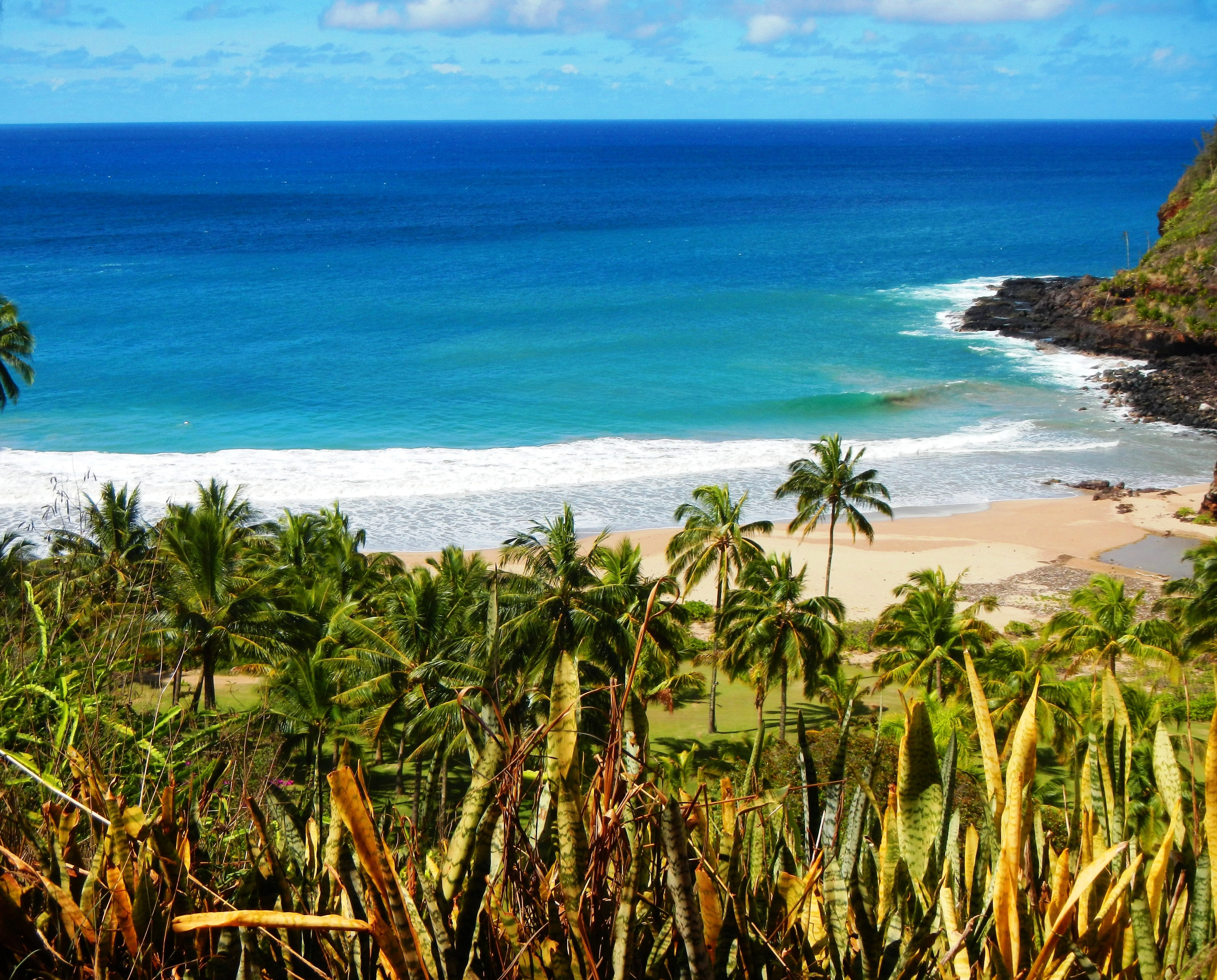
Photo Credit: A Goeller
| Shores |
Today |
Saturday |
| Surf |
Surf |
| AM |
PM |
AM |
PM |
| North Facing |
6-8 |
6-8 |
7-10 |
10-14 |
| West Facing |
3-5 |
3-5 |
4-6 |
6-8 |
| South Facing |
2-4 |
2-4 |
2-4 |
2-4 |
| East Facing |
1-3 |
1-3 |
1-3 |
1-3 |
TODAY
| Weather |
Mostly sunny. Scattered showers. |
| High Temperature |
Around 80. |
| Winds |
East winds around 5 mph. |
| Tides |
| Hanalei Bay |
High 0.5 feet 09:50 AM HST. |
| Low 0.3 feet 01:29 PM HST. |
| Nawiliwili |
High 0.5 feet 10:51 AM HST. |
| Low 0.3 feet 02:51 PM HST. |
|
| Sunrise |
5:59 AM HST. |
| Sunset |
7:08 PM HST. |
TONIGHT
| Weather |
Mostly cloudy. Isolated showers. |
| Low Temperature |
In the upper 60s. |
| Winds |
Northeast winds around 5 mph, becoming
north after midnight. |
| Tides |
| Hanalei Bay |
High 1.8 feet 09:41 PM HST. |
| Low 0.0 feet 04:47 AM HST. |
| Nawiliwili |
High 1.7 feet 10:42 PM HST. |
|
SATURDAY
| Weather |
Partly sunny. Scattered showers. |
| High Temperature |
Around 80. |
| Winds |
Northeast winds 5 to 10 mph. |
| Tides |
| Hanalei Bay |
High 0.8 feet 11:06 AM HST. |
| Low 0.4 feet 03:21 PM HST. |
| Nawiliwili |
Low 0.1 feet 06:09 AM HST. |
| High 0.8 feet 12:07 PM HST. |
| Low 0.4 feet 04:43 PM HST. |
|
| Sunrise |
5:59 AM HST. |
| Sunset |
7:09 PM HST. |
Swell Summary
Several pulses of medium-period north-northwest swell are expected to arrive through the weekend, with the swell gradually shifting to the north-northeast early next week. The strongest of the pulses, with potentially up to 10 feet of swell, will lead to High Surf along most north facing shores this weekend. The first pulse will support elevated surf today, with surf remaining well below High Surf Advisory heights. The next pulse will be unseasonably large, building tonight and Saturday, likely peaking Saturday night and Sunday. The low responsible for this swell will persist far northeast of the islands, supporting elevated medium-period north-northeast swell into the middle of next week.
ARTICLE CONTINUES BELOW AD ARTICLE CONTINUES BELOW AD Relatively small but persistent medium to long-period south and south-southeast swells will continue for at least the next couple of days, with some long-period energy from the southwest also possible next week. This will keep surf near seasonal averages along all south facing shores for the foreseeable future. Surf along east facing shores will remain small as upstream trade wind flow remains interrupted, but there will likely be some wrap from the north- northeast next week to bring a modest increase in surf heights.
Data Courtesy of NOAA.gov and SwellInfo.com


