


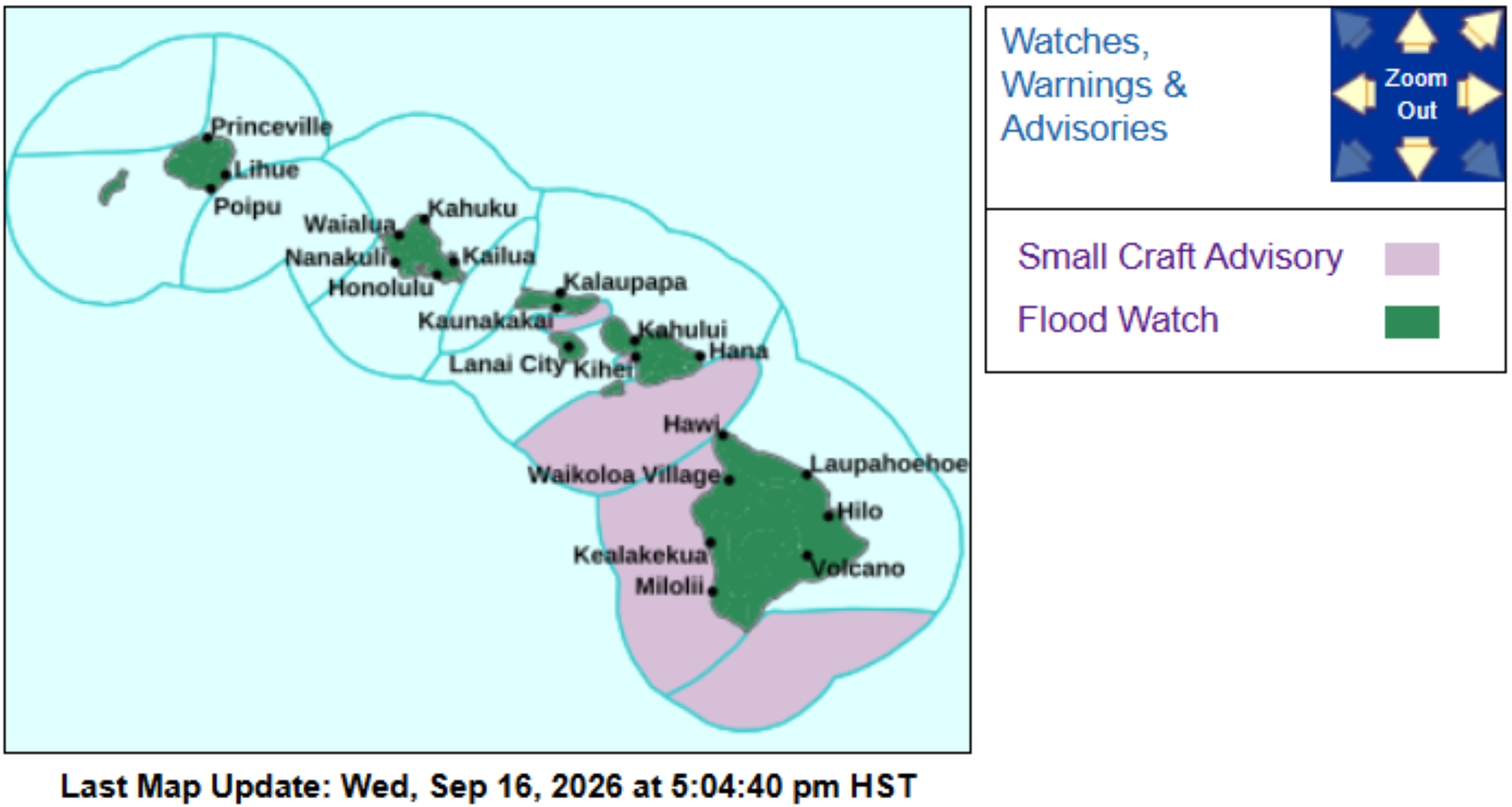
A flood watch is in effect from 6 p.m. Sept. 16 through 6 a.m. Sept. 18 as remnant moisture from former Tropical Storm Norbert is expected to result in periods of moderate to heavy showers throughout the state.
The watch is in effect for the entire state.
Flooding will be possible on flood-prone roads and in other low-lying areas, which also could be closed because of elevated runoff and overflowing streams.
Urban areas could even receive more significant flooding and property damage because of rapid runoff.
National Weather Service forecasters added that the public should monitor later forecasts and be prepared to take action if flash flood warnings are issued.
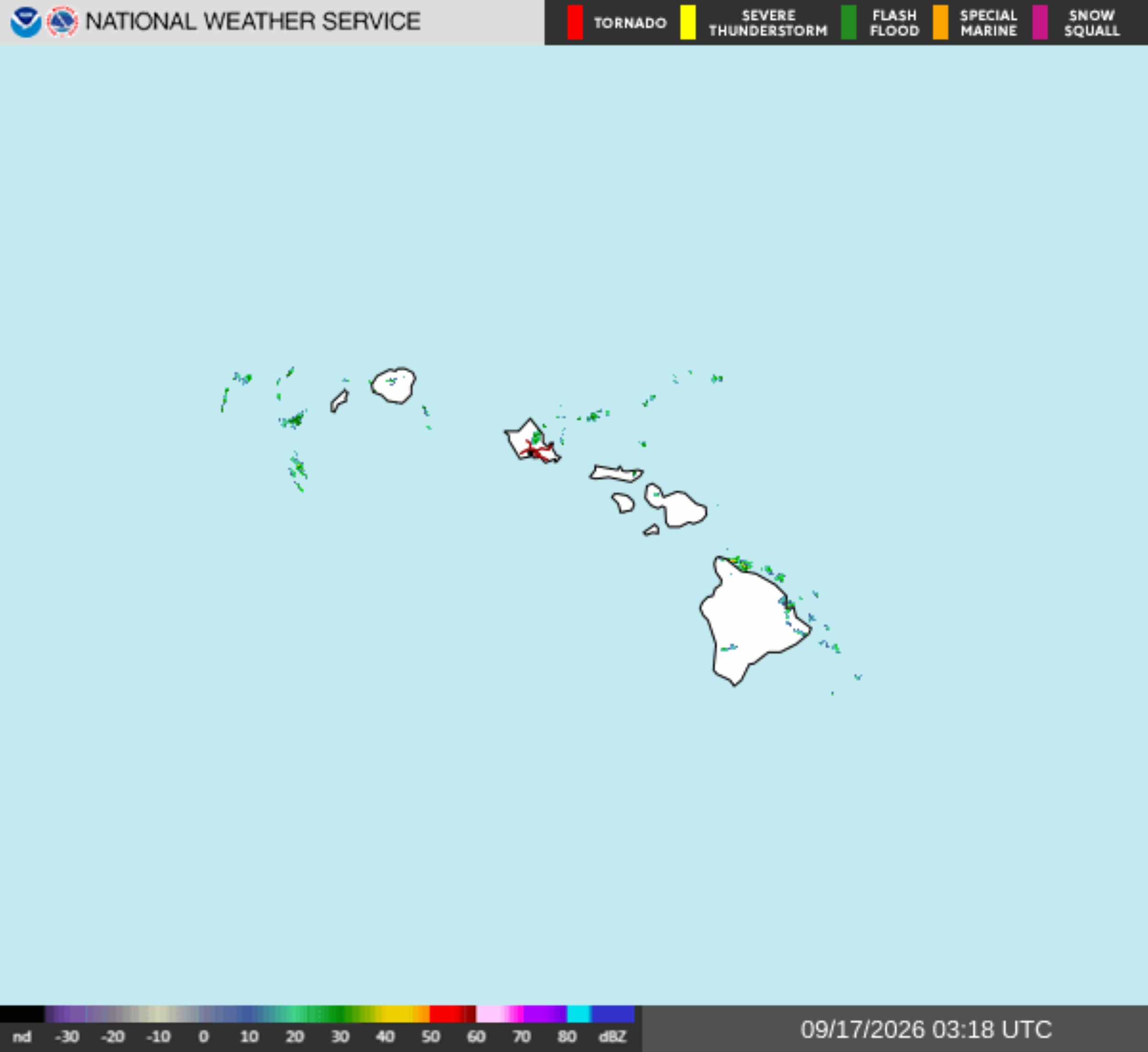
Monitor local forecasts and find any issued advisories, watches or warnings by checking the National Weather Service Honolulu forecast office website.
A band of remnant moisture from Norbert will move east across the islands Wednesday night and through Friday morning, forecast to cause moderate to locally heavy showers.
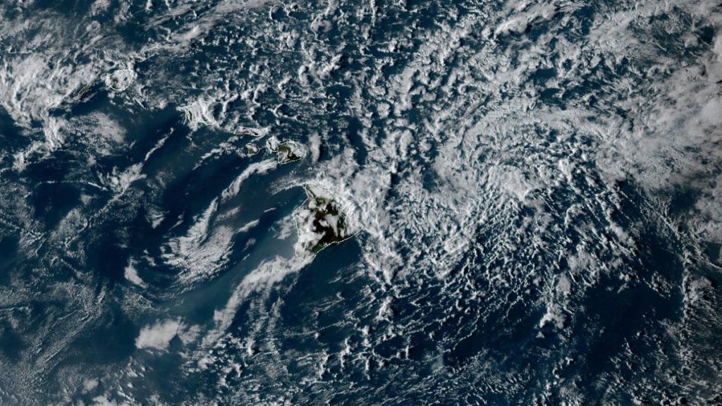
Afternoon National Weather Service satellite imagery at about 4 p.m. Wednesday showed an upper level low about 1,400 miles north-northeast of the islands with a trough extending southwestward. Isolated light showers continued to move westward with the greatest coverage from Maui northward.
Trade winds were forecast to continue strengthening through the afternoon as the upper trough approaches.
The upper level trough will dig southwest tonight into Thursday, pulling in the remnant moisture from Norbert.
Satellite imagery showed a broad area of precipitable water in excess of 2″ beginning to move over the Big Island, which is forecast to move across the remaining islands tonight into Thursday.
Deeper moisture and increasing instability will bring moderate to locally heavy showers and a slight chance of thunderstorms. The highest threat of thunderstorms will be Thursday afternoon around the Big Island, which could produce briefly higher rainfall rates and increase the risk of flash flooding.
Heaviest rainfall is expected in windward and mauka areas.
With soil moisture likely still high from previous heavy rain events, there is an increased risk of flash flooding where heavier showers and thunderstorms happen.
Moisture will then decrease from east to west late Friday through the weekend; however, there is potential for another round of increasing moisture from remnants of tropical depression 15-E moving in about Tuesday to Wednesday next week.
Future models show at least a weak low-level wave associated with that moisture; however, others keep the state under a ridge, limiting the potential for heavier showers.

