


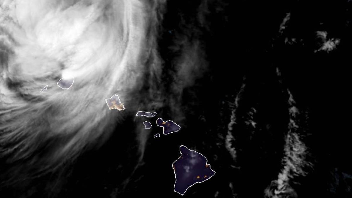
Updated at 1 a.m. Sept. 8
A hurricane warning is in effect for Kauaʻi County, which includes Kauaʻi and Niʻihau.
Damaging winds are now occurring on Kauai, Niihau and Oahu. Wind gust reports since midday show highest values across Kauaʻi County and Oʻahu from 50 to 80 mph, with peak winds expected to last for a few more hours tonight.
According to the National Weather Service, it is important to note that winds can be accelerated over and downwind of terrain, leading to areas of stronger wind gusts. As winds shift to south overnight, areas affected by downslope wind gusts will likely change.
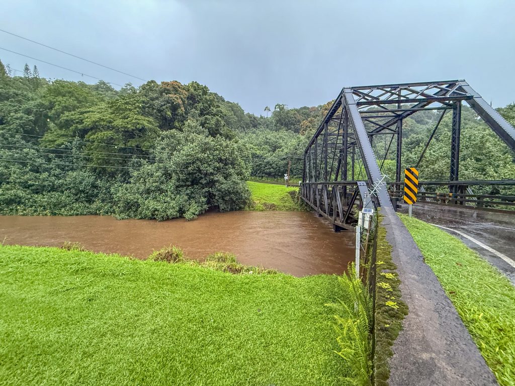
Flood warning
A flood warning is in effect for Kauaʻi due to heavy rains occurring over the island. The warning may be extended, dropped, or modified as conditions develop.
Heavy downpours could lead to flash flooding and mudslides, especially in steep terrain, and rainbands could become persistent and anchored in some areas, exacerbating the flash flood threat.
The risk of flash flooding is greatest for Kauaʻi and Niʻihau, where many stations have measured 2 to 10 inches of rain with higher values in the upper elevations. The flood threat also exists for all other islands due to deep moisture surrounding Lowell.
Over 20 inches of storm total rain is possible over portions of Kauaʻi, mainly over the interior mountains, and up 12 inches remains possible over southeast Big Island.
At 1:17 a.m., Doppler radar indicated that rain has ended over Kauaʻi. However, flooding impacts are ongoing in many locations. Although river gages indicate stream levels steadily falling, nearly all streams across the island remain elevated due to continuing runoff.
Flash flooding of small creeks and streams, urban areas, highways, streets and underpasses as well as other poor drainage and low-lying areas.
A flash flood warning means flash flooding is imminent or occurring in streams, roads, and low-lying areas. Do not cross fast-flowing or rising water in your vehicle or on foot.
Lowell is expected to produce additional rainfall totals of 4 to 8 inches for Kauaʻi, with maximum totals of 24 inches possible. This rainfall may produce significant flash flooding and mudslides.
Ponding, low visibility, and other hazardous driving conditions are expected. If you must drive, please do so with caution.
For updates on road conditions and closures, please call 808-241-1725. Please do not call Kauaʻi police at 911 unless you have an emergency.
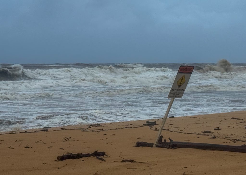
Storm surge
An extremely large south to southwest swell generated by Lowell will continue to rapidly build through the evening and peak tonight. A high surf warning is in effect for south-facing shores of all islands and for west-facing shores of the Big Island.
The deepest water will occur along the immediate coast near and to the right of the center, where the surge will be accompanied by large and destructive waves. Surge-related flooding depends on the relative timing of the surge and the tidal cycle, and can vary greatly over short distances.
Potential impacts in Niʻihau and Kauaʻi include:
- Areas of inundation with storm surge flooding accentuated by waves.
- Damage to several buildings, mainly near the coast.
- Sections of near-shore escape routes and secondary roads become weakened or washed out, especially in usually vulnerable low spots.
- Major beach erosion with heavy surf overtopping nearby roadways.
- Moderate damage to marinas, docks, and piers.
- Several small craft broken away from moorings, especially in unprotected anchorages.
High surf warning
A high surf warning for south and west-facing shores of Kaua‘i and Ni‘ihau has been extended until 6 p.m. Tuesday.
An extremely large south to southwest swell generated by Lowell will continue to rapidly build through the evening and peak tonight. A high surf warning is in effect for south-facing shores of all islands and for west-facing shores of the Big Island.
Dangerously large and damaging surf and coastal inundation are expected along the immediate coast of exposed south and west-facing shores of Kauaʻi and Niʻihau.
The highest surf may reach 20 to 30 feet on Kauaʻi and Niʻihau tonight, then rapidly diminish on Tuesday. Extra large surf, on top of 1 to 4 feet of storm surge, will generate major wave run-up and coastal inundation along exposed low lying areas of south and west-facing shores of Kauaʻi and Niʻihau.
The National Weather Service also has issued a high surf advisory for east-facing shores of Kaua’i and Niʻihau.
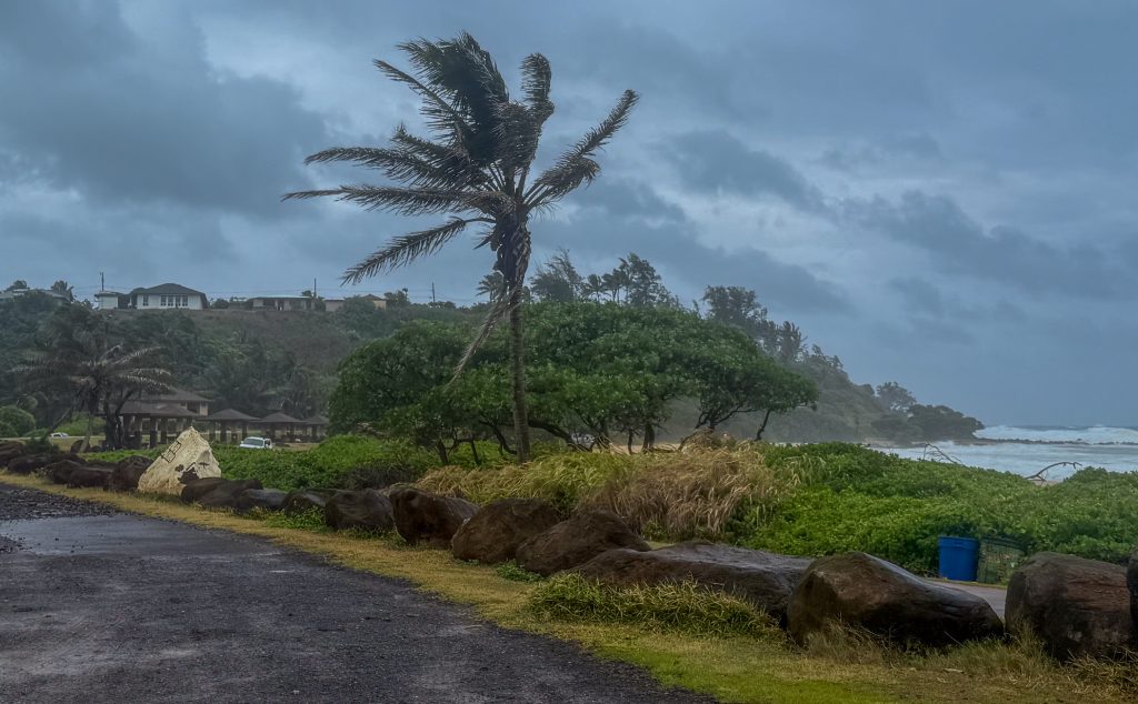
Entering the water in these areas during the high surf warning is very hazardous and could cause serious injury or death. Beachgoers are also advised to use extreme caution, as large breaking waves could make it dangerous for those standing along the shoreline.
For updated information on ocean and weather alerts, visit the NWS website, www.weather.gov/hfo.
For up-to-date information about Kaua‘i ocean conditions and ocean safety, speak to a county lifeguard at any lifeguard station, visit https://safebeachday.com/county/kauai/, or call the Ocean Safety Bureau at 808-241-4984.
Tornadoes
The occurrence of scattered tornadoes are possible and could impact Niʻihau and Kauaʻi, hindering the execution of emergency plans during tropical events.
Conditions are conducive for fast-moving, short-lived waterspouts and tornadoes in the rainbands associated with Lowell, mainly near Kauaʻi and Niʻihau. This threat will continue through tonight, then diminish quickly Tuesday morning.
Several places may experience tornado damage with a few spots of considerable damage, power loss, and communications failures. Locations could realize roofs torn off frame houses, mobile
homes demolished, boxcars overturned, large trees snapped or uprooted, vehicles tumbled, and small boats tossed about. Dangerous projectiles can add to the toll.
If a tornado warning is issued for your area, take cover immediately. Move to an interior room on the lowest floor of a sturdy building, away from windows. If you are outdoors or in a vehicle, move to the nearest substantial shelter and protect yourself from flying debris.

