

A flood watch previously in effect for the entire state was canceled shortly after 3 a.m. Saturday, May 16, as widespread flooding is no longer expected to pose a threat to the islands.
A special weather statement issued earlier this week by National Weather Service forecasters in Honolulu advised that a strong unseasonable upper-level low pressure system would produce brief, heavy showers moving over most of the state Friday and into Friday night, May 15, from Ni‘ihau through Maui.
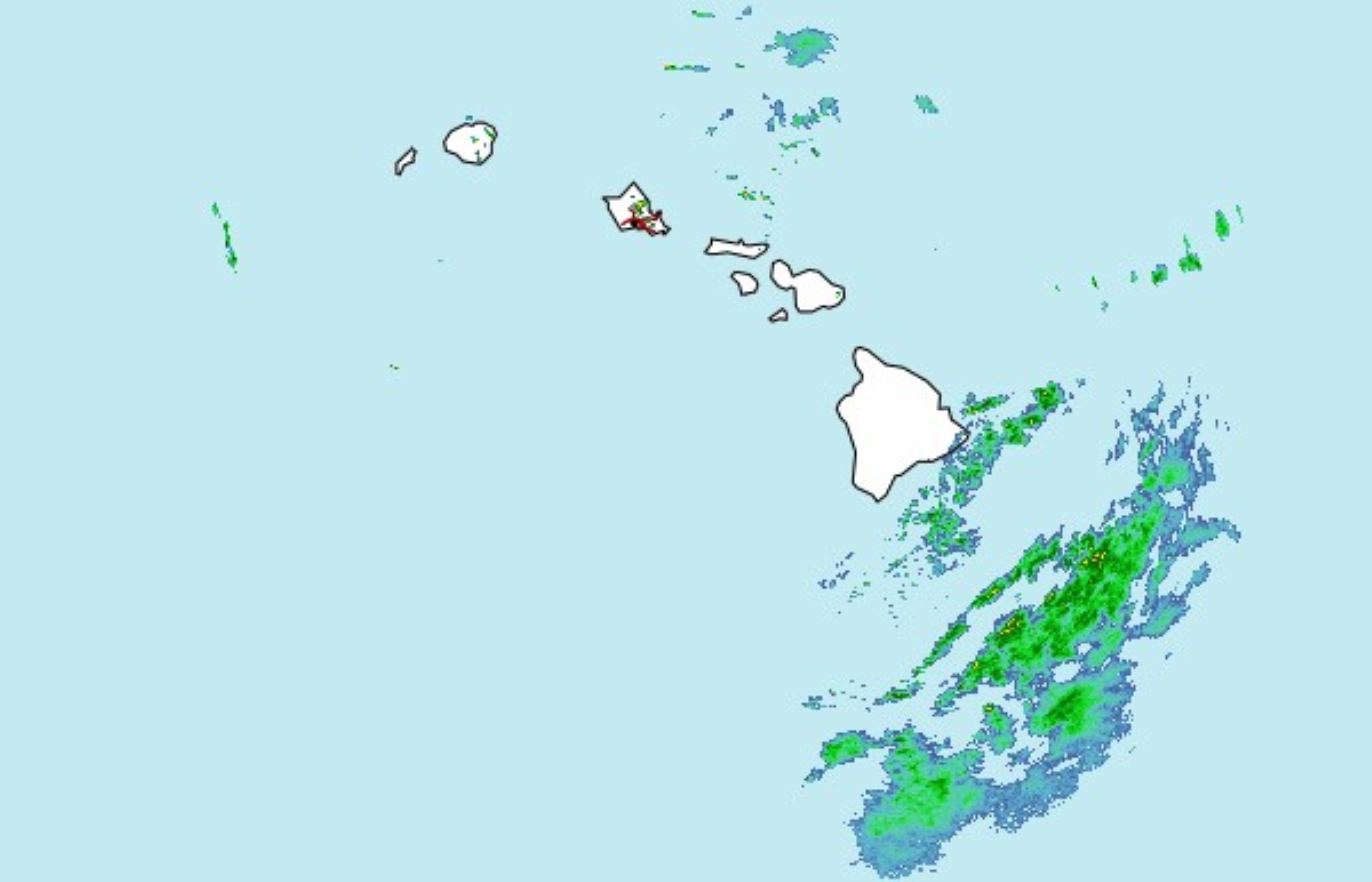
The storm system brought with it very unstable air for the first time this year — enough to produce heavy showers or thunderstorms in some spots.
Most were relatively brief, which made widespread flash flooding unlikely but kept a possibility of ponding water in poor drainage areas, and even some small hail, in the forecast during a few of the heavier downpours Friday and Friday night.
Some of that heavy rainfall also reached the Big Island; however, the highest rain gauge totals on the island were below 4.5 inches compared with up to nearly 6 inches drenching a portion of Kaua‘i.
Forecasters, in response to the increased threat of heavy rainfall, issued the flood watch, which was initially set to expire at 6 a.m. Saturday.
Highest 24-hour rainfall totals
(For the period from 11:45 p.m. Thursday to Friday, May 14-15, recorded by automated rain gauges reporting to National Weather Service in Honolulu; totals are in inches.)
Kaua‘i
(all windward/mauka sites)
- Molaʻa Dairy: 5.69
- Līhuʻe Airport: 4.58
- Anahola: 3.53
- Hanalei: 3.11
- Kapahi: 2.44
Hawai‘i Island
(all windward sites)
- Honoliʻi Stream: 4.27
- Pi‘ihonua: 2.60
- Kulaʻimano: 1.87
- Institute of Pacific Islands Forestry: 1.62
- Mountain View: 1.62
- Laupāhoehoe Power Development: 1.41
- Hilo Airport: 1.15
- Glenwood: 1.13
- Saddle Quarry: 1.04
- Spencer: 1.01
Note: These are provisional totals that have not been quality controlled.
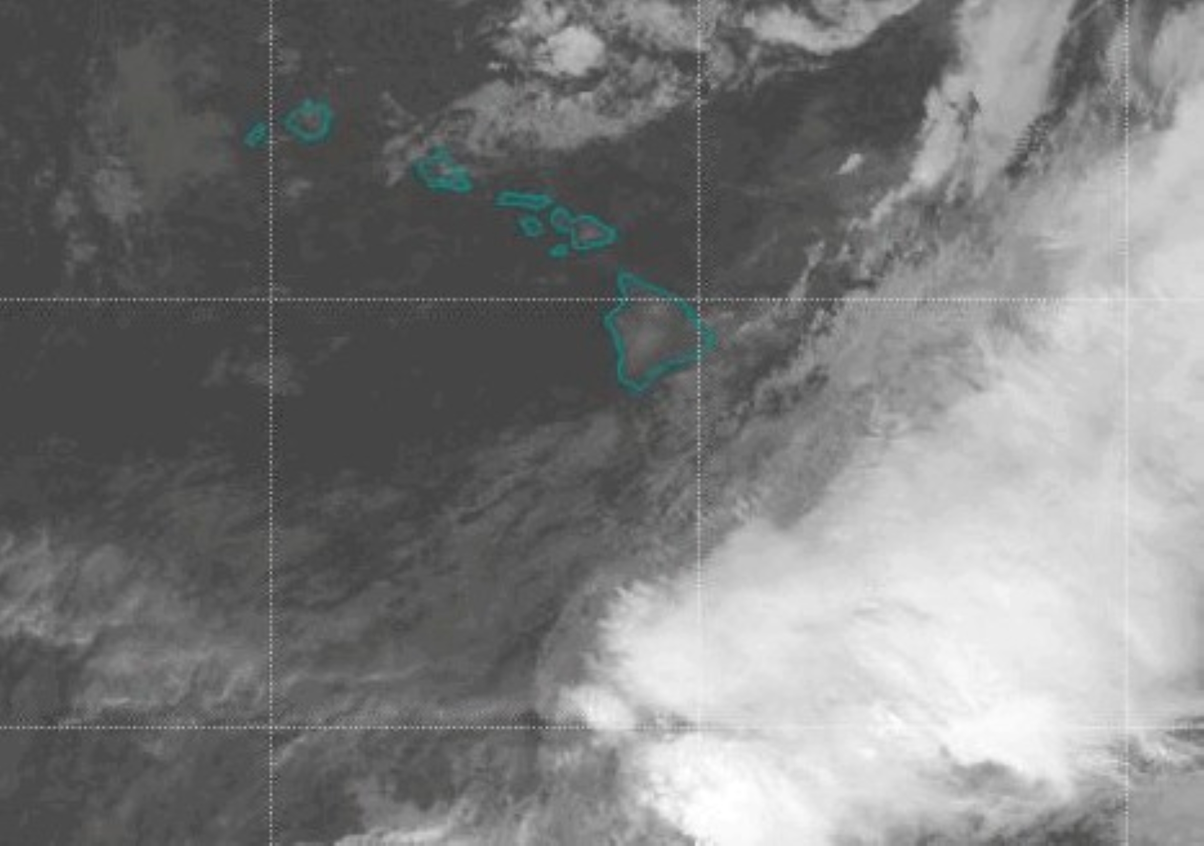
The National Weather Service area forecast discussion for the state, most recently issued just after 3:30 a.m. Saturday, reports that a slightly unstable trade wind flow will prevail today as the upper-level low weakens, producing isolated heavy showers and possibly thunderstorms mainly on the Big Island because of increased low-level moisture filtering in from the east.
Moderate easterly trade winds, however, will focus rainfall over windward areas of all islands
Somewhat wet easterly trade winds will focus most rainfall along windward slopes Sunday, May 17, and into early next week before a more stable, moderate to breezy trade wind flow develops Tuesday and Wednesday, May 19-20.
Heavy showers and thunderstorms decreased dramatically Friday night as the storm system over the islands weakened. Easterly trades focused mainly moderate showers over windward slopes overnight into Saturday.
There is some lingering instability from the passing storm, but so far, only a few heavy showers briefly flared up, even with a steady supply of low-level moisture streaming into windward Big Island.
Chance of heavy showers and thunderstorms will continue to diminish Saturday as the low pressure system drifts eastward and weakens.
Moderate easterly winds and a somewhat wet pattern of mainly windward and mauka showers is expected Sunday into early Tuesday as the weakening storm system is eventually replaced with a broad and flat upper-level trough, which will not allow the atmosphere to become very stable.
Briefly heavy shower, mainly over heated leeward slopes of the Big Island and Maui during the afternoon cannot be ruled out as a result.
Increased stability and stronger trade winds are forecast to arrive late Tuesday or Wednesday, with a typical pattern of mainly windward rainfall and mostly dry conditions leeward settling back in.
A coastal flood statement also remains in effect through Monday afternoon, May 18, as isolated minor flooding along shorelines and in low-lying coastal areas continues to be possible during and near daily high tides in late afternoon.
The flooding is being caused by peak monthly high tides combined with higher-than-predicted water levels that can cause flooding of beaches that are normally dry, minor coastal erosion and saltwater inundation.
Members of the public are advised to:
- Avoid driving through flooded roadways, and if forced to drive through salt water to be sure and rinse their vehicle with fresh water.
- Move electronics, vehicles or other valuables to higher ground.
- Monitor vessels to ensure mooring lines don’t get too tight and watch out for overwash around boat ramps.
- Secure canoes or other watercraft stowed on beaches.
Anyone who captured photos of coastal flooding and wants to share them can send them to University of Hawaiʻi Sea Grant College Hawaiʻi and Pacific Islands King Tides Project online.
News reporter Nathan Christophel contributed to this story.
