

Another Kona low storm developing west of the Hawaiian Islands is expected to bring widespread rain and potential flash flooding Thursday evening through the weekend, according to the Hawai‘i Emergency Mangement Agency.
Matt Foster, meteorologist for the National Weather Service in Honolulu, said Wednesday the next Kona low will start developing Thursday afternoon with potential flooding by Thursday night. However, he said O‘ahu and the Big Island are the islands expected to feel the brunt of the incoming system.
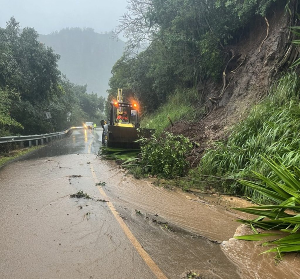
Kaua‘i County experienced widespread flooding during the Kona low storm that hit the Garden Isle on March 13.
Kauai Emergency Management Agency Executive Officer Solomon Kanoho said the agency is coordinating with county departments and partners for the next developing system.
“As we monitor conditions, once we have a clearer picture of which areas may be impacted, we will be better able to stage equipment and resources where they are needed most,” Kanoho said.
Kanoho said he expects to have improved “situational awareness” following a coordination call Thursday morning with the National Weather Service, state and federal partners, and fellow counties.
“We also want to remind the public that the ground remains saturated from the previous weather event, increasing the risk of flooding, falling trees, and other hazards,” Kanoho said. “…We urge residents and visitors to remain vigilant, review their emergency plans, and stay informed through local media and official County of Kauaʻi channels, including kauai.gov and our social media platforms.”
Kaua‘i’s north shore remains under a high surf advisory until 6 p.m.
