

UPDATE: Forecasters issue flood watch until Saturday for all of Kauaʻi, Niʻihau; refuge areas, state parks closed
Update at 9:19 a.m. on March 10: Kaua‘i County officials have announced several closures islandwide as the community braces for potentially severe weather from the kona storm.
No refuge areas have been opened at this time. However, refuge areas islandwide are on standby, should the need arise.
The Department of Land and Natural Resources has closed Polihale State Park and Hā’ena State Park until further notice.
County facilities and services may close on little to no notice.
There are no road closures at this time.
Original post at 4 a.m. on March 10: As a powerful kona storm begins to impact the western end of the state today, the National Weather Service issued a flood watch for all of Kauaʻi and Niʻihau.
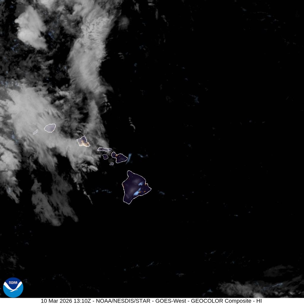
Kona lows refer to strong, low-pressure systems that bring stormy weather to Hawaiʻi and are responsible for most extreme weather during the winter months.
Due to the incoming weather, forecasters have issued a flood watch as well as a special weather statement for Kauaʻi and Niʻihau until 6 a.m. on Saturday.
A flood watch means considerable flash flooding is possible beginning today as the storm develops northwest of the state and draws deep tropical moisture across the islands.
Persistent bands of heavy rain and thunderstorms may produce intense rainfall rates, leading to rapid rises in streams and flooding of roads and low-lying areas.
Significant flooding is expected from the overflow of streams and drainages, and roads in several areas may be closed, along with property damage in urban or low-lying spots due to runoff. Landslides may also occur in areas with steep terrain.
In addition to the heavy rainfall and severe thunderstorm threat, strong and potentially damaging kona winds are possible this week. The possibility of large hail cannot be ruled out, according to the National Weather Service.
Sponsored Content
