

Hawai‘i experienced its second driest year in more than a century.
Alongside drought, the state saw persistently above-average temperatures throughout the year, according to the inaugural Hawai‘i Annual Climate Report for 2025.
Published by the University of Hawai‘i Sea Grant College Program, this first-of-its-kind report uses plain language, along with easy-to-interpret maps and figures, to summarize statewide rainfall, temperature, and drought conditions over the past year.
“Throughout 2025, we heard people across the state talking about just how hot and dry the year felt,” said Ryan Longman, director of the Hawaiʻi Climate Data Portal. “Now we have the data to show what people were experiencing on the ground. We hope this type of reporting helps connect residents to their own lived experiences with Hawaiʻi’s climate and gives communities the information they need to plan for what’s ahead.”
According to the report, 2025 was the second driest year in Hawaiʻi’s 106-year record, with statewide rainfall averaging just 42 inches—about 20 inches below the 30-year average.
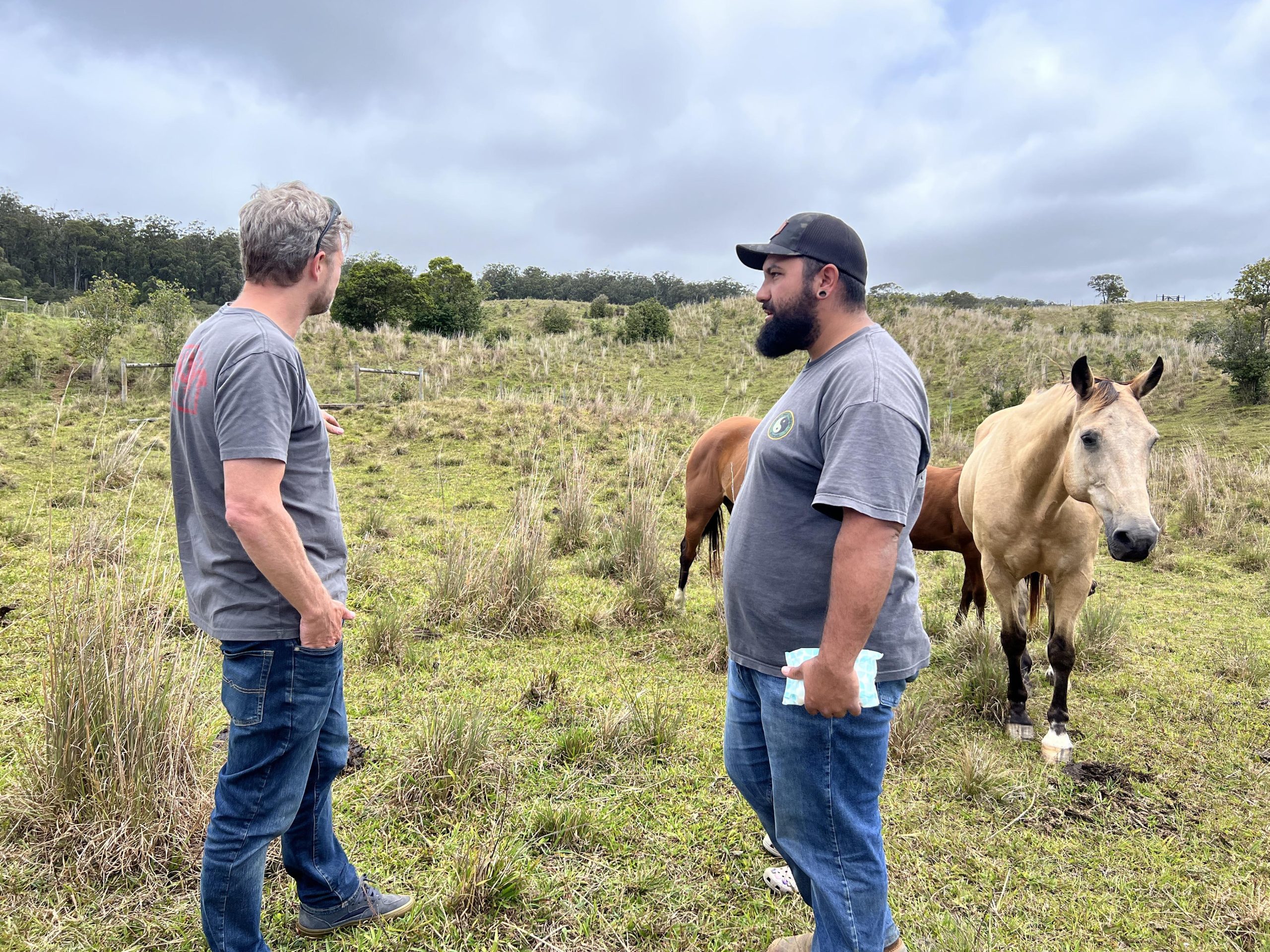
Maui experienced its driest year on record, while Hawaiʻi Island recorded its second driest year.
Rainfall was below average for 11 out of 12 months, and August ranked as the driest August in the past 35 years.
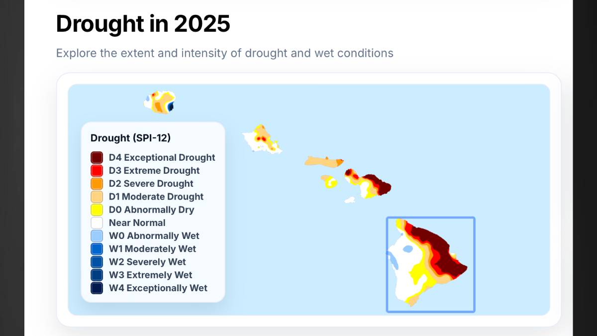
By the end of the year, 65% of the state was classified as abnormally dry or worse, and all of Molokaʻi experienced dry conditions. The most intense drought occurred in February, when 56% of Hawaiʻi was in severe drought or worse, the report indicates.
Statewide, 2025 ranked as the sixth warmest year on record, averaging 0.8°F warmer than normal. For Maui and Kauaʻi, it was the third warmest year since 1990.
The report reflects decades of effort to monitor Hawai‘i’s climate and conduct high-level scientific research, paired with more than eight years of collaboration by a team of climate and data scientists to develop an expanding suite of high-quality climate maps and decision support tools.
Outside of providing data, the report is designed to connect communities, resource managers, and policymakers with the climate data behind what many experienced firsthand, providing essential information to support climate preparedness and long-term planning across the islands, according to a news release from the University of Hawai‘i.
These maps are hosted on the Hawai‘i Climate Data Portal and, for the first time, make it possible to summarize climate conditions consistently across the entire state.
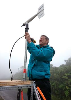
Looking ahead, the establishment of the Hawai‘i Mesonet is expected to further improve the quality and detail of future reports by expanding on-the-ground climate observations. This report marks the first in a new annual series, to be released at the start of each year and refined and expanded over time as Hawai‘i’s climate data and monitoring networks continue to grow.
The report also announced the launch of monthly climate update summaries, expected later this spring, which will send the latest information on rainfall, temperature and drought directly to subscribers’ inboxes, with a focus on the parts of the island chain that matter most to the individual subscribers.
“The goal of the monthly climate summaries is to provide an early signal of emerging rainfall and drought conditions,” said Longman. “By delivering site-specific information at the scales people actually work at, these updates can support more proactive planning and decision-making.”
The report was compiled by the Hawai‘i Climate Data Portal and Hawai‘i Mesonet teams. Funding was provided by the National Science Foundation, the State of Hawai‘i Commission on Water Resource Management, and the U.S. Geological Survey Pacific Islands Climate Adaptation Science Center.
