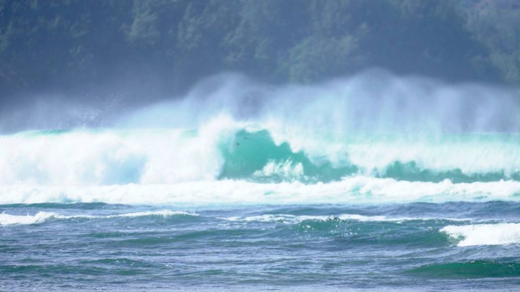
Update at 5:18 a.m. Friday, Jan. 30, 2026: A high surf warning is now in effect until 6 p.m. Saturday (Jan. 31) for north and west shorelines of Kaua‘i and Ni‘ihau.

The warning replaces a high surf advisory that was previously issued for the same shores.
Forecasters at the National Weather Service office in Honolulu continue to report that two significant northwest swells will impact the islands during the next couple of days.
The first moderate to large, long-period swell is already peaking early this morning. The second overlapping, larger, long-period swell, however, will build in today and peak late this afternoon into Saturday before subsiding through the rest of the weekend.
This second swell will push surf heights above warning levels from late today into Saturday for exposed shores.
Forecasters expect surf building to heights in the 20- to 30-foot range by this afternoon for north-facing shores on both islands. Surf is forecast to build into the 20- to 25-foot range also by this afternoon for western shores.
Expect very strong breaking waves and powerful currents along the advisory shorelines. Waves breaking in channel entrances also could make navigating channels dangerous.
The public is advised:
- Stay away from shorelines along the affected coasts.
- Be prepared for road closures.
- Postpone entering or leaving channels affected by the high surf until the surf subsides.
A combination of large surf and higher-than-predicted water levels also will produce flooding of beaches that typically remain dry, especially at and around peak daily tide.
As a result, forecasters in Honolulu issued a coastal flood statement in effect through Monday afternoon.
Story originally posted at 4:47 a.m. Thursday, Jan. 29, 2026: Two significant northwest swells are expected to impact the state during the next several days, originating from a broad and complex low that evolved over the far northwest Pacific throughout the past few days.

A high surf advisory is in effect through 6 p.m. Friday (Jan. 30) for north and west shorelines of Kaua‘i and Ni‘ihau because of the incoming swells.
Forecasters at the National Weather Service office in Honolulu expect the first moderate to large long-period northwest swell to build down the island chain through today (Jan. 29), while an overlapping stronger long-period northwest swell will build in Friday.
This will be a long duration event, with a peak centered around the Friday-through-Saturday time period (Jan. 30-31).
The rising swell is forecast to swiftly exceed warning levels from late Friday through Saturday for Kaua‘i and Ni‘ihau. Forecasters also advise the public to expect the high surf advisory to expand in coverage by Friday to the islands of Molokaʻi, Maui and west-facing shores of the Big Island.
North-facing shores of Kaua‘i and Ni‘ihau will see large breaking waves rising to 10 to 16 feet today, building into the 15 to 25 foot range by Friday. Meanwhile, west shorelines will experience large breaking waves rising to 8 to 12 feet today, building into the 12 to 20 foot range by Friday.
Strong breaking waves and strong currents will make swimming and other ocean activities dangerous along the shorelines in the advisory areas.
Forecasters advise the public to heed all advice from ocean safety officials. Remember: when in doubt, don’t go out.


