

High surf advisory in effect through Friday for portions of Kaua‘i, Ni‘ihau
Two significant northwest swells are expected to impact the state during the next several days, originating from a broad and complex low that evolved over the far northwest Pacific throughout the past few days.
A high surf advisory is in effect through 6 p.m. Friday (Jan. 30) for north and west shorelines of Kaua‘i and Ni‘ihau because of the incoming swells.
Forecasters at the National Weather Service office in Honolulu expect the first moderate to large long-period northwest swell to build down the island chain through today (Jan. 29), while an overlapping stronger long-period northwest swell will build in Friday.
This will be a long duration event, with a peak centered around the Friday-through-Saturday time period (Jan. 30-31).
The rising swell is forecast to swiftly exceed warning levels from late Friday through Saturday for Kaua‘i and Ni‘ihau. Forecasters also advise the public to expect the high surf advisory to expand in coverage by Friday to the islands of Molokaʻi, Maui and west-facing shores of the Big Island.
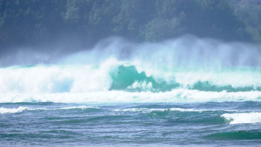
North-facing shores of Kaua‘i and Ni‘ihau will see large breaking waves rising to 10 to 16 feet today, building into the 15 to 25 foot range by Friday. Meanwhile, west shorelines will experience large breaking waves rising to 8 to 12 feet today, building into the 12 to 20 foot range by Friday.
Strong breaking waves and strong currents will make swimming and other ocean activities dangerous along the shorelines in the advisory areas.
Forecasters advise the public to heed all advice from ocean safety officials. Remember: when in doubt, don’t go out.
Sponsored Content
