

The National Weather Service reported a below-average, dry November across the island.
Although Kauaʻi experienced a couple of days of islandwide heavy rainfall during the first half of the month, it was not enough to keep island totals from coming in largely below average again and even drier overall than in October.
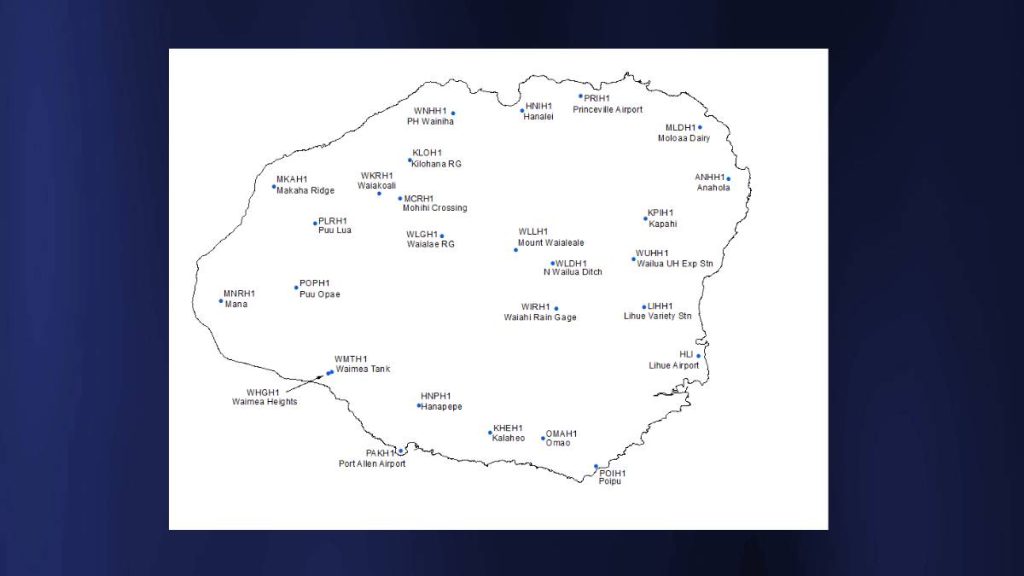
The gauges at Hanapēpē (since 1993) and Waimea Heights (since 2010) recorded their driest November. Port Allen came within 0.01 inches of tying its driest November since 2004.
Despite the dryness, the most notable rainfall in the state occurred on the northern coast of Kauaʻi on Nov. 2, which led to flood advisories as rates reached 1 to 2 inches per hour for a large portion of the day.
The National Weather Service Hanalei gauge measured around 10 inches in eight hours (11.2 inches in 24 hours), but the area, surprisingly, experienced no significant impact.
The exception to the dryness was the northern coastal areas and central higher elevations, which came in near to above average, including the NWS gauge at Hanalei with 188% of their November average rainfall.
The U.S. Geological Survey gauge on Mount Waiʻaleʻale had the highest monthly total for the island at 32.08 inches.
The somewhat drier month brought the year-to-date percentages of average down a few points for November, though the higher elevations and northern coast remain near to above average for the year so far. The Mount Waiʻaleʻale gauge still holds the highest year-to-date total for the island and statewide with 288.18 inches, holding at 79% of average.
Across the state, the month opened with dry and breezy conditions, though winds weakened and shifted slightly east-southeast as a front approached from the northwest. An upper low near the islands helped enhance windward and mountainous showers through the first weekend.
A quieter stretch followed for the next few days as moderate to locally breezy trades returned and conditions dried out. Only minimal windward showers developed, while a departing upper low spread high clouds over the state, according to the NWS.
A cold front brought a more significant rainfall event on the 8th and 9th. Shallow moisture and low-level northeasterly flow favored windward and mountainous areas for rainfall, where two-day totals commonly reached 1 to 3 inches.
Typical breezy to locally strong trades dominated Nov. 10 through Nov. 14, with lingering post-frontal moisture sustaining frequent windward showers. Maui County and the Big Island saw repeated daily rainfall totals of 1 to 3 inches, while Puʻu Kukui on Maui recorded isolated maxima over 7 inches on Nov. 12 and 13.
The middle of the month turned noticeably drier as moderate trades prevailed from Nov. 15 to 17. A more humid and unsettled pattern returned from Nov. 18 to 20 when an upper low southwest of the islands pulled deep tropical moisture northward.
With precipitable water values near 2 inches, enhanced showers developed mainly across the eastern half of the state. Breezy to locally windy trades focused the heaviest rainfall along windward slopes of Maui and the Big Island, where 24-hour totals generally reached 1 to 3 inches.
Conditions dried out and stabilized to close out the month, resulting in reduced shower activity with rainfall largely confined to scattered windward and mountainous showers and otherwise quiet conditions. Trades also eased from moderate-breezy to light-moderate and shifted more out of the east-southeast as fronts passed north of the islands.
