

Forecasters with the National Weather Service office in Honolulu advise the public that dry and windy conditions will develop during Friday and Saturday as high pressure moves east, pushing north of the island chain.
This will increase the local pressure gradient and coincide with a pocket of drier air moving into the region, likely producing critical fire weather conditions — windy with low relative humidity — throughout most central and leeward areas of the state.
A fire weather watch will be in effect from Friday morning (Oct. 24) through Saturday afternoon (Oct. 25) for leeward and southern portions of Kaua‘i and all of Ni‘ihau.
While the watch is from Friday morning through Saturday afternoon, forecasters say the main fire weather concerns will be late morning through the afternoon each day, when relative humidity is at its lowest.
Winds are forecast to blow at a sustained 15 to 25 mph from the east, with gusts up to 35 mph and a relative humidity level between as 40% to 45%.
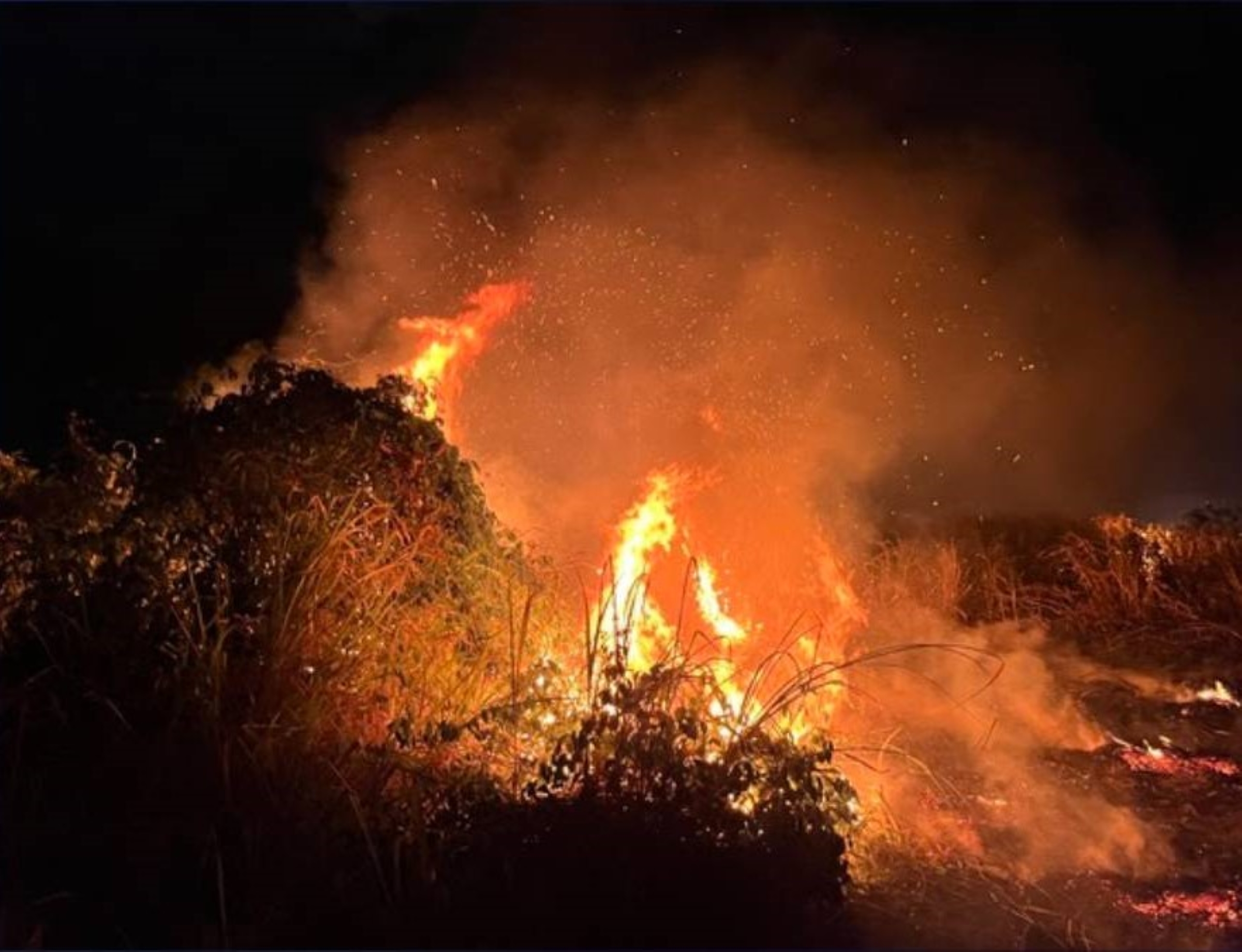
Any fires that develop will likely spread rapidly. Outdoor burning is not recommended.
A fire weather watch means critical fire weather conditions are forecast to occur. Listen for later forecasts and possible red flag warnings.
Visit the Hawai‘i Wildfire Management Organization website to learn about what actions you can take to protect yourself, your life and your property if and when an emergency strikes.
