

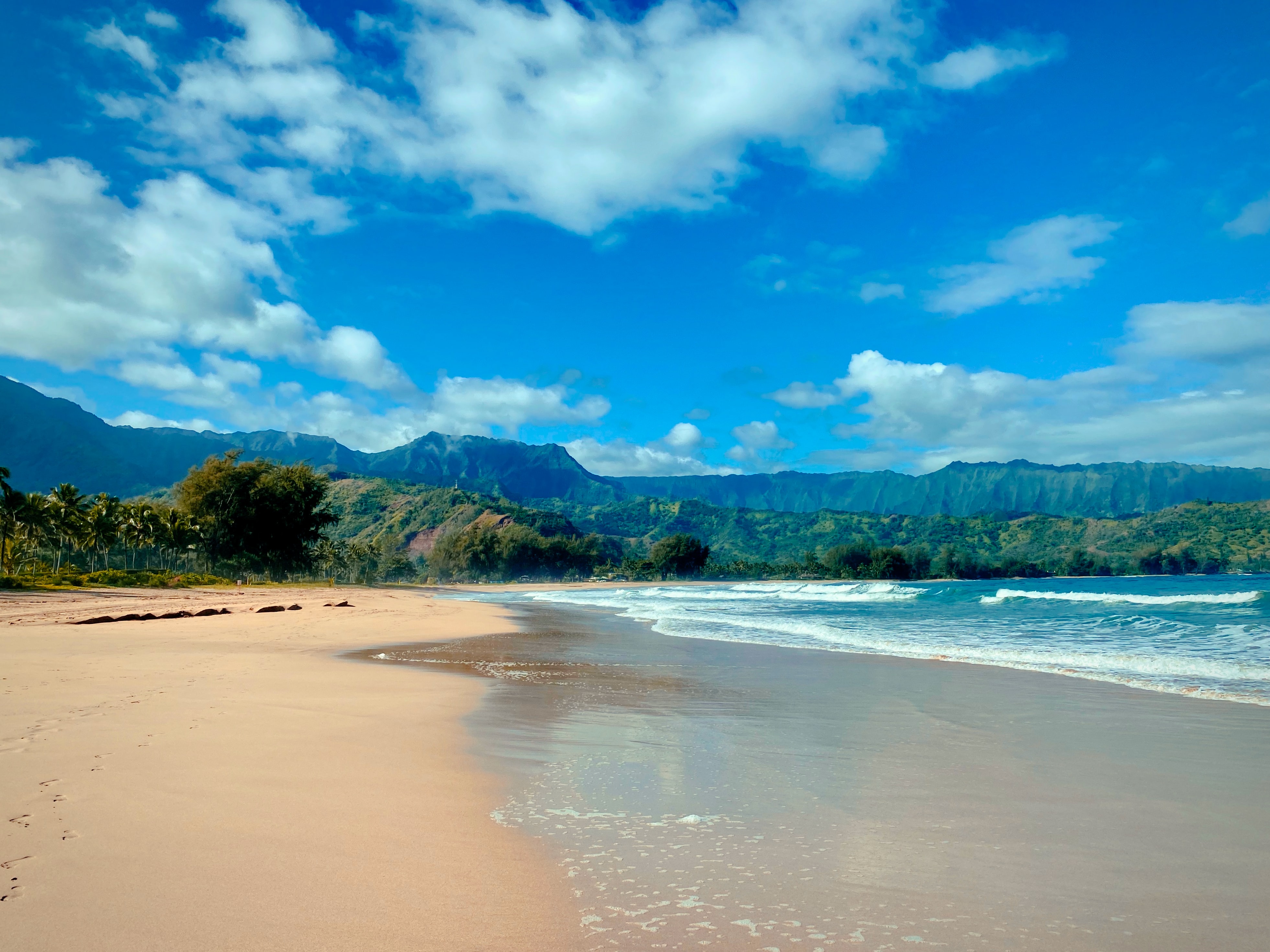
Photo Credit: Jason Weingardt
West Kaua’i
Today: Mostly sunny with isolated showers. Highs 76 to 83 near the shore to around 68 above 3000 feet. North winds up to 10 mph shifting to the southwest in the afternoon. Chance of rain 20 percent.
Tonight: Mostly clear. Lows around 65 near the shore to around 55 above 3000 feet. Light winds becoming northeast up to 10 mph after midnight.
Friday: Sunny. Highs 78 to 84 near the shore to around 71 above 3000 feet. Northeast winds up to 15 mph shifting to the southeast in the afternoon.
South Kaua’i
Today: Mostly sunny. Isolated showers in the afternoon. Highs 75 to 82. Northeast winds 10 to 15 mph. Chance of rain 20 percent.
Tonight: Partly cloudy. Lows around 66. Northeast winds around 10 mph.
Friday: Mostly sunny. Highs 76 to 83. East winds 10 to 15 mph.
Kaua’i Mountains
Today: Mostly sunny with isolated showers in the morning, then partly sunny with scattered showers in the afternoon. Highs 69 to 76 in the valleys to around 61 above 4000 feet. Light winds. Chance of rain 40 percent.
Tonight: Partly cloudy. Isolated showers in the evening. Lows 55 to 65 in the valleys to around 53 above 4000 feet. Light winds becoming east up to 10 mph after midnight. Chance of rain 20 percent.
Friday: Mostly sunny with isolated showers. Highs 72 to 78 in the valleys to around 63 above 4000 feet. East winds up to 15 mph. Chance of rain 20 percent.
North Kaua’i
Today: Mostly sunny. Isolated showers in the afternoon. Highs 70 to 78. East winds up to 10 mph. Chance of rain 20 percent.
Tonight: Partly cloudy. Isolated showers in the evening. Lows 58 to 66. Southeast winds up to 10 mph. Chance of rain 20 percent.
Friday: Mostly sunny. Highs 73 to 81. Southeast winds up to 15 mph.
East Kaua’i
Today: Mostly sunny. Scattered showers in the afternoon. Highs 69 to 80. Northeast winds up to 10 mph. Chance of rain 40 percent.
Tonight: Partly cloudy. Isolated showers in the evening. Lows 58 to 69. Light winds becoming northeast up to 10 mph after midnight. Chance of rain 20 percent.
Friday: Mostly sunny. Highs 71 to 81. East winds up to 15 mph increasing to 10 to 15 mph in the afternoon.
Detailed Forecast
Synopsis
A disturbance moving across the area will bring an increase in showers through tonight. The focus of these showers will likely be over interior and leeward areas during the afternoon and windward areas at night. Light winds will continue today, with moderate trade winds returning Friday. A drier air mass will move in Friday afternoon, with fair weather conditions expected through early next week.
Discussion
Satellite and radar imagery early this morning continue to show a band of showers along a boundary over the Alenuihaha Channel. The land breezes that developed overnight are helping to keep showers offshore, but an area of enhanced moisture over the eastern half of the state will allow some of these showers to impact windward Maui and the Big Island, with isolated showers possible along windward and mauka areas of the remaining islands. Light winds across the area today will allow sea breezes to redevelop this afternoon which will lead to another round of afternoon clouds and showers over interior and leeward areas. Guidance continues to show the tail-end of a shortwave trough lingering around the region which will help to enhance some shower activity across mainly Maui and the Big Island. This trough will also help to enhance summit winds on the Big Island today, with low-end wind advisory winds expected through this afternoon. As the trough exits the region tonight expect land breezes to develop.
Starting Friday, a weak upper level ridge will build overhead and a surface high will build northeast of the state. A ridge extending from the parent high will fluctuate just north of the state into early next week. With the ridge staying just north of the state we should see stable conditions with light to moderate trades. For the western half of the state, the winds will be lighter with winds out of the east to east-southeast direction. Due to the lighter winds, we could see sea breezes develop over the interior and leeward areas. Over the eastern half of the state we should see our typical trade wind pattern. Overall, stable with mostly dry conditions are expected this weekend into early next week.
Guidance then shows a front stalling far northwest of the state towards the middle of next week, with moisture from the front getting absorbed by a developing low near the dateline. As this low moves northeastward it looks like the tail-end of a front may impact the state late next week.
Aviation
Light to moderate east-northeast trades are expected today, although they should be light enough for some localized sea breezes to develop in the more sheltered areas. An area of enhanced moisture will keep some showers and MVFR cigs/vsbys around windward sections of mainly the Big Island this morning, with fewer showers over windward areas of the smaller isles. A few showers will be possible over the island interiors this afternoon, before fizzling quickly this evening. Shower activity will favor windward slopes and coasts tonight, although it should be rather sparse with mostly VFR conditions prevailing.
AIRMET Sierra remains in effect for mountain obscuration for windward sections of the Big Island. Conditions will likely be slow to improve through the day.
Marine
A weak surface ridge stretched over waters just north of Kauai will support light and variable winds as it remains nearly stationary through Thursday. The ridge will move north and strengthen from Friday into the weekend, supporting moderate to locally fresh trade winds that will favor an E-ESE direction.
The current medium period (12-14 seconds) NE (040) swell is expected to remain near its peak through this afternoon, then gradually decline through Saturday. A High Surf Advisory (HSA) for east facing shores remains in effect, but will likely be canceled late this afternoon.
A pair of long-period NW swells are poised to generate high surf along exposed north and west facing shores over the weekend and into the coming week. The first is expected to build in this evening and peak early Friday. A similarly- sized (or slightly smaller) NW swell is expected from late Saturday into Monday. Either of these swell events could necessitate the issuance of a High Surf Advisory. A sustained WNW swell is expected from late Tuesday into Thursday of the coming week.
For those zones exposed to the NW swell, combined seas are expected to exceed above Small Craft Advisory (SCA) criteria beginning late tonight. Conditions are expected to persist through through Friday evening and possibly beyond. Additionally, an SCA for winds may be needed around Maui and the Big Island this weekend if east winds rise above SCA speeds in response to the strengthening ridge.
HFO Watches/Warnings/Advisories
High Surf Advisory until 6 PM HST this evening for Olomana, Kauai North, Kauai East, East Honolulu, Koolau Windward, Molokai Windward, Molokai Southeast, Windward Haleakala, Kipahulu, Big Island East, Big Island North.
Wind Advisory until 6 PM HST this evening for Big Island Summits.
Kauai Now Weather is brought to you by Blue Hawaiian Helicopters.
Data Courtesy of NOAA.gov
