

Photo Credit: Braden Jarvis
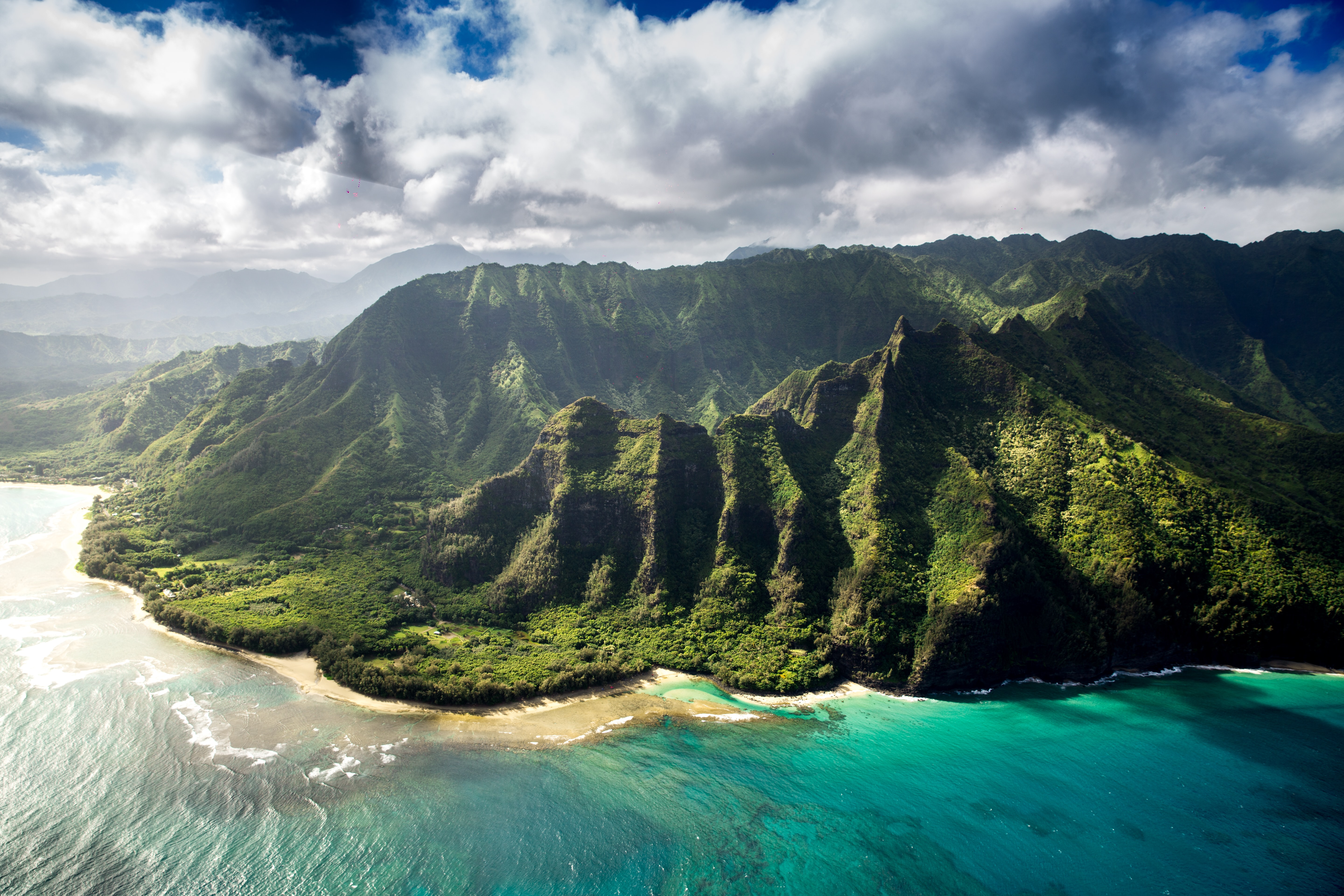
West Kaua’i
Today: Mostly sunny. Isolated showers in the afternoon. Highs 75 to 82 near the shore to around 68 above 3000 feet. Light winds. Chance of rain 20 percent.
Tonight: Partly cloudy. Lows 61 to 66 near the shore to around 54 above 3000 feet. Light winds.
Thursday: Mostly sunny. Isolated showers in the afternoon. Highs 76 to 83 near the shore to around 69 above 3000 feet. Light winds. Chance of rain 20 percent.
South Kaua’i
Today: Mostly sunny. Highs 75 to 82. East winds up to 10 mph.
Tonight: Partly cloudy. Isolated showers after midnight. Lows around 64. North winds up to 10 mph. Chance of rain 20 percent.
Thursday: Mostly sunny. Highs 75 to 82. Light winds becoming east up to 10 mph in the afternoon.
Kaua’i Mountains
Today: Mostly sunny in the morning then becoming partly sunny. Isolated showers. Highs 68 to 75 in the valleys to around 60 above 4000 feet. Light winds. Chance of rain 20 percent.
Tonight: Mostly cloudy in the evening then becoming partly cloudy. Isolated showers. Lows 54 to 63 in the valleys to around 51 above 4000 feet. Light winds. Chance of rain 20 percent.
Thursday: Mostly sunny in the morning then becoming partly sunny. Isolated showers. Highs 69 to 76 in the valleys to around 61 above 4000 feet. Light winds. Chance of rain 20 percent.
North Kaua’i
Today: Mostly sunny in the morning then becoming partly sunny. Isolated showers. Highs 70 to 78. Southeast winds up to 10 mph shifting to the northeast in the afternoon. Chance of rain 20 percent.
Tonight: Partly cloudy. Isolated showers after midnight. Lows 57 to 64. Light winds. Chance of rain 20 percent.
Thursday: Mostly sunny. Highs 71 to 78. Light winds becoming northeast up to 10 mph in the afternoon.
East Kaua’i
Today: Mostly sunny in the morning then becoming partly sunny. Isolated showers. Highs 68 to 80. East winds up to 10 mph. Chance of rain 20 percent.
Tonight: Mostly cloudy in the evening, then partly cloudy with isolated showers after midnight. Lows 57 to 67. Light winds. Chance of rain 20 percent.
Thursday: Mostly sunny. Isolated showers in the afternoon. Highs 69 to 81. Light winds becoming northeast around 10 mph in the afternoon. Chance of rain 20 percent.
Detailed Forecast
Synopsis
Scattered showers will mainly focus along windward and mauka areas as northeast winds veer easterly and weaken tonight through Thursday, especially east of Kauai where a pool of moisture will linger. Light easterly flow will allow for seabreezes to develop in the afternoon allowing for clouds and showers to build over sheltered leeward and interior areas each afternoon through Thursday. Land breezes will develop overnight clearing clouds and showers. Moderate trades with fair weather conditions will return Friday into the weekend.
Discussion
Latest satellite imagery shows an broad area of shallow cumulus clouds moving into parts of Oahu, Maui County and the Big Island, with clear skies over Kauai. Radar shows numerous showers embedded in this cloud field focusing mainly light showers along windward and mauka areas of Oahu embedded in a northeasterly flow with showers becoming more scattered east of this area. A slight increase in intensity and coverage is expected this evening due to cloud top cooling overnight and a broad mid level trough continuing to erode low to mid level ridging. Latest High Resolution Ensemble Forecast (HREF) remains on track, showing the greatest shower coverage around Maui County and parts of windward Big Island tonight as the northeast flow pushes this area of moisture southwestward.
On Wednesday, a ridge of high pressure will approach the state from the north and will cause the winds to veer more easterly and weaken. Light trade winds will likely be overpowered by the developing sea breezes during the middle of the day, which should allow for afternoon clouds and some scattered showers to develop in sheltered leeward and interior areas. Chances of showers will be greatest east of Kauai due to a pool of lingering moisture. Another upper level short- wave trough approaching the state late Wednesday, could enhance some of the showers Wednesday evening into Thursday over Maui County and the Big Island. This short-wave trough looks a little stronger and is carrying a little more moisture in the upper levels than the current trough. Expect inversion heights to have a better chance of eroding allowing for more vertical development of clouds with light to locally moderate rainfall rates Wednesday evening into Thursday.
Starting Friday, an upper level ridge will build overhead and a surface high will build northeast of the state. This should allow for stable trade wind weather to return and push any remaining moisture west of the state. Overall, it looks like a dry trade wind pattern Friday through Saturday, with a slight increase of passing showers possible on Sunday.
Latest USGS report the Kilauea eruption has paused but volcanic gas emissions may continue to impact nearby communities. With winds expected to decrease tonight into Wednesday, any lingering haze may spread around the Big Island. Chances of haze spreading to Maui Wednesday into Thursday is a little uncertain but will continue to monitor. Trades should return Friday into the weekend pushing and remaining haze offshore.
Aviation
Light to moderate north-northeast trades will ease overnight, with land breezes developing in some of the more sheltered areas. Winds will become light statewide on Wednesday, allowing sea breezes to develop in most areas. An area of enhanced moisture will keep some showers and MVFR cigs/vsbys moving into windward areas tonight and Wednesday morning, with improving conditions expected in most areas by early afternoon.
AIRMET Sierra remains in effect for mountain obscuration for windward sections of Oahu and Big Island. This AIRMET will likely be expanded to include Molokai and Maui later tonight.
AIRMET Tango remains in effect for moderate upper level turb across Maui County and the Big Island between FL200 and FL240. SIGMET Xray covers an area of severe turb occurring across the entire island chain between FL240 and FL360. Conditions will gradually improve from west to east tonight, with the moderate or greater turb area expected to shift east of the islands around noon Wednesday.
Marine
Winds will gradually veer to the east and weaken into the gentle to locally moderate range tonight through Thursday as a high pressure system approaches the state. The ridge will lift northward Friday through the weekend, which increase trade winds back to moderate to locally strong Saturday afternoon through the forecast period. A Small Craft Advisory for winds will be likely for the windier waters and channels around Maui County and the Big Island by Sunday.
Overlapping northeast and northwest swells will continue to impact the state tonight. The High Surf Advisory for exposed north and east facing shores, as well the Small Craft Advisory in exposed coastal water zones and the Marine Weather Statement for Kahului and Hilo harbor surges have all been extended through the night given buoy observations, with these highlights likely dropping by morning. The northeast swell will slowly drop off Wednesday, but a reinforcing northeast swell is expected around Thursday, which could elevate surf along east facing shores near advisory thresholds. A long period northwest swell is expected to fill in late Thursday and peak on Friday near High Surf Advisory thresholds.
Surf along east facing shores should continue to see moderate surf with the swell. Surf along south facing shores will remain tiny through the forecast period with mainly background energy.
HFO Watches/Warnings/Advisories
High Surf Advisory until 6 AM HST Wednesday for Niihau, Oahu North Shore, Olomana, Maui Windward West, Kauai North, Kauai East, East Honolulu, Koolau Windward, Molokai Windward, Molokai Southeast, Molokai North, Maui Central Valley North, Windward Haleakala, Kipahulu, Big Island East, Big Island North.
Small Craft Advisory until 6 AM HST Wednesday for Kauai Northwest Waters, Kauai Windward Waters, Kauai Leeward Waters, Kauai Channel, Oahu Windward Waters, Kaiwi Channel, Maui County Windward Waters, Alenuihaha Channel, Big Island Windward Waters.
Kauai Now Weather is brought to you by Blue Hawaiian Helicopters.
Data Courtesy of NOAA.gov
