

Kauai Weather Forecast for January 25, 2025
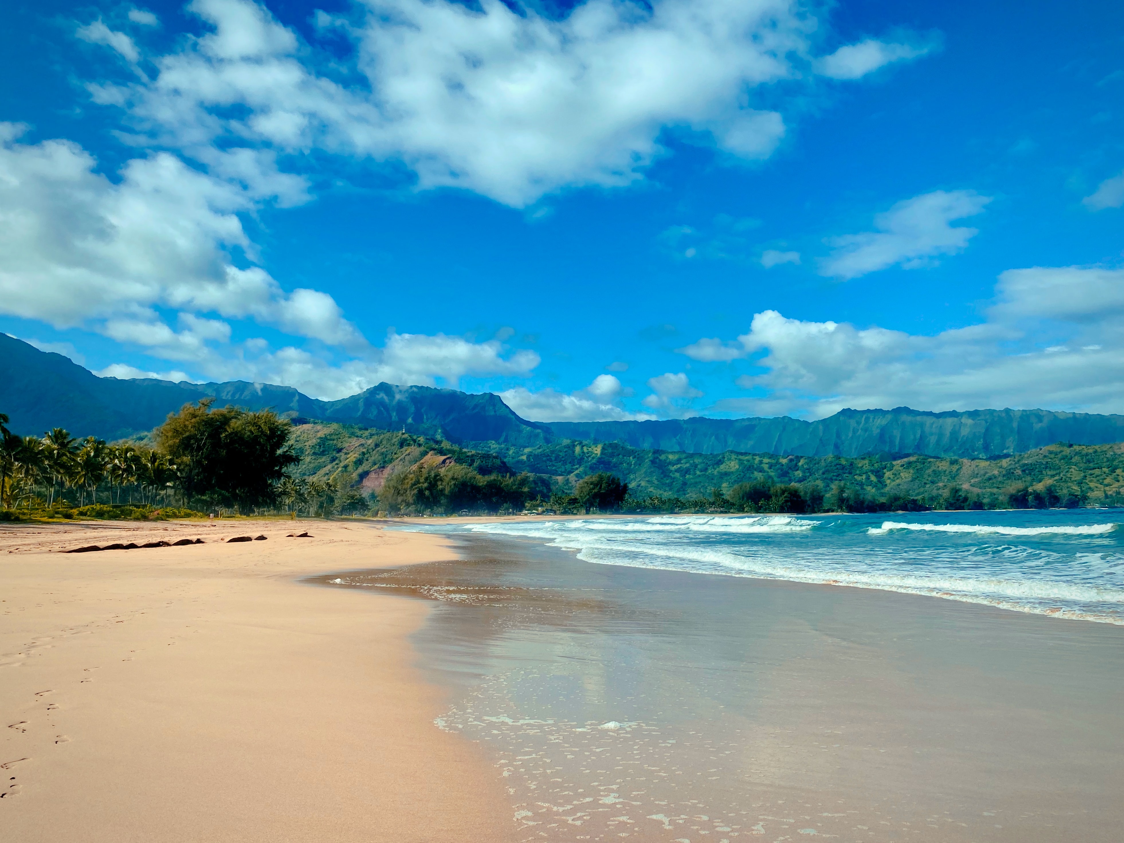
Photo Credit: Jason Weingardt
West Kaua’i
Today: Mostly sunny. Isolated showers in the afternoon. Highs 78 to 85 near the shore to around 70 above 3000 feet. Light winds. Chance of rain 20 percent.
Tonight: Partly cloudy with isolated showers. Lows 63 to 68 near the shore to around 56 above 3000 feet. Light winds. Chance of rain 20 percent.
Sunday: Mostly sunny with isolated showers in the morning, then mostly cloudy with scattered showers in the afternoon. Highs 78 to 84 near the shore to around 69 above 3000 feet. Light winds becoming north up to 15 mph in the afternoon. Chance of rain 50 percent.
South Kaua’i
Today: Mostly sunny with isolated showers. Highs 77 to 84. Northeast winds 10 to 15 mph. Chance of rain 20 percent.
Tonight: Partly cloudy. Isolated showers in the evening, then scattered showers after midnight. Lows around 67. Northeast winds 10 to 15 mph. Chance of rain 30 percent.
Sunday: Partly sunny with scattered showers. Highs 76 to 83. Northeast winds 10 to 15 mph. Chance of rain 50 percent.
Kaua’i Mountains
Today: Mostly sunny. Scattered showers in the morning, then isolated showers in the afternoon. Highs 73 to 78 in the valleys to around 63 above 4000 feet. Light winds. Chance of rain 40 percent.
Tonight: Partly cloudy with isolated showers in the evening, then mostly cloudy with scattered showers after midnight. Lows 58 to 65 in the valleys to around 54 above 4000 feet. Light winds. Chance of rain 30 percent.
Sunday: Partly sunny with scattered showers in the morning, then cloudy with numerous showers in the afternoon. Highs 71 to 77 in the valleys to around 61 above 4000 feet. Light winds becoming northeast up to 15 mph in the afternoon. Chance of rain 70 percent.
North Kaua’i
Today: Mostly sunny with isolated showers. Highs 73 to 80. East winds up to 10 mph. Chance of rain 20 percent.
Tonight: Partly cloudy with isolated showers in the evening, then mostly cloudy with scattered showers after midnight. Lows 60 to 67. East winds up to 10 mph in the evening becoming light. Chance of rain 30 percent.
Sunday: Partly sunny. Scattered showers in the morning, then numerous showers in the afternoon. Highs 72 to 80. East winds up to 15 mph shifting to the northeast in the afternoon. Chance of rain 70 percent.
East Kaua’i
Today: Mostly sunny. Scattered showers in the morning, then isolated showers in the afternoon. Highs 71 to 82. Northeast winds up to 10 mph. Chance of rain 40 percent.
Tonight: Partly cloudy with isolated showers in the evening, then mostly cloudy with scattered showers after midnight. Lows 61 to 70. North winds up to 10 mph. Chance of rain 30 percent.
Sunday: Partly sunny. Scattered showers in the morning, then numerous showers in the afternoon. Highs 70 to 81. North winds 10 to 15 mph. Chance of rain 70 percent.
Detailed Forecast
Synopsis
A low pressure system far north of the Hawaiian Islands is dragging a low level boundary over the eastern islands this morning. Chances for another round of showers and isolated thunderstorms are possible over north and east slopes of the Big Island this afternoon. This low level boundary will weaken and lift northwestward ahead of the next shallow cold front due to move through the island chain from Monday into Tuesday. Moderate to breezy trade wind will fill in as the front passes through each island. A very wet weather pattern with kona winds may develop by next week Thursday.
Discussion
The tail end of a low level trough will linger near the eastern slopes of the Big Island today enhancing some afternoon showers with the potential for another round of isolated thunderstorms with brief heavy rainfall from Laupahoehoe to Hilo to Puna. This boundary near the Big Island will weaken and slowly lift northwestward over the next two days. Heavy rainfall over the north and east slopes of the Big Island last night produced between 2 and 4 inches of rainfall based on a combination of radar rainfall estimates and rain gauge observations. No significant flooding, As of 4 AM HST this morning, was reported by local Big Island officials.
Looking into the near future, we see periods of wet weather shaping up across the Hawaii region through Tuesday. A combination of two low level boundaries, a trough near the Big Island and an approaching cold front, combine forces with an upper level disturbance to enhance showers across the state. Light to moderate trade winds will continue as a shallow front passes through the islands from Monday into Tuesday. Shower activity will favor north and east slopes of each island, and all areas along the passing frontal cloud band. Cool northerly winds will move in along and behind this front as it passes through each island. This frontal boundary will diminish into a trough and stall near the Big Island and Maui from late Tuesday into Wednesday, and then slowly lift northward as more unstable southerly kona winds begin to develop.
By next week Thursday, the weather pattern changes significantly with kona winds developing over the islands as a cut off low moves into the region. Heavy rainfall and thunderstorms impacts are possible from Thursday into Friday as this system passes quickly through the region. Model solutions are still trying to settle on the track and intensity of this next potentially impactful rainfall event. Island by island impacts will depend heavily on the track and intensity of next weeks system. Thunderstorms and periods of heavy rain for some islands should be expected. Flooding threats are possible as some heavy rain bands or thunderstorms may train over one or two islands. Stay tuned for more details as the forecast time period grows shorter and the forecast guidance tunes into this potential kona low weather event.
Aviation
Light to locally moderate trade winds will steer bands of clouds and light showers off the Pacific towards windward slopes and coasts. Showers this morning will be most active along east facing slopes of the Big Island and Maui, but will spread across windward Molokai and Oahu later today.
The airmass over the state remains unstable. Daytime heating is expected to drive widespread afternoon convection, especially over the eastern end of the state. Most recent satellite and radar imagery indicates moderate to heavy showers lingering just off the east coast of the Big Island. These showers should taper off in the next few hours. Heavy showers or thunderstorms will likely redevelop over Interior and Windward portions of the Big Island this afternoon.
AIRMET Sierra remains posted for mountain obscuration across east facing slopes of both the Big Island and Maui. Sierra will likely be canceled by mid-morning, but conditions could redevelop later in the day.
Marine
Light to moderate northeast to east winds will persist into Sunday as a weak surface ridge lifts north of the state. Pockets of fresh breezes may develop over the typically windier waters and channels from Maui County to the Big Island during this time. Moderate to fresh north to northeast winds are expected to return over the western half of the state late Sunday through Monday, then extend statewide from Tuesday through Wednesday as another front moves into the area.
Surf along shores exposed to northerly swells will gradually lower through the weekend as a north-northwest swell eases. Offshore buoys to the north and northwest confirm this downward trend, showing a wide range of short- to medium-period north- northwest energy. As a result, the surf has fallen below the advisory level overnight and will dip below average from Sunday through Monday.
With a blocking high persisting over the northwest Pacific, the primary swell source will remain out of the north next week, featuring a mix of short-period wind waves associated with the northerly winds expected locally and medium-period northerly swells. Forecast guidance indicates an upward trend in surf beginning Tuesday and continuing into late next week due to a potential gale forming well to the north. Heights could near or reach the advisory level around Wednesday, if this scenario evolves.
Surf along east-facing shores, not exposed to northerly swells, will remain small each day due to the lack of trades locally and upstream.
Surf along south-facing shores will remain around the seasonal average, with mainly a mix of short-period southeast and an occasional background south swell moving through.
Fire weather
Wind speeds will remain below critical fire weather thresholds through the middle of next week. Moisture levels rise swiftly from Thursday onward with southerly winds bringing another round of widespread rainfall in the forecast for all islands.
HFO Watches/Warnings/Advisories
None.
Kauai Now Weather is brought to you by Blue Hawaiian Helicopters.
Data Courtesy of NOAA.gov
Sponsored Content
