

Photo Credit: Braden Jarvis
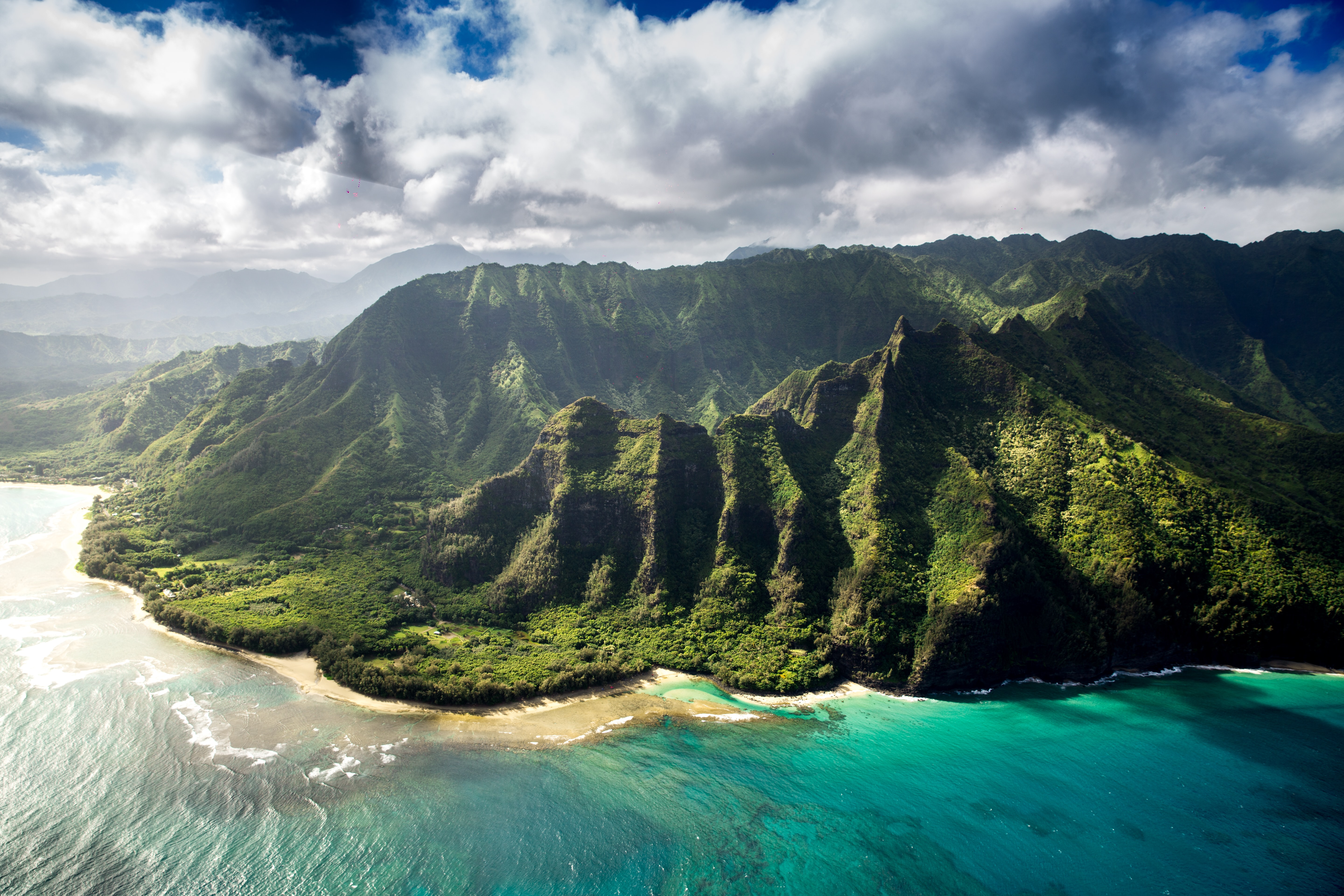
West Kaua’i
Today: Sunny. Haze through the day. Isolated showers in the afternoon. Highs 78 to 87 near the shore to around 73 above 3000 feet. North winds up to 10 mph shifting to the southeast in the afternoon. Chance of rain 20 percent.
Tonight: Mostly clear. Haze in the evening. Lows 64 to 69 near the shore to around 57 above 3000 feet. Light winds becoming northeast up to 10 mph after midnight.
Saturday: Mostly sunny. Scattered showers in the morning, then isolated showers in the afternoon. Highs 78 to 86 near the shore to around 71 above 3000 feet. Northeast winds up to 15 mph. Chance of rain 50 percent.
South Kaua’i
Today: Sunny and haze. Highs 79 to 86. Light winds.
Tonight: Mostly clear. Haze in the evening. Lows around 67. North winds up to 10 mph increasing to 10 to 15 mph after midnight.
Saturday: Breezy. Partly sunny with scattered showers. Highs 76 to 84. Northeast winds 10 to 20 mph increasing to 20 to 25 mph in the afternoon. Chance of rain 50 percent.
Kaua’i Mountains
Today: Sunny. Haze through the day. Isolated showers in the afternoon. Highs 72 to 79 in the valleys to around 65 above 4000 feet. North winds up to 10 mph. Chance of rain 20 percent.
Tonight: Partly cloudy. Haze in the evening. Scattered showers after midnight. Lows 58 to 66 in the valleys to around 55 above 4000 feet. Northeast winds up to 15 mph. Chance of rain 30 percent.
Saturday: Breezy. Mostly cloudy with numerous showers. Highs 69 to 77 in the valleys to around 61 above 4000 feet. Northeast winds up to 15 mph increasing to 10 to 20 mph in the afternoon. Chance of rain 70 percent.
North Kaua’i
Today: Sunny. Haze through the day. Isolated showers in the afternoon. Highs 74 to 82. Northwest winds up to 10 mph. Chance of rain 20 percent.
Tonight: Partly cloudy. Scattered showers after midnight. Lows 60 to 70. Southwest winds up to 10 mph shifting to the south after midnight. Chance of rain 30 percent.
Saturday: Breezy. Partly sunny with numerous showers. Highs 71 to 81. East winds up to 15 mph shifting to the northeast in the afternoon. Chance of rain 70 percent.
East Kaua’i
Today: Sunny and haze. Highs 74 to 85. North winds up to 10 mph.
Tonight: Haze in the evening. Clear in the evening, then partly cloudy with isolated showers after midnight. Lows 61 to 72. North winds up to 10 mph. Chance of rain 20 percent.
Saturday: Mostly cloudy. Breezy. Scattered showers in the morning, then numerous showers in the afternoon. Highs 69 to 81. Northeast winds 10 to 20 mph. Chance of rain 70 percent.
Detailed Forecast
Synopsis
A ridge over the islands will maintain light winds and dry conditions through today. A new ridge building north of the islands this weekend will bring a return of trade winds, while a weakening front and its associated upper level feature will help to enhance trade wind showers this weekend, mainly during the overnight and early morning hours along windward and mountain slopes of each island.
Discussion
A surface ridge remains just north of Kauai with a cold front just to the northwest. This morning sounding at Hilo sounding has a slight increase in moisture from .98 to 1.11 inches where as the Lihue sounding saw a slight decrease in moisture now around .84 from 0.91 inches Thursday afternoon. Inversion heights are around 5.5 to 6.5 kft. This setup is creating a relative dry and stable environment around the state, especially over the western half of the state. Rainfall totals have been minimal through the night if at all. Satellite imagery shows a shallow cloud deck extending along the eastern side of the island chain from the Big Island to just offshore Oahu that is being usher in from the light to gentle east to southeast background flow. Light showers embedded in this cloud bank have been focusing primarily along exposed windward areas around Maui and the Big Island. As the day progress today expect seabreezes to develop shortly after sunrise. This will allow for some clouds to build over leeward and interior areas. Rainfall totals if any are expected to remain minimal.
Gentle northerly winds are expected to bleed out ahead of the front later today, but remain light enough to continue to allow for seabreezes to along sheltered areas. Chances of showers may also increase east of Oahu where this convergence zone is forecast to set up. The main moisture band associated with the front may reach the western half of the state late tonight, increasing chances of precipitation, especially for windward and mauka areas. Trades will continue to shift out of a more northeast direction and gradually strengthen to more moderate levels, becoming locally breezy by Saturday as a high develops north of the state behind the front.
Global models continue to show an upper level trough moving down the island chain late tonight through the weekend along with the moisture band associated with the front. This could make for enhanced trade wind showers. Boosted the windward rainfall totals slightly with this update to reflect this. The GFS remains locked in on the possibility of thunderstorms Sunday and Sunday night, but the latest couple of runs have trended downward in that possibility. The ECMWF and NBM were marginal before and have continued to slowly back off. As such, confidence is low and therefore leaving that out of the forecast at this time, but will continue to monitor. By Sunday night the upper level trough is expected to be east of the Big Island, which should allow a more typical trade wind pattern to set up to end the year and start the new.
A hot spot over Halemaumau Crater on the Big Island continues to be seen on infrared satellite imagery. The University of Hawaii (UH) Vog Model show SO2 emissions reaching the smaller islands through tonight and should be pushed offshore as trades return Saturday.
Aviation
Light winds will allow development of a land/sea breeze regime through this afternoon. Low cigs and SHRA may develop across mauka areas this afternoon, before a front approaching the state late tonight may bring a brief period of northerly winds and ISOL MVFR conds to the western half of the state. However, VFR should prevail. Due to the continuing eruption of Kilauea, leeward portions of the Big Island may see MVFR vsbys due to vog.
No AIRMETs are in effect and none are expected through the forecast period.
Marine
An extra-large west-northwest to northwest (290-315 degrees) swell has remained well above guidance overnight at the offshore buoys northwest of Kauai as it slowly lowers from its earlier peak. Nearshore PacIOOS buoy observations from Hanalei to Pauwela are currently hovering around the peak (as of 2-3 AM HST), and will remain above guidance through the day before gradually easing late this evening through Saturday. This swell has driven surf heights well above warning thresholds for exposed north and west facing shores of the smaller islands and west facing shores of the Big Island. As a result, the High Surf Warning has been extended through early Saturday. The Small Craft Advisory for seas exceeding 10 feet over exposed waters has also been extended through this period. Although confidence remains too low to issue an advisory for the north facing shores of the Big Island due to the more westerly direction of the swell, heights may near these levels today as the swell peaks.
The ongoing series of extra-large northwest swells has worsened erosion issues, with periodic overwash onto low-lying properties and roadways likely during high tide cycles. This swell is forecast to slowly taper off over the weekend but will still bring hazardous conditions to exposed areas. Another upward trend is possible early next week as a couple of smaller northwest swells arrive.
Surf along south and east-facing shores will remain small through early next week, except for south-facing shores exposed to the west-northwest swells today.
A surface ridge just north of the state will continue to produce light winds today, with land and sea breezes developing near the coasts. A front approaching the state will bring a brief period of moderate northerly winds to the western half of the state today. This front is expected to stall and dissipate over the weekend. As a surface ridge builds north of the state in its wake, fresh to strong northeast to east trade winds will return this weekend.
Fire weather
No critical fire weather conditions are expected for the next seven days. Dry weather with light winds are expected through today. Trade winds will return late tonight and Saturday with enhanced shower activity over the weekend. A more typical trade wind pattern is expected Monday onwards.
HFO Watches/Warnings/Advisories
High Surf Warning until 6 AM HST Saturday for north and west facing shores of Niihau Kauai Oahu Molokai north facing shores of Maui and west facing shores of the Big Island.
Small Craft Advisory until 6 AM HST Saturday for all waters.
Kauai Now Weather is brought to you by Blue Hawaiian Helicopters.
Data Courtesy of NOAA.gov
