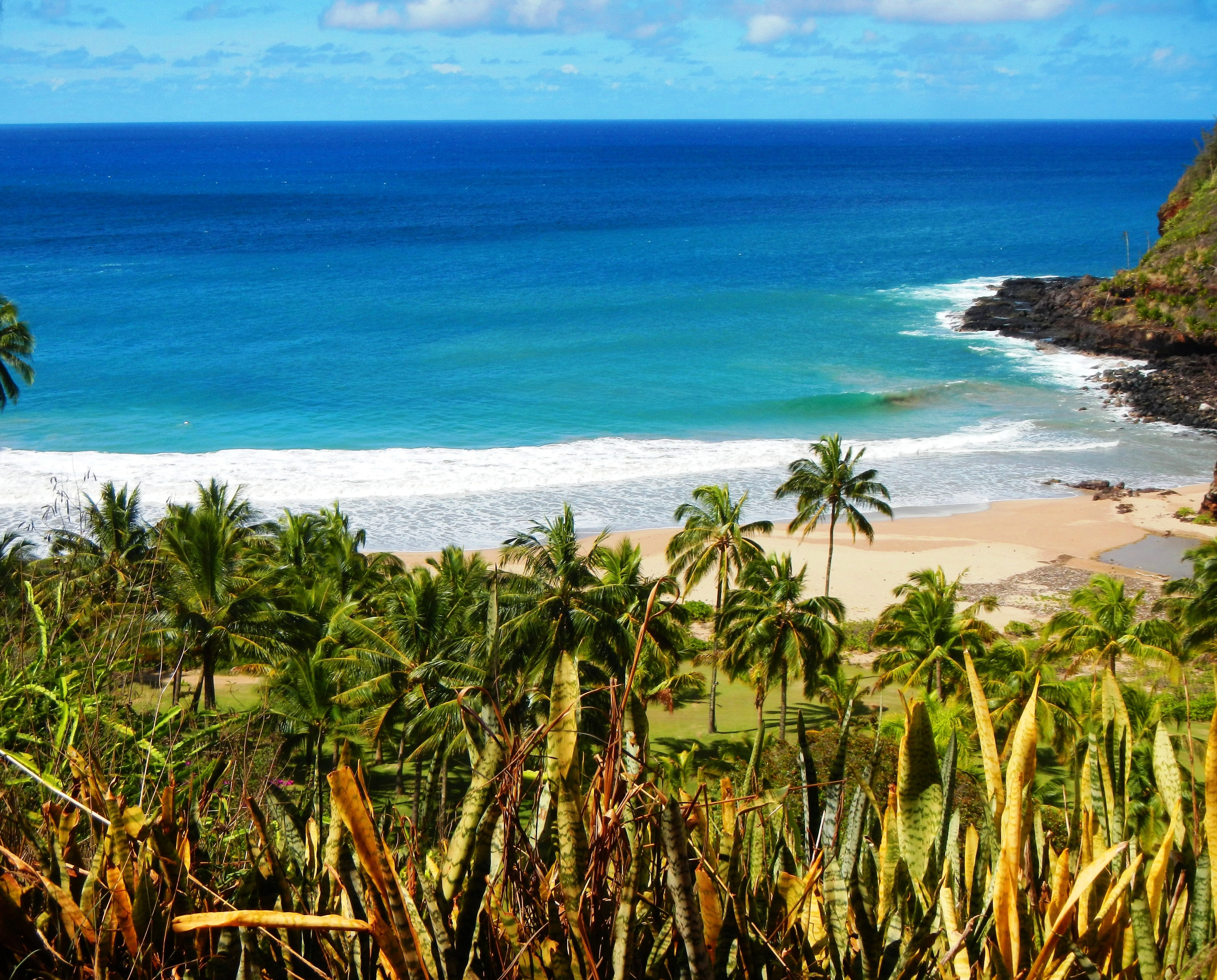
Photo Credit: A Goeller
| Shores |
Today |
Wednesday |
| Surf |
Surf |
| AM |
PM |
AM |
PM |
| North Facing |
5-7 |
8-12 |
18-24 |
18-24 |
| West Facing |
3-5 |
6-8 |
14-18 |
14-18 |
| South Facing |
0-2 |
0-2 |
0-2 |
0-2 |
| East Facing |
1-3 |
1-3 |
1-3 |
1-3 |
TODAY
| Weather |
Sunny until 10 AM, then partly sunny. |
| High Temperature |
In the lower 80s. |
| Winds |
South winds 5 to 10 mph. |
| Tides |
| Hanalei Bay |
Low 0.3 feet 11:46 AM HST. |
| High 0.6 feet 03:40 PM HST. |
| Nawiliwili |
Low 0.4 feet 01:08 PM HST. |
| High 0.5 feet 04:41 PM HST. |
|
| Sunrise |
7:09 AM HST. |
| Sunset |
5:57 PM HST. |
TONIGHT
| Weather |
Partly cloudy. Isolated showers. |
| Low Temperature |
In the upper 60s. |
| Winds |
Southwest winds around 5 mph. |
| Tides |
| Hanalei Bay |
Low -0.1 feet 08:48 PM HST. |
| High 2.3 feet 05:08 AM HST. |
| Nawiliwili |
Low -0.2 feet 10:10 PM HST. |
|
WEDNESDAY
| Weather |
Mostly sunny. Isolated showers. |
| High Temperature |
In the lower 80s. |
| Winds |
Southwest winds 5 to 10 mph. |
| Tides |
| Hanalei Bay |
Low 0.3 feet 12:30 PM HST. |
| High 0.6 feet 04:38 PM HST. |
| Nawiliwili |
High 2.2 feet 06:09 AM HST. |
| Low 0.4 feet 01:52 PM HST. |
| High 0.5 feet 05:39 PM HST. |
|
| Sunrise |
7:10 AM HST. |
| Sunset |
5:58 PM HST. |
Swell Summary
Small surf remains in the short term forecast as we wait for the offshore buoys to respond to the next large NNW swell. We continue to forecast increasing swell energy from the NNW swell moving into the islands later today, bringing a modest increase in surf heights for N and W facing shores by this afternoon. Surf heights will then rise more significantly starting later tonight through Friday, necessitating a High Surf Warning for exposed shores during its peak on Thursday and Friday. Another XL NNW swell is anticipated to arrive in Hawaiian waters by this weekend.
ARTICLE CONTINUES BELOW AD ARTICLE CONTINUES BELOW AD Small surf remains in the forecast for S and E facing shores. E shore surf will stay small through the week as trade winds are disrupted. Surf along S facing shores will remain seasonally small, mainly due to short period background swell.
Data Courtesy of NOAA.gov and SwellInfo.com


