

Photo Credit: Jason Weingardt
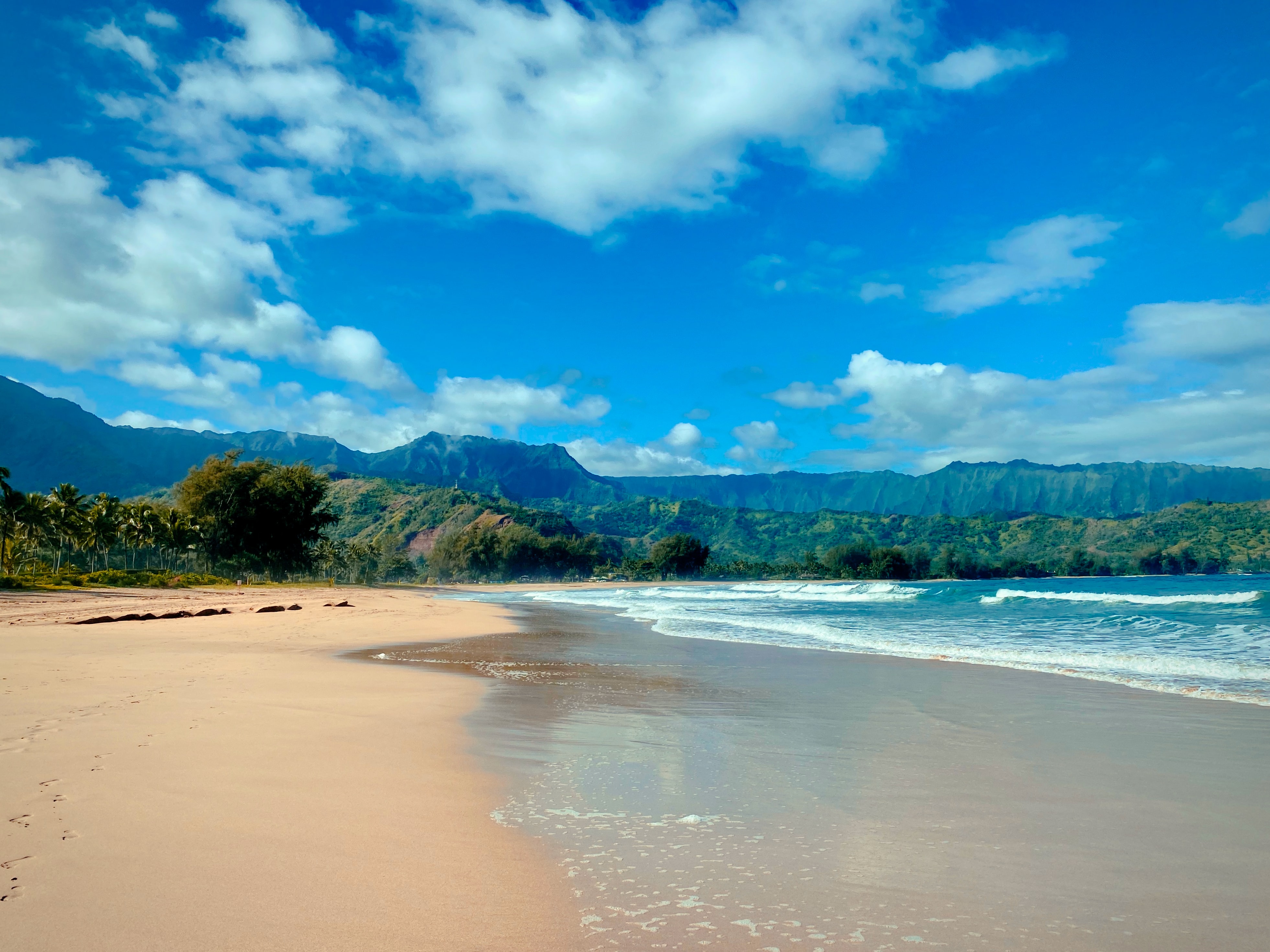
West Kaua’i
Today: Mostly sunny. A 20 percent chance of showers in the afternoon. Highs 86 to 91 near the shore to around 77 above 3000 feet. East winds up to 10 mph shifting to the southwest around 10 mph in the afternoon.
Tonight: Mostly clear. A 20 percent chance of showers early in the evening. Lows around 69 near the shore to around 59 above 3000 feet. Northeast winds around 10 mph in the evening becoming light.
Tuesday: Mostly sunny. A 20 percent chance of showers in the late morning and afternoon. Highs 85 to 91 near the shore to around 76 above 3000 feet. Northeast winds around 10 mph shifting to the southwest in the afternoon.
South Kaua’i
Today: Mostly sunny with a 20 percent chance of showers. Highs 82 to 89. East winds around 10 mph.
Tonight: Mostly clear. Lows around 70. Northeast winds around 10 mph in the evening becoming light.
Tuesday: Sunny. A 20 percent chance of showers in the afternoon. Highs 82 to 90. North winds around 10 mph shifting to the southeast in the afternoon.
Kaua’i Mountains
Today: Partly sunny with a 50 percent chance of showers. Highs 77 to 85 in the valleys to around 68 above 4000 feet. East winds up to 10 mph.
Tonight: Mostly cloudy early in the evening then becoming mostly clear. A 30 percent chance of showers early in the evening. Lows 61 to 69 in the valleys to around 57 above 4000 feet. East winds around 10 mph in the evening becoming light.
Tuesday: Sunny early in the morning, then partly sunny with a 40 percent chance of showers in the late morning and afternoon. Highs 76 to 85 in the valleys to around 67 above 4000 feet. Southwest winds around 10 mph shifting to the northeast in the afternoon.
North Kaua’i
Today: Mostly sunny with a 20 percent chance of showers. Highs 78 to 88. Southeast winds up to 10 mph shifting to the northeast around 10 mph in the afternoon.
Tonight: Mostly clear. A 20 percent chance of showers early in the evening. Lows 63 to 70. Southeast winds around 10 mph in the evening becoming light.
Tuesday: Mostly sunny. A 20 percent chance of showers in the late morning and afternoon. Highs 78 to 88. South winds around 10 mph shifting to the north in the afternoon.
East Kaua’i
Today: Mostly sunny with a 20 percent chance of showers. Highs 75 to 87. East winds up to 10 mph.
Tonight: Mostly clear. A 20 percent chance of showers early in the evening. Lows 63 to 74. North winds around 10 mph in the evening becoming light.
Tuesday: Mostly sunny. A 20 percent chance of showers in the afternoon. Highs 76 to 87. West winds around 10 mph shifting to the east in the afternoon.
Detailed Forecast
Synopsis
Diminishing trade winds will remain light this week, with very little in the way of rainfall anticipated. A wetter regime may develop by next weekend.
Discussion
Light winds and mostly dry weather are on tap this week. Although guidance indicates the potential for a trend toward a wetter regime next weekend, forecast confidence remains low.
Latest satellite images centered over the area show randomly distributed low clouds moving westward near 15 mph, with clouds in greatest concentration upstream of Kauai and the Big Island overnight. Radar is detecting isolated small showers, and morning soundings show a strong and low subsidence inversion. Wisps of high clouds moving NW to SE over the islands help highlight the location of a ridge aloft to the W.
Light to moderate trade winds are being supported by a strong 1041 mb surface high centered far N of the islands. A frontal boundary along 32N lies between the islands and the high, thus limiting its ability to tighten the local pressure gradient. Additionally, broad low pressure about 1100 miles NW of the islands is also contributing to the loosening of the local gradient.
The low to the NW will be slow-moving as it deepens and expands in area over the next couple of days, leading to further weakening and veering of the low-level flow. The resultant light E to SE winds are anticipated to allow land and sea breezes to develop over land, with leeward sea breezes expected as early as this afternoon. A stronger low developing far NE of the islands later in the week will also support the light wind regime. The ridge aloft will persist overhead through mid-week, and a mostly dry regime will continue. Best chance for a shower may be over leeward and interior areas in the afternoons as sea breeze convergence drives cloud formation, with a slight chance of windward showers night and morning.
The ridge aloft will gradually weaken after mid-week as heights lower, bringing the potential for increased instability, but guidance has been inconsistent with the details. As the surface low to the NE moves NE toward the end of the week, models now indicate that high pressure will build N of the islands, leading to increasing trade winds next weekend. However, new low pressure developing far WNW of the islands may keep the flow weakened and veered, with diminished confidence in the forecast for next weekend and beyond.
Aviation
Light trades expected through the week. With weaker winds land/sea breezes are possible. This could lead to some brief localized SHRA and low cigs. Brief MVFR conds will be possible in any SHRA. VFR should prevail.
No AIRMETs in effect.
Marine
A surface ridge to the north will weaken through the week as broad low pressure meanders well northwest of the state. Local winds will respond, decreasing to light to moderate levels with a gradual shift out of the east-southeast. Expect land and sea breeze conditions to become established near the coasts beginning today, where diurnally driven accelerations could lead to pockets of fresh breezes during the afternoons.
Surf along north and east-facing shores will remain small through the first half of the week, primarily featuring small, short-period north-northwest swell. An upward trend is expected Wednesday into the second half of the week, as a short- to medium-period north- northeast swell arrives from a storm-force low forecast to develop around 1,000 nautical miles to the northeast from Tuesday through midweek. Heights could reach advisory levels for east-facing shores (10 ft faces) beginning late Wednesday night into Thursday, while north-facing exposures are expected to remain below advisory levels (15 ft faces). This will be a long-lived event, as the system slowly evolves and drifts northeastward late in the week. Guidance indicates a reinforcement from this system Friday night into Saturday, which may coincide with the peak surf. A gradual downward trend is anticipated from Saturday through Sunday.
Surf along south facing shores will remain small, with predominantly a mix of short- to medium-period southeast and long-period south- southwest swells.
Peak monthly tides may lead to minor coastal flooding in typical low- lying vulnerable areas around daybreak this morning. Water levels are expected to gradually decrease through the week.
HFO Watches/Warnings/Advisories
None.
Data Courtesy of NOAA.gov
