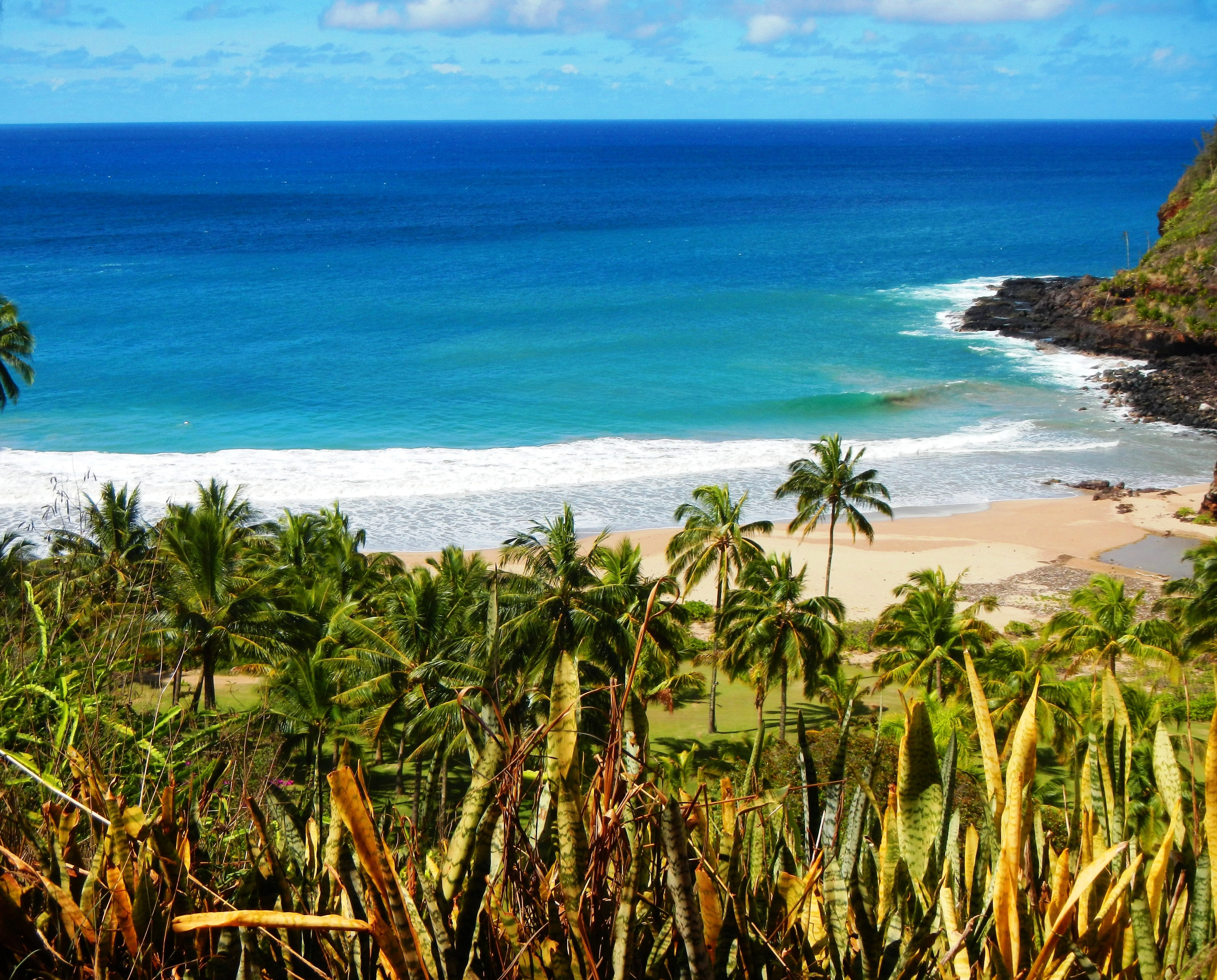
Photo Credit: A Goeller
| Shores |
Today |
Friday |
| Surf |
Surf |
| AM |
PM |
AM |
PM |
| North Facing |
2-4 |
2-4 |
1-3 |
1-3 |
| West Facing |
1-3 |
1-3 |
0-2 |
0-2 |
| South Facing |
2-4 |
2-4 |
1-3 |
1-3 |
| East Facing |
1-3 |
1-3 |
1-3 |
1-3 |
TODAY
| Weather |
Partly sunny. Showers likely. |
| High Temperature |
In the mid 80s. |
| Winds |
East winds around 10 mph. |
| Tides |
| Hanalei Bay |
Low 0.5 feet 08:44 AM HST. |
| High 1.5 feet 02:38 PM HST. |
| Nawiliwili |
Low 0.5 feet 10:06 AM HST. |
| High 1.4 feet 03:39 PM HST. |
|
| Sunrise |
6:29 AM HST. |
| Sunset |
6:24 PM HST. |
TONIGHT
| Weather |
Mostly cloudy. Scattered showers. |
| Low Temperature |
In the mid 70s. |
| Winds |
East winds around 10 mph. |
| Tides |
| Hanalei Bay |
Low 0.2 feet 08:19 PM HST. |
| High 2.0 feet 03:37 AM HST. |
| Nawiliwili |
Low 0.2 feet 09:41 PM HST. |
| High 1.9 feet 04:38 AM HST. |
|
FRIDAY
| Weather |
Partly sunny. Scattered showers. |
| High Temperature |
In the mid 80s. |
| Winds |
Northeast winds around 10 mph. |
| Tides |
| Hanalei Bay |
Low 0.6 feet 09:27 AM HST. |
| High 1.3 feet 02:56 PM HST. |
| Nawiliwili |
Low 0.6 feet 10:49 AM HST. |
| High 1.2 feet 03:57 PM HST. |
|
| Sunrise |
6:30 AM HST. |
| Sunset |
6:23 PM HST. |
Swell Summary
For north facing shores, a pair of overlapping small, short period north swells should maintain small surf in place along north- facing shores through this weekend. A short lived small, short to medium period northeast swell is expected Saturday night through Sunday. There is potential for the arrival of a moderate long period north- northwest swell as early as Sunday and likely peaking next Monday, below advisory levels for north facing shores.
ARTICLE CONTINUES BELOW AD ARTICLE CONTINUES BELOW AD The current long period south southwest swell will continue to gradually fade over the next few days. A moderate, long period south swell that will slowly fill in Saturday, peak Sunday and hold into Monday then gradually decline through the middle of next week. This swell will may boost surf along south facing shores to near advisory levels during its peak.
Data Courtesy of NOAA.gov and SwellInfo.com


