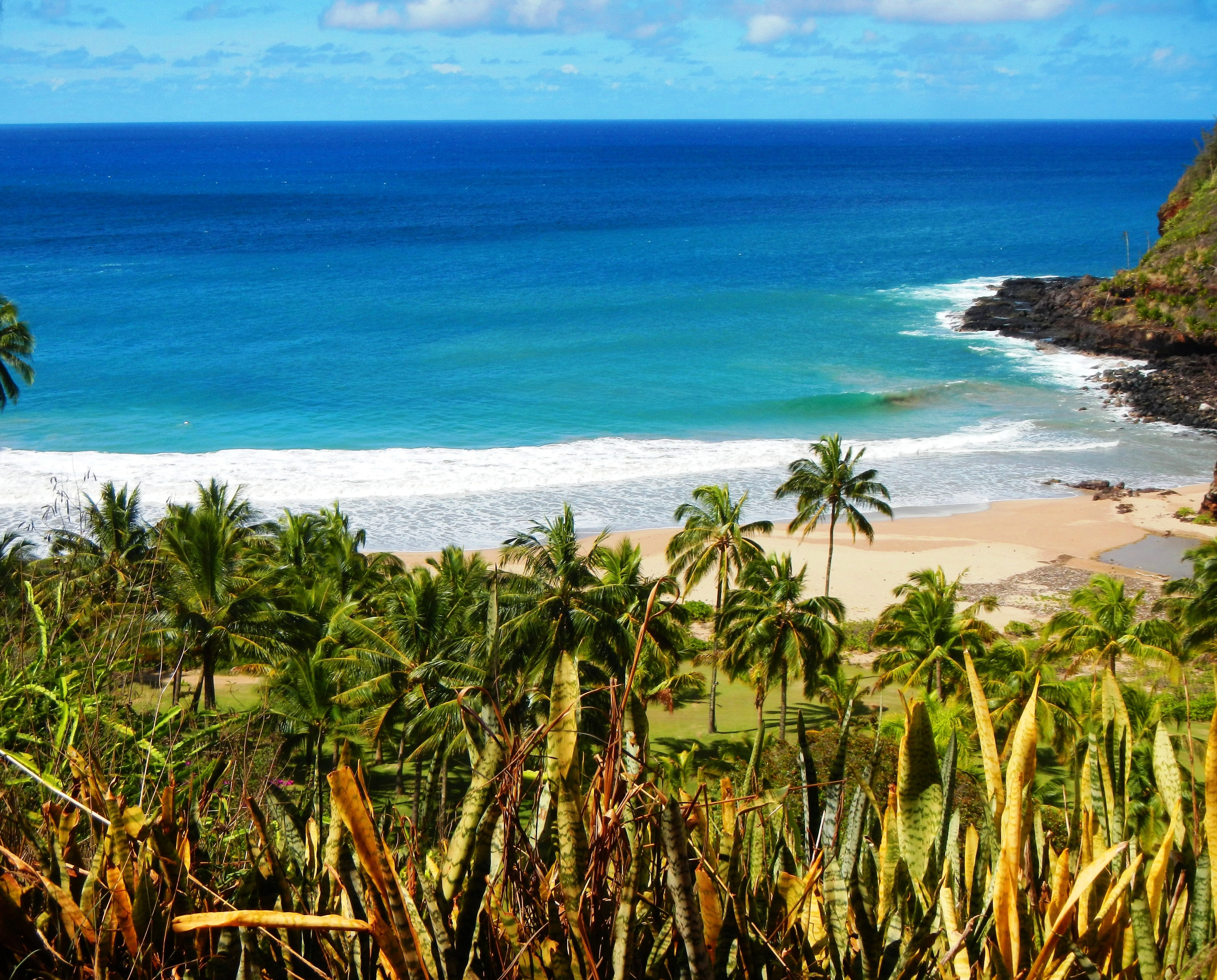
Photo Credit: A Goeller
| Shores |
Today |
Wednesday |
| Surf |
Surf |
| AM |
PM |
AM |
PM |
| North Facing |
6-8 |
8-12 |
6-8 |
4-6 |
| West Facing |
4-6 |
5-7 |
3-5 |
2-4 |
| South Facing |
2-4 |
2-4 |
2-4 |
2-4 |
| East Facing |
1-3 |
1-3 |
1-3 |
1-3 |
TODAY
| Weather |
Partly sunny. Scattered showers. |
| High Temperature |
In the mid 80s. |
| Winds |
East winds around 10 mph. |
|
|
| Sunrise |
6:26 AM HST. |
| Sunset |
6:33 PM HST. |
TONIGHT
| Weather |
Partly cloudy. Isolated showers. |
| Low Temperature |
In the mid 70s. |
| Winds |
East winds around 10 mph. |
| Tides |
| Hanalei Bay |
Low 0.5 feet 06:25 PM HST. |
| High 0.6 feet 08:51 PM HST. |
| Low 0.4 feet 01:06 AM HST. |
| Nawiliwili |
Low 0.6 feet 07:47 PM HST. |
| High 0.6 feet 09:52 PM HST. |
| Low 0.4 feet 02:28 AM HST. |
|
WEDNESDAY
| Weather |
Mostly sunny. Isolated showers. |
| High Temperature |
In the mid 80s. |
| Winds |
East winds around 10 mph. |
|
|
| Sunrise |
6:27 AM HST. |
| Sunset |
6:32 PM HST. |
Swell Summary
A small to moderate size, long to medium period northwest swell arrived at the northwest offshore buoys last night and is timed to reach Kauai before sunrise, Oahu around sunrise. This swell will peak tonight into Wednesday morning and lift north surf to well above head high along those reefs and shorelines where northwest energy best focuses. Surf from this swell is expected to remain under the High Surf Advisory heights and gradually decline beginning Wednesday afternoon. Surf along south-facing shores may experience a series of small, long period southwest pulses at the end of the month in response to storms that are passing south of the Tasman Sea and New Zealand early this week. A very small fetch area of strong southwest winds about 1,000 miles southwest of Oahu in association with recent strong thunderstorm activity may bring in small period energy from the west southwest Wednesday into Thursday. East-facing shore chop should remain small through much of the week due to the lack of a strong trade fetch over or upstream of the state.
ARTICLE CONTINUES BELOW AD ARTICLE CONTINUES BELOW AD Data Courtesy of NOAA.gov and SwellInfo.com


