

Photo Credit: Sebastien Gabriel
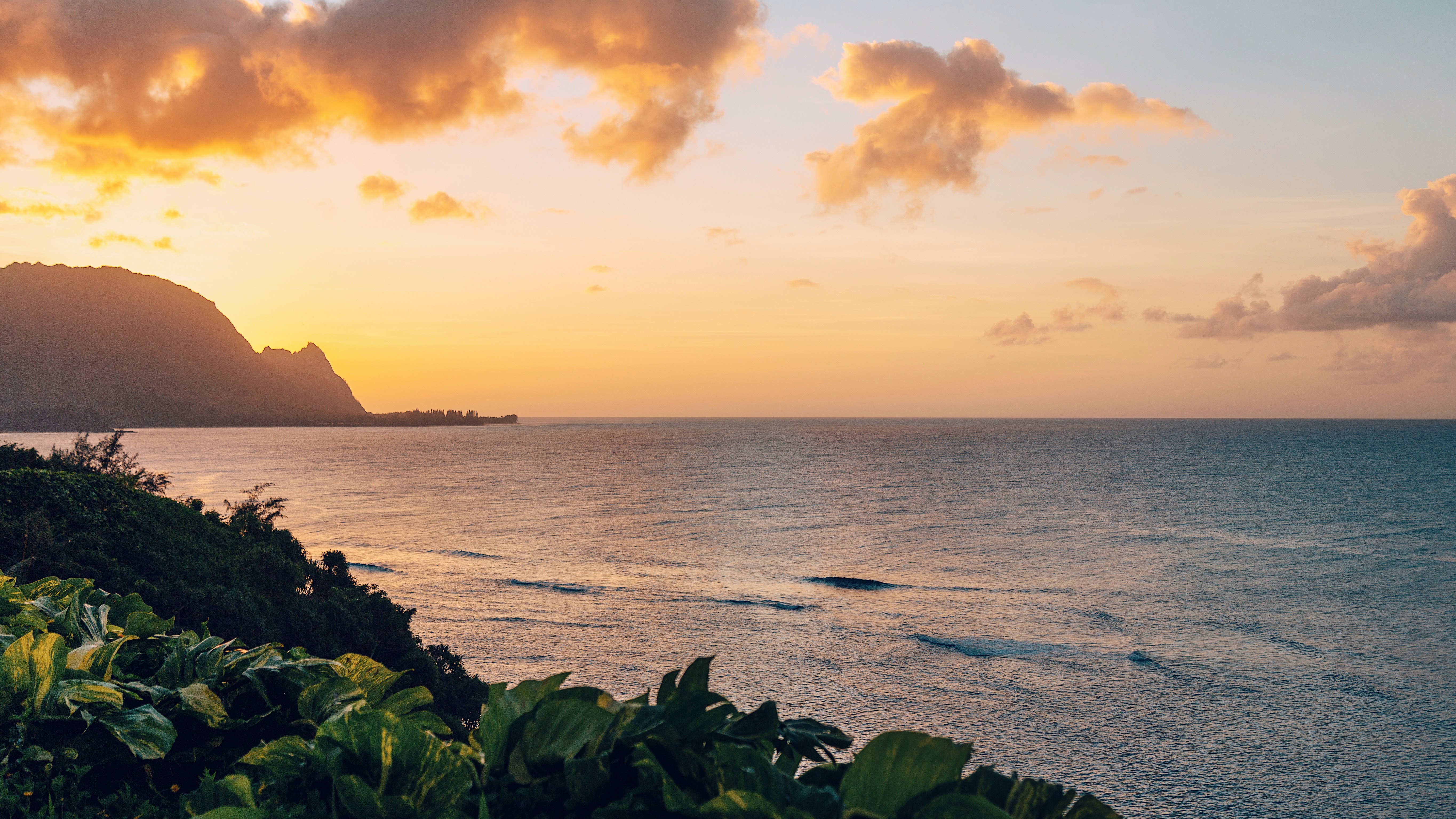
West Kaua’i
Today: Mostly sunny with isolated showers in the morning, then partly sunny with scattered showers in the afternoon. Highs around 90 near the shore to around 77 above 3000 feet. Northeast winds up to 15 mph shifting to the southeast in the afternoon. Chance of rain 50 percent.
Tonight: Mostly cloudy with isolated showers. Lows around 73 near the shore to around 63 above 3000 feet. Northeast winds up to 10 mph. Chance of rain 20 percent.
Sunday: Mostly sunny in the morning then becoming partly sunny. Breezy. Highs around 91 near the shore to around 79 above 3000 feet. East winds up to 20 mph.
South Kaua’i
Today: Partly sunny with scattered showers. Highs 83 to 90. Northeast winds 10 to 15 mph. Chance of rain 50 percent.
Tonight: Mostly cloudy with scattered showers. Lows around 74. Northeast winds 10 to 15 mph. Chance of rain 50 percent.
Sunday: Breezy. Partly sunny with scattered showers in the morning, then mostly sunny with isolated showers in the afternoon. Highs 83 to 90. East winds 10 to 20 mph. Chance of rain 40 percent.
Kaua’i Mountains
Today: Mostly cloudy with scattered showers. Highs 76 to 85 in the valleys to around 69 above 4000 feet. East winds up to 10 mph. Chance of rain 50 percent.
Tonight: Mostly cloudy with scattered showers. Lows 66 to 72 in the valleys to around 60 above 4000 feet. East winds up to 10 mph. Chance of rain 50 percent.
Sunday: Partly sunny. Breezy. Scattered showers in the morning, then isolated showers in the afternoon. Highs 76 to 87 in the valleys to around 68 above 4000 feet. East winds up to 20 mph. Chance of rain 50 percent.
North Kaua’i
Today: Partly sunny with scattered showers. Highs 78 to 90. Southeast winds up to 15 mph. Chance of rain 50 percent.
Tonight: Mostly cloudy with scattered showers. Lows 67 to 75. Southeast winds up to 10 mph. Chance of rain 50 percent.
Sunday: Partly sunny with scattered showers in the morning, then mostly sunny with isolated showers in the afternoon. Highs 79 to 91. Southeast winds up to 15 mph. Chance of rain 40 percent.
East Kaua’i
Today: Partly sunny with scattered showers. Highs 77 to 87. Northeast winds up to 15 mph shifting to the east in the afternoon. Chance of rain 50 percent.
Tonight: Mostly cloudy with scattered showers. Lows 67 to 77. Northeast winds up to 10 mph. Chance of rain 50 percent.
Sunday: Partly sunny with scattered showers in the morning, then mostly sunny with isolated showers in the afternoon. Highs 76 to 87. East winds up to 15 mph increasing to 10 to 15 mph in the afternoon. Chance of rain 50 percent.
Detailed Forecast
Synopsis
Moderate trade winds will continue over the next few days, with breezy to locally windy trades returning by early next week. A weak disturbance riding in on the trades will increase clouds and shower activity through this evening. Another weak disturbance will move across the islands on Tuesday. Significant rainfall is not expected from either disturbance, but they should provide some beneficial rain for windward and mauka areas.
Discussion
A weak trough over the Kaiwi Channel will continue to move across the rest of the state today. Clouds and embedded showers continue to move into Windward Big Island early this morning with localized areas of moderate to heavy rainfall across the Hamakua Coast down to Puna and along the Kau Coast. The highest rainfall total over the last 12 hours was 4.2 inches near Honolii. The wetter weather has started to move into East Maui over the last few hours. The 12Z sounding at Hilo contained 1.81 inches of precipitable water under a weakly unstable atmosphere, with CIMSS MIMIC PWATs showing similar values over the Alenuihaha Channel. This setup continues to support areas of moderate to locally heavy rainfall totals over Windward Big Island and East Maui today, but flooding concerns remain minimal. Otherwise, the rest of the state can expect a slight uptick in windward clouds and showers through tonight as the moisture plume continues to move east across the islands. Leeward areas will mainly see an increase in cloud cover through tonight with some passing showers.
Drier conditions return Sunday with breezy trades expected by Monday. Breezy to locally windy trade will then continue through much of the upcoming week as high pressure strengthens far northeast of the state.
Another disturbance associated with an area of deeper moisture currently near 137 degrees West is expected to move across the state on Tuesday, with model PWATs around 1.8 inches. This system should bring more widespread clouds and showers to windward and mauka areas of all islands. With the stronger trades in place expect some of these showers to spillover into leeward areas at times. Expect a return to more typical trade wind weather conditions behind the disturbance with strong trades continuing through the end of the upcoming week.
Aviation
Moderate to locally breezy trades will continue into the weekend. A passing disturbance is expected to bring an increase in windward SHRA to the east end of the state through the rest of today. Low cigs should favor windward and mauka areas with brief periods of MVFR possible. Otherwise, VFR should prevail.
AIRMET Sierra for mtn obsc is in effect for windward Big Island. Conds should improve by mid morning.
Marine
A high pressure system far north of the Hawaiian Islands will will begin to strengthen the trade winds into the fresh to locally strong afternoon as the high center strengthens. Trade wind speeds will be strong enough to support Small Craft Advisory (SCA) conditions over the windier waters and channels near Maui and the Big Island starting this evening and lasting through much of next week. An SCA was issued for these waters starting tonight.
Background south swell energy pulses are forecast to continue with surf remaining below average through much of next week. Small, choppy surf is expected for east facing shores for the next several days due to continued trade winds. Surf then becomes increasingly rough along east facing shores as locally strong trades increase early next week.
Spring tides will peak this weekend, and local tide gauges indicate water levels are already running above guidance. Water levels are currently running at least 1 foot higher than the Mean Higher High Water (MHHW) threshold at Hilo, Kahului, and Honolulu and have exceeded the 1 foot threshold at Honolulu. The Coastal Flood Statement for isolated minor flooding has been extended through Monday evening.
HFO Watches/Warnings/Advisories
Small Craft Advisory from 6 PM this evening to 6 AM HST Monday for Maalaea Bay, Pailolo Channel, Alenuihaha Channel, Big Island Leeward Waters.
Data Courtesy of NOAA.gov
