

Photo Credit: Jason Weingardt
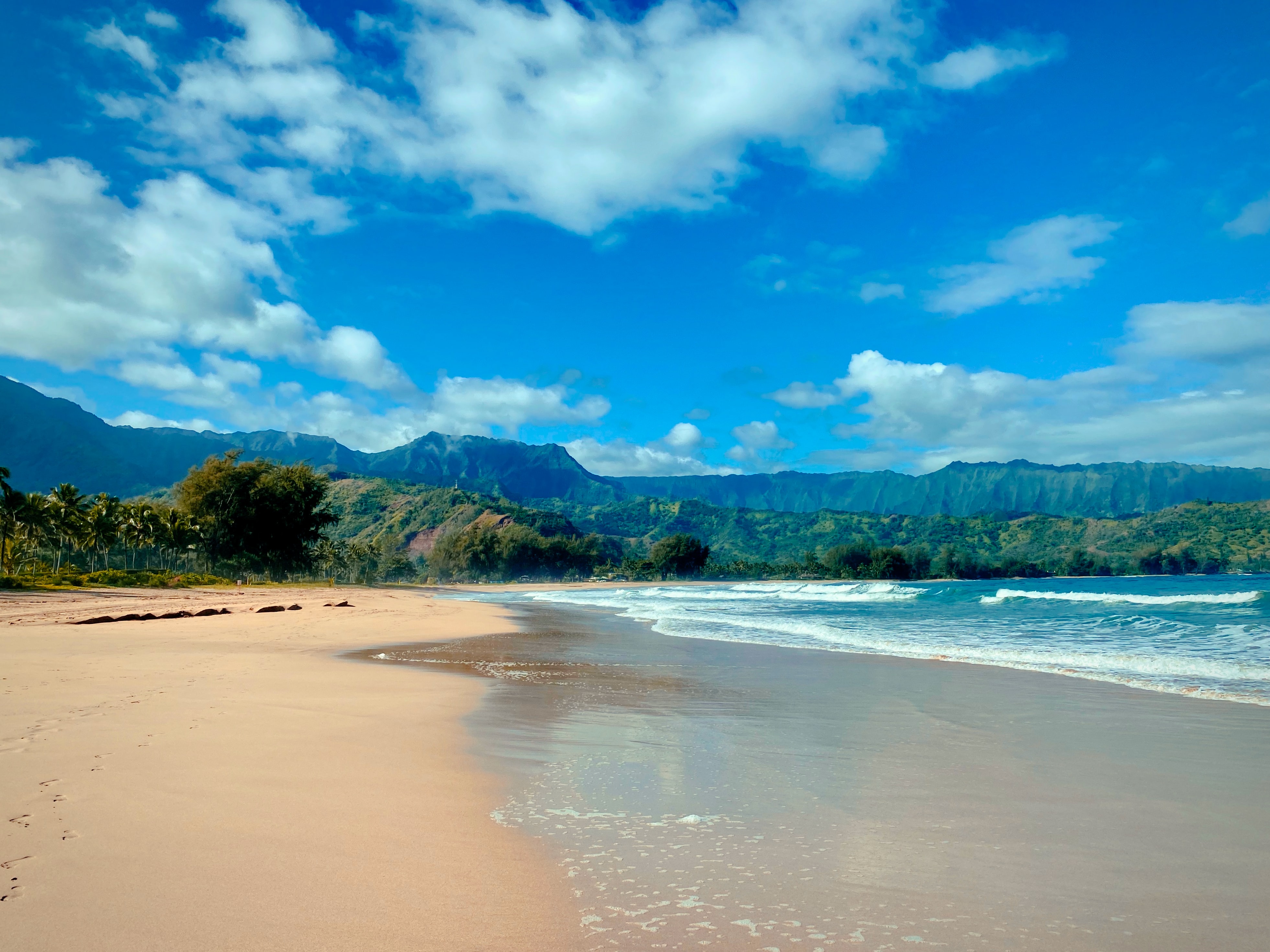
West Kaua’i
Today: Mostly sunny. Highs around 89 near the shore to around 77 above 3000 feet. Northeast winds up to 10 mph shifting to the north in the afternoon.
Tonight: Partly cloudy. Lows around 71 near the shore to around 61 above 3000 feet. Northeast winds up to 10 mph.
Friday: Mostly sunny. Highs around 89 near the shore to around 77 above 3000 feet. East winds up to 10 mph.
South Kaua’i
Today: Mostly sunny. Isolated showers in the morning. Highs 82 to 90. Northeast winds 10 to 15 mph. Chance of rain 20 percent.
Tonight: Partly cloudy with isolated showers. Lows around 72. Northeast winds 10 to 15 mph. Chance of rain 20 percent.
Friday: Mostly sunny. Isolated showers in the morning. Highs 82 to 89. Northeast winds 10 to 15 mph. Chance of rain 20 percent.
Kaua’i Mountains
Today: Partly sunny with scattered showers in the morning, then mostly sunny with isolated showers in the afternoon. Highs 75 to 85 in the valleys to around 68 above 4000 feet. East winds up to 15 mph. Chance of rain 50 percent.
Tonight: Partly cloudy in the evening then becoming mostly cloudy. Scattered showers. Lows 63 to 70 in the valleys to around 58 above 4000 feet. East winds up to 15 mph. Chance of rain 50 percent.
Friday: Partly sunny with scattered showers in the morning, then mostly sunny with isolated showers in the afternoon. Highs 76 to 85 in the valleys to around 68 above 4000 feet. East winds up to 15 mph. Chance of rain 50 percent.
North Kaua’i
Today: Mostly sunny with isolated showers. Highs 77 to 89. East winds up to 15 mph. Chance of rain 20 percent.
Tonight: Partly cloudy with isolated showers. Lows 65 to 73. Southeast winds up to 10 mph. Chance of rain 20 percent.
Friday: Mostly sunny with isolated showers. Highs 77 to 89. East winds up to 15 mph. Chance of rain 20 percent.
East Kaua’i
Today: Mostly sunny with isolated showers. Highs 76 to 86. Northeast winds 10 to 15 mph. Chance of rain 20 percent.
Tonight: Partly cloudy with isolated showers. Lows 64 to 76. Northeast winds 10 to 15 mph. Chance of rain 20 percent.
Friday: Mostly sunny with isolated showers. Highs 76 to 87. East winds 10 to 15 mph. Chance of rain 20 percent.
Detailed Forecast
Synopsis
Moderate trades will continue over the next few days with breezy trades returning early next week. Dry and stable air over the state should limit windward showers over most islands into Friday. Isolated afternoon showers may develop with the sea breezes over the lower slopes of leeward Big Island. A weak disturbance riding in on the trade winds from the east will increase clouds and shower activity from Friday night into Sunday. Another weak disturbance will move into the Hawaii region by next week Tuesday and Wednesday.
Discussion
Satellite imagery this morning shows a weak trough roughly 400 miles east of Hilo drifting towards the islands on the trade winds. Trade wind temperature inversion heights were measured by upper air soundings this morning at 2 AM HST around 5,000 feet above Mean Sea Level (MSL) at Lihue and around 6,500 feet MSL at Hilo. These low inversion heights indicate fairly strong subsidence (downward moving air) and stable conditions over the western and central islands, which tend to limit vertical cloud growth and reduce shower activity. Brief passing showers will likely continue over the windward Big Island and East Maui as easterly trade winds drive trade wind clouds and moisture up the mountain slopes. Short range global model guidance continues to show this strong subsidence inversion will continue into Friday due to the high pressure ridge over the island chain.
The weather pattern changes slightly from Friday evening into Saturday morning as a weak low level trough moves from east to west down the island chain over the weekend. The low level forcing with this trough and added moisture advection into the islands will push back on the large scale subsidence, raising the temperature inversion to higher heights, allowing for higher cloud tops and increasing shower activity. Windward and mountain areas will see more shower activity than the drier terrain sheltered leeward slopes. The Big Island and Maui may see slight increases to cloud and shower trends with the afternoon leeward sea breezes as wrap around moisture is driven up and convects along the mountain slopes. Statewide drying trends return from Sunday through Monday. Then a slightly stronger low level trough spreads another round of increasing moisture and shower trends from east to west across the islands next week, from Tuesday morning into Wednesday.
Aviation
Moderate to locally breezy trades will continue through the end of the week. SHRA and low cigs will favor windward and mauka areas and could bring brief periods of MVFR. Otherwise, VFR should prevail.
No AIRMETs are currently in effect.
Marine
Moderate trade winds will persist into the weekend as a weak high remains north of the state. Moderate to locally strong trades may return late into the weekend as a weak trough northeast of the state dissipates and the high strengthens north of the state. Small Craft Advisory conditions may return to typically windy areas around Maui County and the Big Island during this time. The high will further develop northeast of the state early next week, strengthening trades across the state.
Near average surf along south facing shores will persist today before easing to below average Friday. Background southerly swells is then expected Friday through the remainder of the forecast period, maintaining below average surf along south facing shores.
Small, choppy surf is expected for east facing shores for the next few days as trades remain in the moderate range locally and upstream. Rough, choppy is expected to gradually return late in the weekend into early next week as strong trades return. No significant swells are expected elsewhere.
Local tide gauges show water levels are gradually rising more and more above model guidance across the state, due to spring tides peaking this weekend during the afternoon high tide cycle. Water levels may reach or exceed the 1 foot Mean Higher High water (MHHW) threshold as early as Friday afternoon, causing minor flooding along low lying coastal zones and prompting the issuance of a Coastal Flood Statement (CFS). The likelihood of water levels exceeding the 1 foot threshold is high around Maui and the Big Island Saturday into Monday, however there is a chance water levels could reach the 1 foot threshold around Oahu and Kauai as well.
HFO Watches/Warnings/Advisories
None.
Data Courtesy of NOAA.gov
