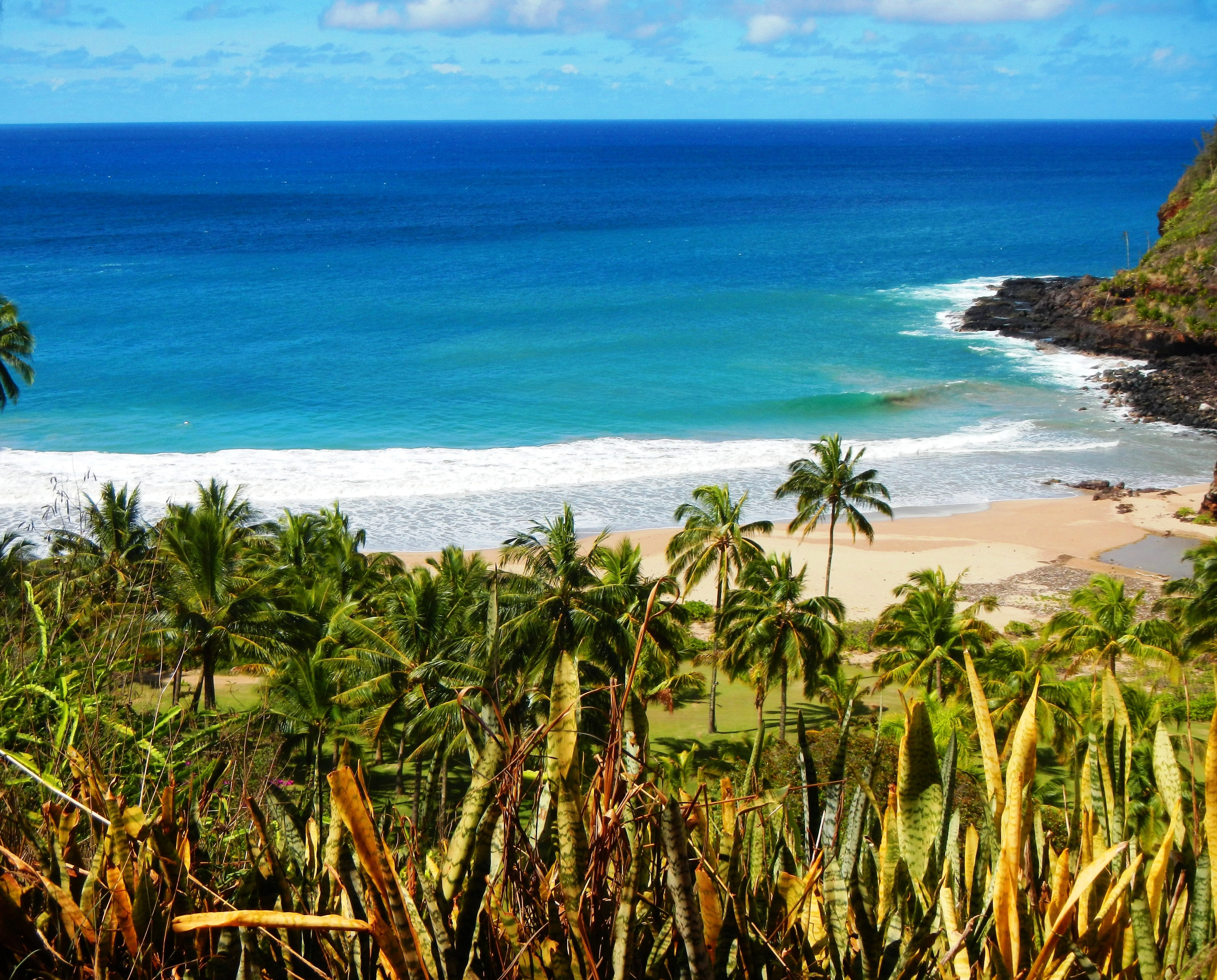
Photo Credit: A Goeller
| Shores |
Today |
Tuesday |
| Surf |
Surf |
| AM |
PM |
AM |
PM |
| North Facing |
9-12 |
10-15 |
6-8 |
6-8 |
| West Facing |
7-10 |
8-12 |
4-6 |
4-6 |
| South Facing |
1-3 |
1-3 |
1-3 |
1-3 |
| East Facing |
4-6 |
4-6 |
3-5 |
3-5 |
TODAY
| Weather |
Partly sunny. Isolated showers. |
| High Temperature |
In the lower 80s. |
| Winds |
East winds 10 to 15 mph. |
| Tides |
| Hanalei Bay |
Low -0.1 feet 08:27 AM HST. |
| High 1.4 feet 03:19 PM HST. |
| Nawiliwili |
Low -0.1 feet 09:49 AM HST. |
| High 1.3 feet 04:20 PM HST. |
|
| Sunrise |
6:36 AM HST. |
| Sunset |
6:50 PM HST. |
TONIGHT
| Weather |
Mostly cloudy. Scattered showers. |
| Low Temperature |
In the upper 60s. |
| Winds |
East winds around 10 mph. |
| Tides |
| Hanalei Bay |
Low 0.2 feet 08:52 PM HST. |
| High 1.2 feet 03:02 AM HST. |
| Nawiliwili |
Low 0.2 feet 10:14 PM HST. |
| High 1.1 feet 04:03 AM HST. |
|
TUESDAY
| Weather |
Partly sunny. Scattered showers. |
| High Temperature |
In the lower 80s. |
| Winds |
East winds 10 to 15 mph. |
| Tides |
| Hanalei Bay |
Low -0.1 feet 08:45 AM HST. |
| High 1.5 feet 03:53 PM HST. |
| Nawiliwili |
Low -0.1 feet 10:07 AM HST. |
| High 1.4 feet 04:54 PM HST. |
|
| Sunrise |
6:35 AM HST. |
| Sunset |
6:51 PM HST. |
Swell Summary
A moderate size, long-transitioning-to-medium period west-northwest (300-320 degree) swell will build in this morning and peak this afternoon. This swell will lift surf along better exposed north and west-facing shores to near High Surf Advisory (HSA) levels today. The more westerly component of this swell may bump surf up along the west-facing shores of Big Island today. Island shadowing with the more north (than west) directional component to this swell should keep Kona coast surf under HSA levels. Today's fresh trades will continue to produce short period easterly elevated wind wave swell that has resulted in persistent choppy conditions along most eastern exposures. South-facing shore surf will remain at background levels the next several days. South surf may see a minor bump Tuesday as a very small, medium period south-southwest (200 degree) swell passes around the islands.
ARTICLE CONTINUES BELOW AD ARTICLE CONTINUES BELOW AD Data Courtesy of NOAA.gov and SwellInfo.com


