

Photo Credit: Jason Weingardt
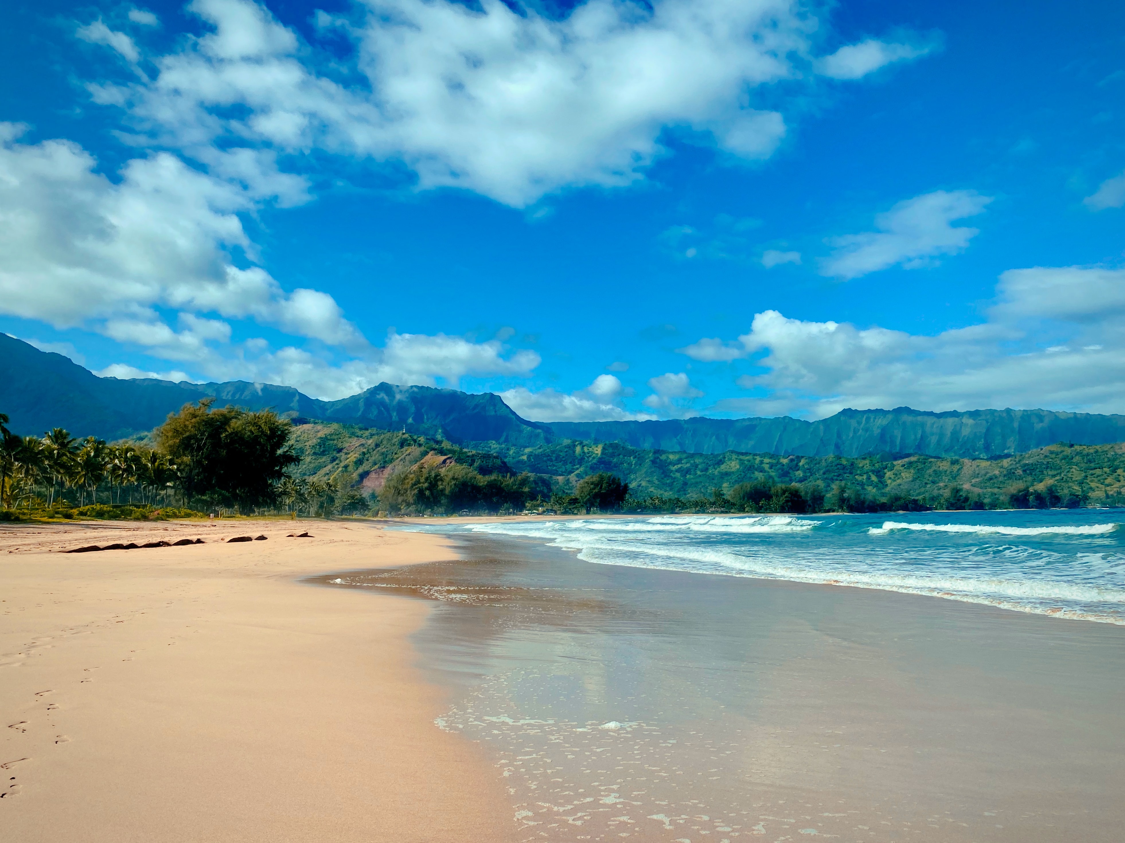
West Kaua’i
Today: Breezy. Partly sunny with isolated showers. Highs around 79 near the shore to around 67 above 3000 feet. East winds up to 20 mph. Chance of rain 20 percent.
Tonight: Mostly cloudy. Isolated showers in the evening, then scattered showers after midnight. Lows around 68 near the shore to around 57 above 3000 feet. East winds 10 to 15 mph. Chance of rain 50 percent.
Friday: Partly sunny with isolated showers. Highs around 78 near the shore to around 66 above 3000 feet. East winds 10 to 15 mph. Chance of rain 20 percent.
South Kaua’i
Today: Breezy. Partly sunny with showers likely. Highs around 78. Northeast winds 15 to 25 mph. Chance of rain 70 percent.
Tonight: Breezy. Mostly cloudy with showers likely. Lows 64 to 69. East winds 10 to 20 mph. Chance of rain 70 percent.
Friday: Mostly cloudy. Breezy. Numerous showers in the morning, then scattered showers in the afternoon. Highs around 77. East winds 10 to 20 mph. Chance of rain 70 percent.
Kaua’i Mountains
Today: Mostly cloudy. Breezy. Occasional showers in the morning, then showers likely in the afternoon. Highs 66 to 74 in the valleys to around 61 above 4000 feet. East winds 10 to 20 mph. Chance of rain 90 percent.
Tonight: Breezy. Mostly cloudy with occasional showers. Lows 57 to 62 in the valleys to around 51 above 4000 feet. East winds 10 to 25 mph. Chance of rain 90 percent.
Friday: Mostly cloudy. Breezy. Frequent showers in the morning, then scattered showers in the afternoon. Highs 65 to 73 in the valleys to around 60 above 4000 feet. East winds 10 to 20 mph. Chance of rain 90 percent.
North Kaua’i
Today: Breezy. Mostly cloudy with showers likely. Highs 71 to 78. East winds up to 20 mph. Chance of rain 70 percent.
Tonight: Mostly cloudy. Showers likely in the evening, then occasional showers after midnight. Lows 60 to 69. East winds 10 to 15 mph. Chance of rain 90 percent.
Friday: Mostly cloudy with scattered showers. Highs 70 to 77. East winds 10 to 15 mph. Chance of rain 50 percent.
East Kaua’i
Today: Mostly cloudy. Breezy. Occasional showers in the morning, then showers likely in the afternoon. Highs 71 to 78. Northeast winds 10 to 20 mph. Chance of rain 90 percent.
Tonight: Mostly cloudy with occasional showers. Lows 58 to 70. East winds 10 to 15 mph. Chance of rain 90 percent.
Friday: Mostly cloudy. Numerous showers in the morning, then scattered showers in the afternoon. Highs 70 to 77. East winds 10 to 15 mph. Chance of rain 70 percent.
Detailed Forecast
Synopsis
Trade winds will prevail through the forecast period, remaining breezy through the weekend and potentially strengthening early next week. Clouds and showers will favor windward and mauka areas, with showers becoming enhanced at times as upper troughs pass through.
Discussion
Breezy trade winds will persist through the weekend as a strong high far north of the islands moves slowly southeast and gradually weakens by Saturday. A new high will build northwest and north of the area, supporting breezy to locally strong trade winds well into next week. Upper troughing will prevail into next week, and the overall pattern will be fairly wet, especially for windward areas. Instability provided by upper troughing will enhance showers from time to time. A few showers may push leeward on the breezy trades.
Models show an upper trough will move over the islands today before lifting northeast of the islands Friday night and Saturday. Another upper trough will develop Sunday into Tuesday, potentially forming a closed low over the islands. If this low were to develop, it would be slow-moving, with associated instability lingering through the week. A potential exists for a few thunderstorms Sunday through Tuesday. However, confidence is too low to include them in the gridded database. Expect continued high cloud coverage into next week in association with the upper troughs.
Aviation
Breezy trade winds will continue for the foreseeable future. Clouds and showers will continue to favor windward and mauka areas, bringing periods of MVFR cigs/vsbys as bands of showers move through.
AIRMET Sierra remains in effect for mountain obscuration over windward areas. Conditions should improve in most areas around daybreak, but may linger through the morning hours on Kauai.
AIRMET Tango remains in effect for moderate turbulence over and downwind of the terrain of all islands. This AIRMET will likely continue through much of the next week.
AIRMET Tango is also in effect for moderate upper level turbulence from Oahu eastward to the Big Island. Conditions should improve from Maui westward by daybreak, but may linger through the morning hours over the Big Island.
Marine
Strong surface high pressure located far north of the main Hawaiian Islands will move southeast closer to the state over the next several days, maintaining fresh to strong trades throughout this period. Due to the strong trades, a Small Craft Advisory (SCA) remains in effect through today for all coastal waters. The SCA has been pulled back after today, for mainly the typically windier waters around Maui County, the Big Island, and the Kaiwi channel due to the fresh to locally strong trades continuing through Friday. The potential to have all the zones added back into the SCA may present itself this weekend as the high stalls northeast of the state.
Surf along exposed east facing shores will remain rough through the rest of the week due to choppy wind waves. North facing shores will remain small through tonight before an upward trend is expected Friday afternoon through the weekend due to a combination of north- northeast and west- northwest swells. The north- northeast swell will fill in Friday afternoon, then peak over the weekend. The west- northwest swell is forecast to build down the island chain on Saturday, producing surf which will peak near High Surf Advisory (HSA) thresholds across exposed north and west facing shores late Sunday and Sunday night. Surf along south facing shores will see an upward trend this afternoon as a small, long- period south- southwest swell arrives. This swell will peak late Friday into Saturday, then ease Sunday.
HFO Watches/Warnings/Advisories
Small Craft Advisory until 6 PM HST this evening for Kauai Northwest Waters, Kauai Windward Waters, Kauai Leeward Waters, Kauai Channel, Oahu Windward Waters, Oahu Leeward Waters, Maui County Windward Waters, Maui County Leeward Waters, Big Island Windward Waters.
Small Craft Advisory until 6 PM HST Friday for Kaiwi Channel, Maalaea Bay, Pailolo Channel, Alenuihaha Channel, Big Island Leeward Waters, Big Island Southeast Waters.
Data Courtesy of NOAA.gov
