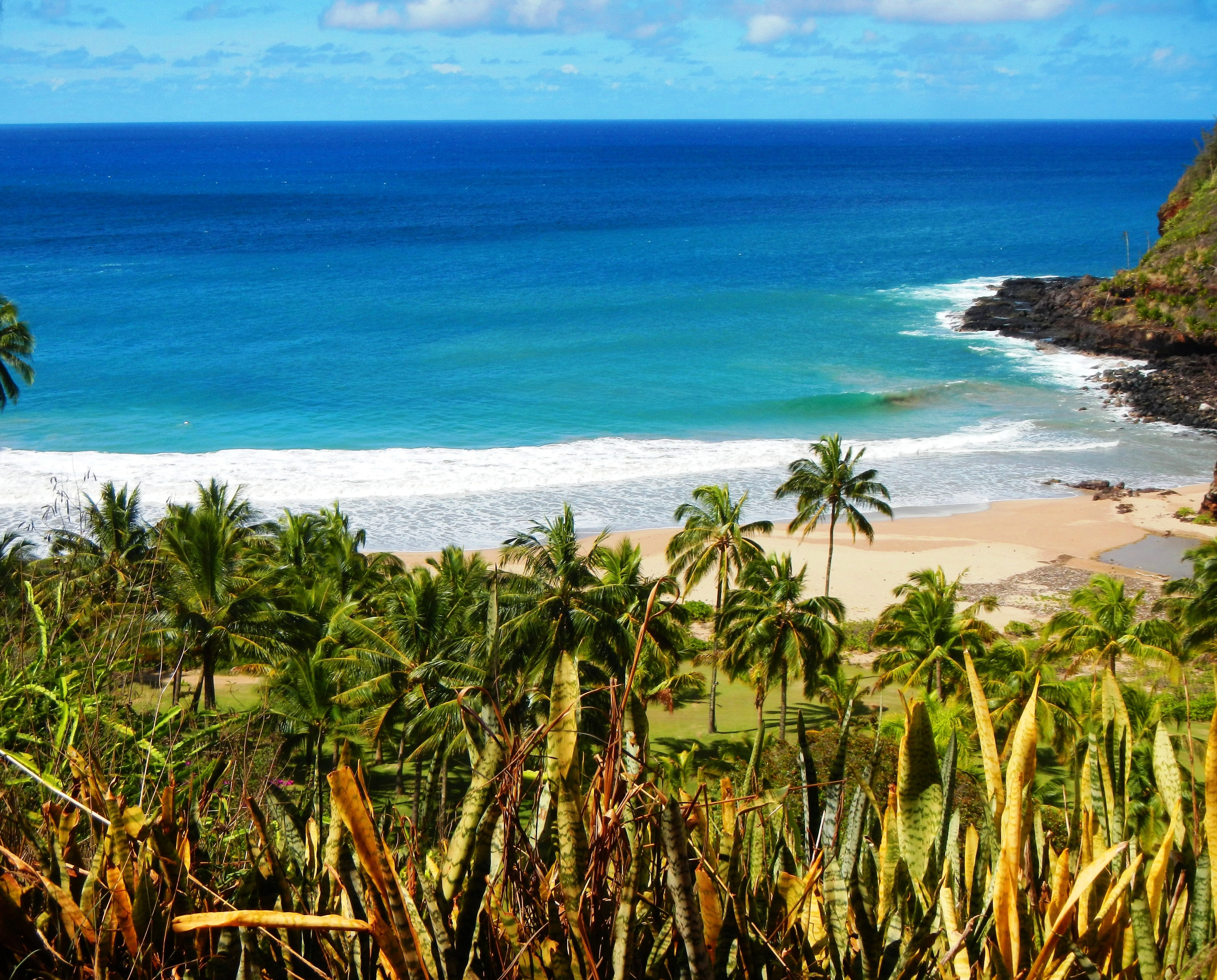
Photo Credit: A Goeller
| Shores |
Today |
Friday |
| Surf |
Surf |
| AM |
PM |
AM |
PM |
| North Facing |
18-22 |
15-20 |
10-14 |
8-12 |
| West Facing |
14-18 |
12-16 |
7-10 |
6-8 |
| South Facing |
2-4 |
2-4 |
2-4 |
2-4 |
| East Facing |
0-2 |
0-2 |
0-2 |
0-2 |
TODAY
| Weather |
Sunny. |
| High Temperature |
In the upper 70s. |
| Winds |
Northwest winds around 5 mph, becoming
northeast in the afternoon. |
| Tides |
| Hanalei Bay |
Low 0.2 feet 09:50 AM HST. |
| High 0.6 feet 02:30 PM HST. |
| Nawiliwili |
Low 0.3 feet 11:12 AM HST. |
| High 0.6 feet 03:31 PM HST. |
|
| Sunrise |
7:18 AM HST. |
| Sunset |
6:21 PM HST. |
TONIGHT
| Weather |
Mostly clear. |
| Low Temperature |
In the mid 60s. |
| Winds |
West winds around 5 mph. |
| Tides |
| Hanalei Bay |
Low -0.2 feet 07:41 PM HST. |
| High 2.1 feet 03:36 AM HST. |
| Nawiliwili |
Low -0.3 feet 09:03 PM HST. |
| High 2.0 feet 04:37 AM HST. |
|
FRIDAY
| Weather |
Sunny. |
| High Temperature |
Around 80. |
| Winds |
Southwest winds 5 to 10 mph. |
| Tides |
| Hanalei Bay |
Low 0.2 feet 10:10 AM HST. |
| High 0.7 feet 03:06 PM HST. |
| Nawiliwili |
Low 0.3 feet 11:32 AM HST. |
| High 0.7 feet 04:07 PM HST. |
|
| Sunrise |
7:18 AM HST. |
| Sunset |
6:22 PM HST. |
Swell Summary
A fresh pulse of medium-period WNW swell will support advisory level surf along exposed N and W facing shores today. This swell will gradually diminish Friday and Saturday. Another WNW swell will arrive Sunday and Monday, likely leading to High Surf Advisory level surf along many N and W facing shores, including leeward Big Island. This swell may continue to build on Tuesday, pushing surf heights to High Surf Warning levels along exposed shores. This swell is expected to diminish next Wednesday and Thursday. Short-period choppy wind waves along S and W facing shores will ease as winds diminish the next couple of days, but will likely redevelop over the weekend as SW winds increase again. East facing shores have minimal surf and a distinct lack of wind waves.
ARTICLE CONTINUES BELOW AD ARTICLE CONTINUES BELOW AD Data Courtesy of NOAA.gov and SwellInfo.com


