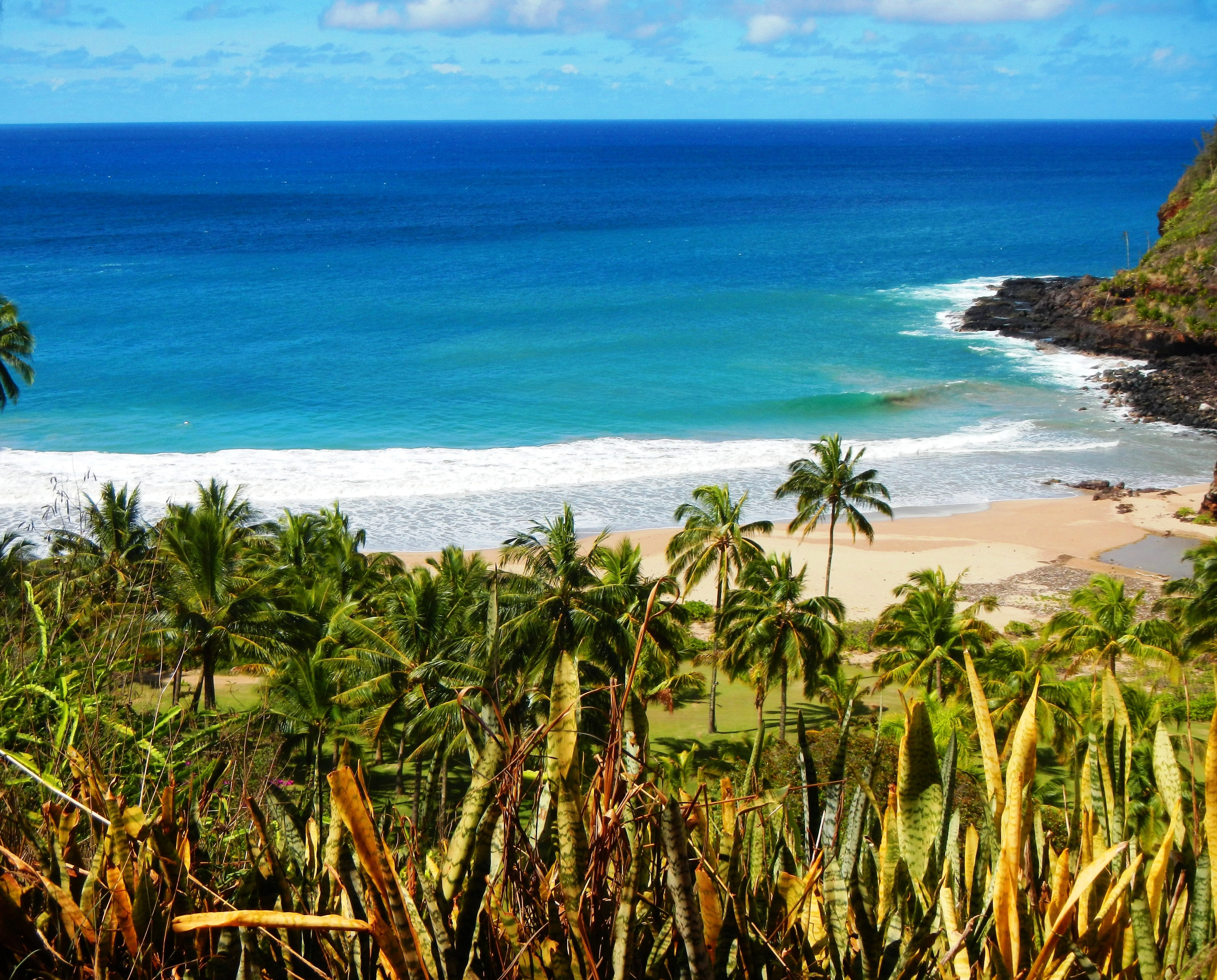
Kauai Surf Forecast for December 23, 2023
| Shores | Today | Sunday | ||
|---|---|---|---|---|
| Surf | Surf | |||
| AM | PM | AM | PM | |
| North Facing | 8-12 | 7-10 | 12-16 | 15-20 |
| West Facing | 5-7 | 4-6 | 6-8 | 8-12 |
| South Facing | 1-3 | 1-3 | 1-3 | 1-3 |
| East Facing | 4-6 | 4-6 | 3-5 | 2-4 |
| Weather | Mostly sunny. Isolated showers. | |||||||||
|---|---|---|---|---|---|---|---|---|---|---|
| High Temperature | In the lower 80s. | |||||||||
| Winds | East winds around 10 mph. | |||||||||
|
||||||||||
| Sunrise | 7:12 AM HST. | |||||||||
| Sunset | 6:00 PM HST. | |||||||||
| Weather | Partly cloudy. Isolated showers. | |||||||
|---|---|---|---|---|---|---|---|---|
| Low Temperature | Around 70. | |||||||
| Winds | East winds around 10 mph. | |||||||
|
||||||||
| Weather | Mostly sunny. Scattered showers. | |||||||||
|---|---|---|---|---|---|---|---|---|---|---|
| High Temperature | In the lower 80s. | |||||||||
| Winds | East winds around 10 mph. | |||||||||
|
||||||||||
| Sunrise | 7:13 AM HST. | |||||||||
| Sunset | 6:01 PM HST. | |||||||||
Swell Summary
The current northwest (310-330) swell is still holding on locally but should start to trend down slowly later this morning.
Forerunners of moderate to large, long- period north- northwest (330 deg) swell will arrive later today and build through tonight, keeping surf elevated. This swell will peak Sunday and hold into Christmas Day and could push surf height well into advisory levels.
Back- to- back, dangerous, warning level north- northwest (330-340) swells are due in Tuesday and Wednesday. The first swell will build Monday, peak Tuesday. The second storm could produce an extra large swell, since already acting on existing seas. This swell is expected Tuesday night, holding well above warning level surf into Wednesday. As these swell sources continue their eastward track, can expect a mix of northwest and north swell components through the week which will keep surf elevated along north and west facing shores.
Yet another potentially extra large northwest swell may fill in Thursday, peak Thursday night, producing dangerous warning- level surf.
Surf along east facing shores will steadily lower through early next week as the trades ease locally and upstream of the islands. Surf along south facing shores will trend down over the weekend as a background south-southwest (190 deg) swell moves out. A small, medium period south-southwest swell is possible Tuesday night through Wednesday.
Data Courtesy of NOAA.gov and SwellInfo.com


