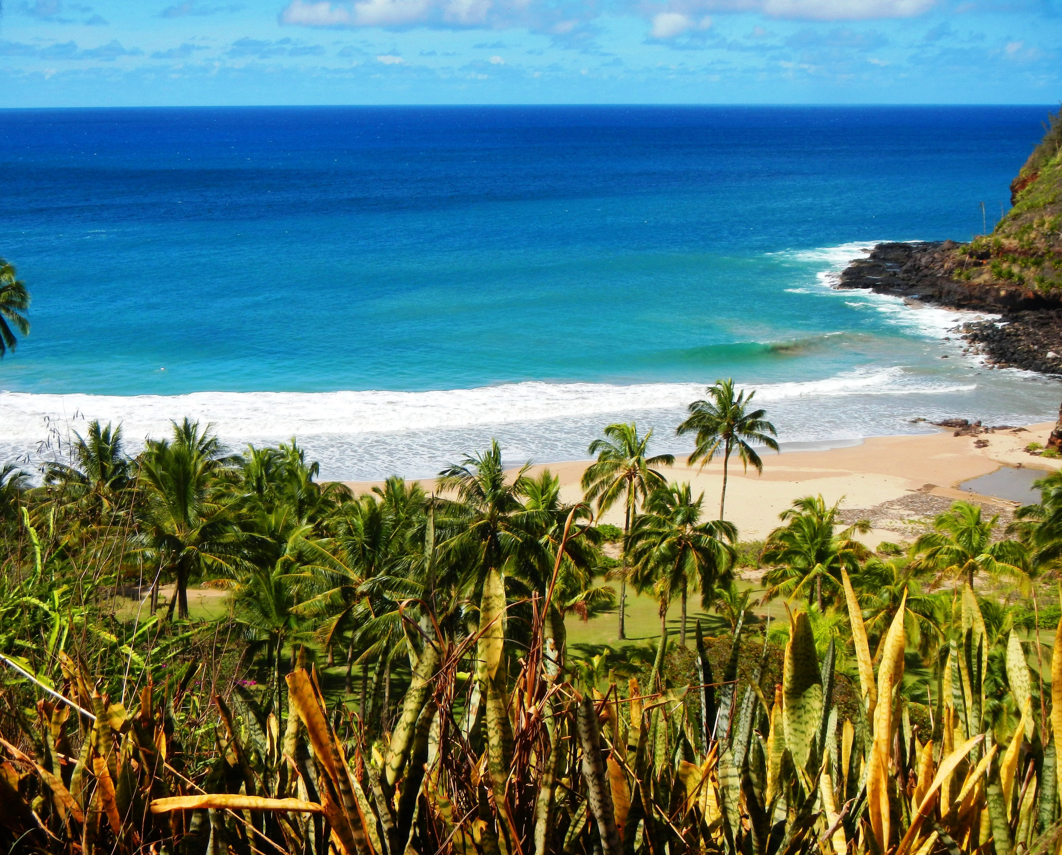
Photo Credit: A Goeller
| Shores |
Today |
Tuesday |
| Surf |
Surf |
| AM |
PM |
AM |
PM |
| North Facing |
7-9 |
5-8 |
3-5 |
3-5 |
| West Facing |
5-8 |
4-7 |
2-4 |
2-4 |
| South Facing |
4-6 |
4-6 |
4-6 |
3-5 |
| East Facing |
1-3 |
1-3 |
1-3 |
1-3 |
TODAY
| Weather |
Mostly sunny. Isolated showers. |
| High Temperature |
In the mid 80s. |
| Winds |
East winds 5 to 10 mph. |
| Tides |
| Hanalei Bay |
Low 0.6 feet 10:24 AM HST. |
| High 1.0 feet 02:53 PM HST. |
| Nawiliwili |
Low 0.6 feet 11:46 AM HST. |
| High 0.9 feet 03:54 PM HST. |
|
| Sunrise |
6:40 AM HST. |
| Sunset |
6:02 PM HST. |
TONIGHT
| Weather |
Partly cloudy. Isolated showers. |
| Low Temperature |
Around 70. |
| Winds |
East winds around 5 mph, becoming
southwest after midnight. |
| Tides |
| Hanalei Bay |
Low -0.1 feet 08:27 PM HST. |
| High 2.5 feet 04:33 AM HST. |
| Nawiliwili |
Low -0.1 feet 09:49 PM HST. |
| High 2.3 feet 05:34 AM HST. |
|
TUESDAY
| Weather |
Mostly sunny. Isolated showers. |
| High Temperature |
In the mid 80s. |
| Winds |
Southwest winds around 5 mph, becoming
east in the afternoon. |
| Tides |
| Hanalei Bay |
Low 0.6 feet 11:38 AM HST. |
| High 0.8 feet 03:15 PM HST. |
| Nawiliwili |
Low 0.6 feet 01:00 PM HST. |
| High 0.7 feet 04:16 PM HST. |
|
| Sunrise |
6:41 AM HST. |
| Sunset |
6:02 PM HST. |
Swell Summary
Surf produced by the current north-northwest swell will gradually lower along exposed north and west facing shores from later today through Tuesday. A new north-northwest swell arriving late Wednesday may produce a modest increase in surf along exposed north and west facing shores from Wednesday night into Thursday. This swell will gradually lower from Thursday night through Friday. The current south swell will maintain modest surf along south facing shores today, with a gradual decline from late Tuesday through Wednesday. A small, long- period southwest swell arriving Thursday combined with swell sources from the south and south-southeast will likely maintain small surf along south facing shores from Friday into next weekend. Elsewhere, surf along east facing shores will remain small due to the lack of a significant fetch of trade winds upstream of the islands.
ARTICLE CONTINUES BELOW AD ARTICLE CONTINUES BELOW AD Data Courtesy of NOAA.gov and SwellInfo.com


