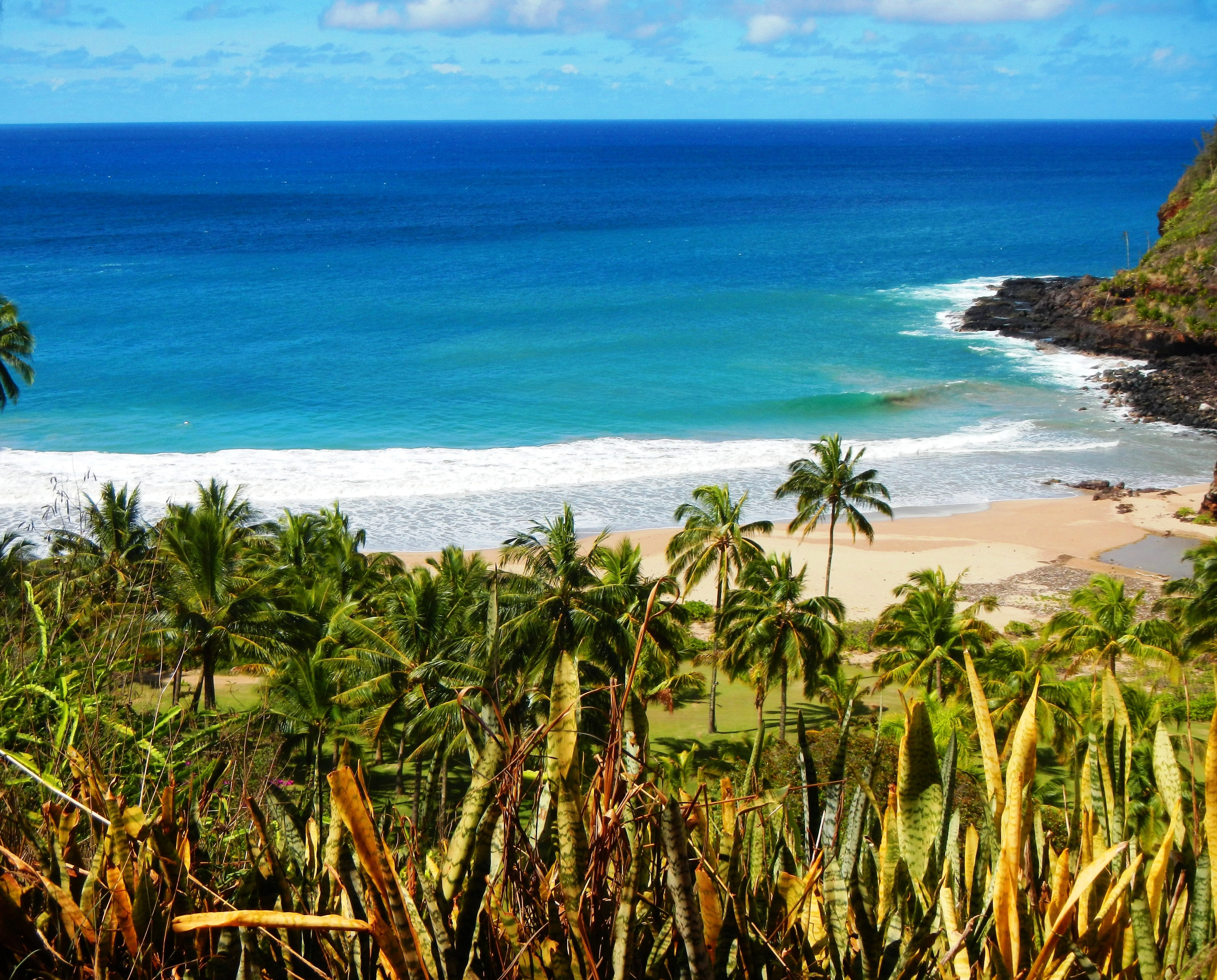
Photo Credit: A Goeller
| Shores |
Today |
Friday |
| Surf |
Surf |
| AM |
PM |
AM |
PM |
| North Facing |
6-8 |
7-10 |
8-12 |
8-12 |
| West Facing |
5-7 |
6-8 |
7-10 |
7-10 |
| South Facing |
2-4 |
2-4 |
1-3 |
1-3 |
| East Facing |
2-4 |
2-4 |
2-4 |
2-4 |
TODAY
| Weather |
Mostly sunny. Isolated showers. |
| High Temperature |
In the mid 80s. |
| Winds |
East winds around 10 mph. |
| Tides |
| Hanalei Bay |
Low 0.4 feet 06:53 AM HST. |
| High 1.8 feet 01:26 PM HST. |
| Nawiliwili |
Low 0.4 feet 08:15 AM HST. |
| High 1.6 feet 02:27 PM HST. |
|
| Sunrise |
6:32 AM HST. |
| Sunset |
6:16 PM HST. |
TONIGHT
| Weather |
Partly cloudy. Isolated showers. |
| Low Temperature |
In the lower 70s. |
| Winds |
Southeast winds around 5 mph. |
| Tides |
| Hanalei Bay |
Low 0.2 feet 07:17 PM HST. |
| High 1.8 feet 02:05 AM HST. |
| Nawiliwili |
Low 0.2 feet 08:39 PM HST. |
| High 1.6 feet 03:06 AM HST. |
|
FRIDAY
| Weather |
Mostly sunny. Isolated showers. |
| High Temperature |
In the mid 80s. |
| Winds |
East winds 5 to 10 mph. |
| Tides |
| Hanalei Bay |
Low 0.4 feet 07:34 AM HST. |
| High 1.6 feet 01:49 PM HST. |
| Nawiliwili |
Low 0.5 feet 08:56 AM HST. |
| High 1.5 feet 02:50 PM HST. |
|
| Sunrise |
6:33 AM HST. |
| Sunset |
6:15 PM HST. |
Swell Summary
The current medium-period northwest swell will produce small to moderate surf along exposed north and west facing shores during the next couple of days. A moderate, long-period north-northwest swell arriving Saturday is expected to maintain moderate surf along most north and west facing shores from this weekend into early next week. A much larger, long-period northwest swell may reach the islands next Tuesday. Modest surf is expected to persist along south facing shores the rest of this week due to a series of south to south-southwest swells. A long-period south-southwest swell may arrive in the islands Monday, which could produce slightly above average surf along south facing shores early next week. Elsewhere, the weakening trade winds will result in diminishing surf along east facing shores, with nearly flat conditions possible along east facing shores this weekend.
ARTICLE CONTINUES BELOW AD ARTICLE CONTINUES BELOW AD Data Courtesy of NOAA.gov and SwellInfo.com


