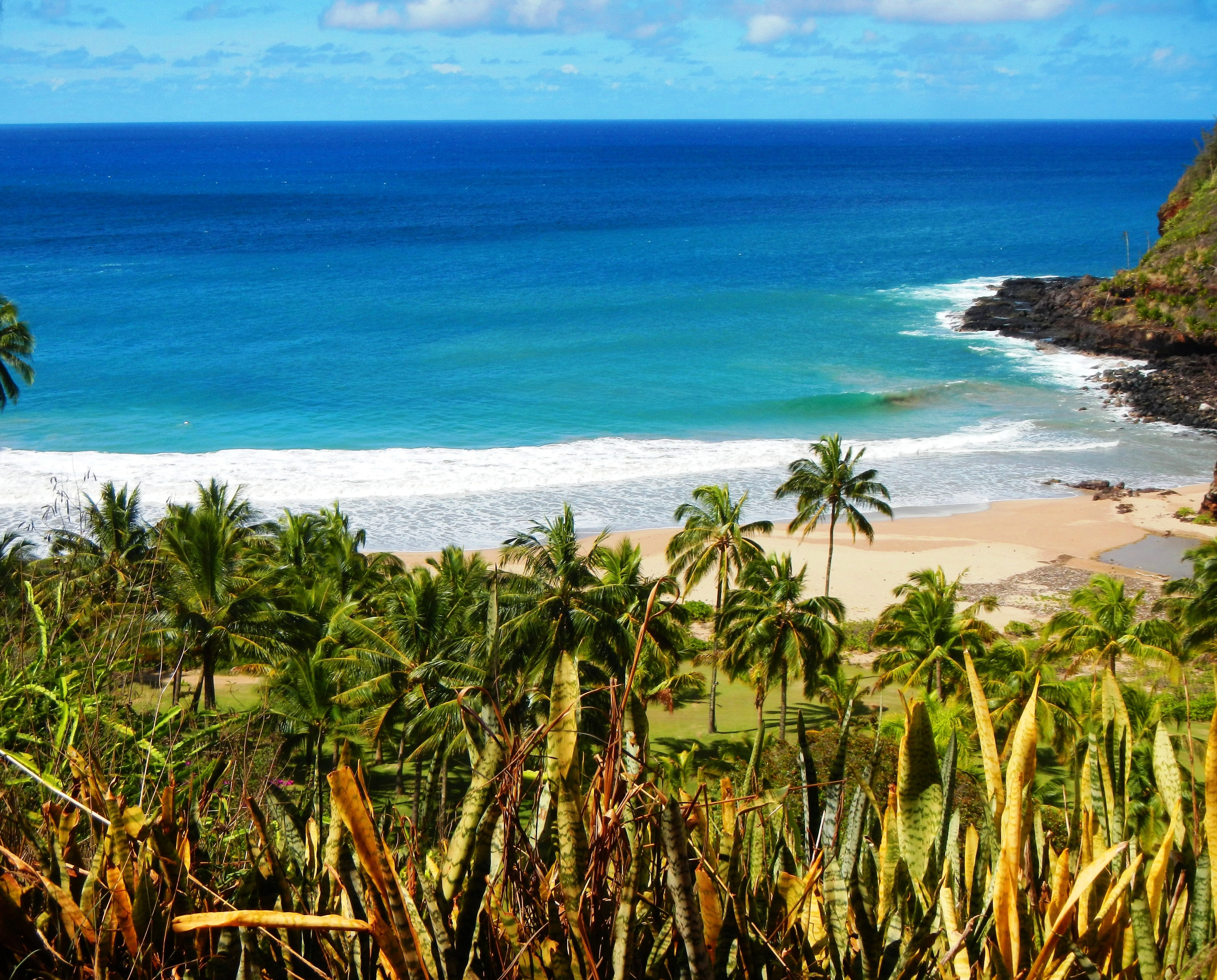
Photo Credit: A Goeller
| Shores |
Today |
Sunday |
| Surf |
Surf |
| AM |
PM |
AM |
PM |
| North Facing |
1-3 |
1-3 |
3-5 |
5-7 |
| West Facing |
1-3 |
1-3 |
2-4 |
3-5 |
| South Facing |
2-4 |
2-4 |
2-4 |
2-4 |
| East Facing |
3-5 |
3-5 |
3-5 |
2-4 |
TODAY
| Weather |
Mostly cloudy until 12 PM, then mostly
sunny. Showers likely. |
| High Temperature |
In the upper 80s. |
| Winds |
East winds 10 to 15 mph. |
| Tides |
| Hanalei Bay |
Low 0.4 feet 09:02 AM HST. |
| High 1.6 feet 03:08 PM HST. |
| Nawiliwili |
Low 0.5 feet 10:24 AM HST. |
| High 1.5 feet 04:09 PM HST. |
|
| Sunrise |
6:28 AM HST. |
| Sunset |
6:27 PM HST. |
TONIGHT
| Weather |
Mostly cloudy. Scattered showers. |
| Low Temperature |
In the mid 70s. |
| Winds |
East winds 10 to 15 mph. |
| Tides |
| Hanalei Bay |
Low 0.0 feet 08:48 PM HST. |
| High 2.2 feet 04:09 AM HST. |
| Nawiliwili |
Low 0.0 feet 10:10 PM HST. |
| High 2.1 feet 05:10 AM HST. |
|
SUNDAY
| Weather |
Mostly sunny. Isolated showers. |
| High Temperature |
In the upper 80s. |
| Winds |
East winds 10 to 15 mph. |
| Tides |
| Hanalei Bay |
Low 0.6 feet 10:01 AM HST. |
| High 1.4 feet 03:36 PM HST. |
| Nawiliwili |
Low 0.6 feet 11:23 AM HST. |
| High 1.3 feet 04:37 PM HST. |
|
| Sunrise |
6:29 AM HST. |
| Sunset |
6:26 PM HST. |
Swell Summary
A pair of northern Pacific systems moving south of the Aleutian Islands and into the Gulf of Alaska the next several days will produce a couple of north to northwest swells that will reach the islands Sunday and fill in Monday and then again Tuesday into Wednesday. This will result in heightened north and west-facing shore surf well into next week. The first near four foot, medium period northwest swell is timed to fill in during the day on Sunday. This swell should peak Sunday night and Monday surf to or above head high and then slowly fall through Tuesday. A slightly larger, medium period more northwest-turning-north swell is expected to reach the islands and fill in from late Tuesday through early Thursday. This swell will reinforce these head to over head high surf heights from mid to late week.
ARTICLE CONTINUES BELOW AD ARTICLE CONTINUES BELOW AD East-facing short period wind wave chop will significantly fall next week as east trades disappear and light or gentle breezes become the new wind regime. South-facing shore surf will remain around waist high through early next week. There may be a slight bump in southeast low period swell, mixed into weekend background south swell, that originated from a small fetch region far southeast of the island chain. This may lift surf from chest to near head high along more southeastern exposures from Sunday into mid week.
Data Courtesy of NOAA.gov and SwellInfo.com


