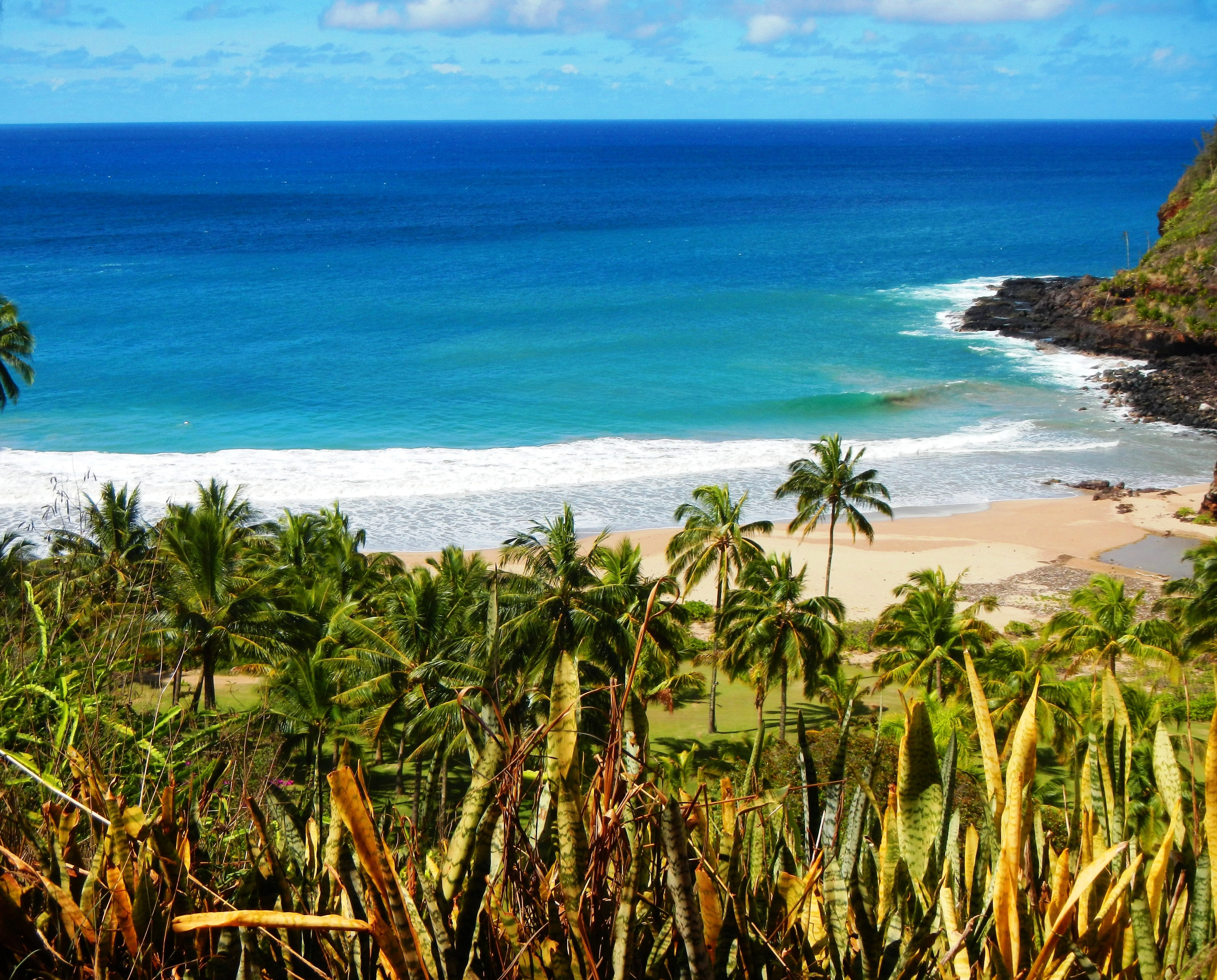
Photo Credit: A Goeller
| Shores |
Today |
Wednesday |
| Surf |
Surf |
| AM |
PM |
AM |
PM |
| North Facing |
2-4 |
2-4 |
2-4 |
2-4 |
| West Facing |
1-3 |
1-3 |
1-3 |
1-3 |
| South Facing |
1-3 |
2-4 |
2-4 |
2-4 |
| East Facing |
3-5 |
3-5 |
3-5 |
3-5 |
TODAY
| Weather |
Cloudy. Numerous showers with isolated
thunderstorms. |
| High Temperature |
In the lower 80s. |
| Winds |
South winds 5 to 10 mph. |
|
|
| Sunrise |
6:33 AM HST. |
| Sunset |
6:51 PM HST. |
TONIGHT
| Weather |
Mostly cloudy. Occasional showers with
isolated thunderstorms. |
| Low Temperature |
Around 70. |
| Winds |
Southeast winds around 10 mph. |
|
|
WEDNESDAY
| Weather |
Mostly cloudy. Numerous showers with
isolated thunderstorms. |
| High Temperature |
In the lower 80s. |
| Winds |
South winds 10 to 15 mph. |
| Tides |
| Hanalei Bay |
Low 0.2 feet 06:53 AM HST. |
| High 0.3 feet 10:39 AM HST. |
| Low 0.2 feet 02:06 PM HST. |
| Nawiliwili |
Low 0.2 feet 08:15 AM HST. |
| High 0.3 feet 11:40 AM HST. |
| Low 0.2 feet 03:28 PM HST. |
|
| Sunrise |
6:32 AM HST. |
| Sunset |
6:52 PM HST. |
Swell Summary
The small, medium period northwest (310 degree) swell that peaked earlier Monday will be gradually subsiding through the day. A similar size, medium period northwest (320 degree) swell will arrive Thursday. This swell will only pick up north and west-facing shore surf by a foot or two as it peaks Thursday night and then falls through Friday. Elevated wind wave chop along eastern exposures generated from a large source region of moderate trades upstream of the islands will persist the next few days. Very small early to mid week bumps along southwest and southeast shores, from either background energy moving in from the Southern Hemisphere (190-210 degree) or from trade wind swell wrap (040-130 degree), respectively, will keep south-facing shore surf around waist high, at best. The combination of the shorter period trade swell and the longer period background south swell will sustain slightly higher surf heights along many eastern and southern Big Island exposures the next few days.
ARTICLE CONTINUES BELOW AD ARTICLE CONTINUES BELOW AD Data Courtesy of NOAA.gov and SwellInfo.com


