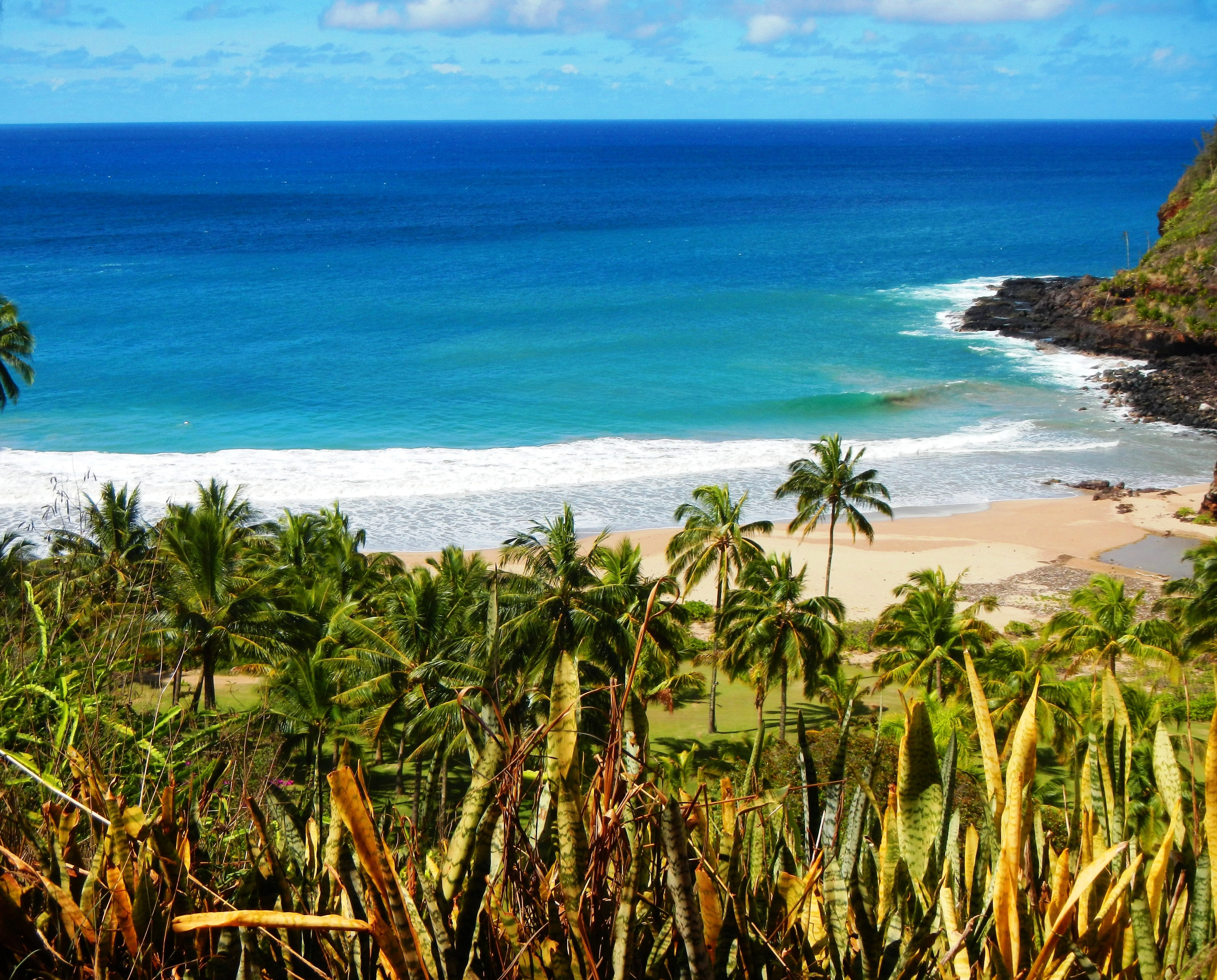
Photo Credit: A Goeller
| Shores |
Today |
Sunday |
| Surf |
Surf |
| AM |
PM |
AM |
PM |
| North Facing |
4-6 |
4-6 |
4-6 |
7-10 |
| West Facing |
2-4 |
2-4 |
2-4 |
4-6 |
| South Facing |
1-3 |
1-3 |
1-3 |
1-3 |
| East Facing |
10-15 |
10-15 |
8-12 |
8-12 |
TODAY
| Weather |
Partly sunny. Showers likely. |
| High Temperature |
In the upper 70s. |
| Winds |
East winds 15 to 20 mph. |
| Tides |
| Hanalei Bay |
Low 0.0 feet 11:55 AM HST. |
| Nawiliwili |
High 1.1 feet 06:19 AM HST. |
| Low 0.0 feet 01:17 PM HST. |
|
| Sunrise |
7:12 AM HST. |
| Sunset |
6:32 PM HST. |
TONIGHT
| Weather |
Mostly cloudy. Scattered showers. |
| Low Temperature |
In the upper 60s. |
| Winds |
East winds around 15 mph. |
| Tides |
| Hanalei Bay |
High 1.3 feet 07:51 PM HST. |
| Low 0.7 feet 01:03 AM HST. |
| High 1.0 feet 05:21 AM HST. |
| Nawiliwili |
High 1.2 feet 08:52 PM HST. |
| Low 0.8 feet 02:25 AM HST. |
|
SUNDAY
| Weather |
Partly sunny. Scattered showers. |
| High Temperature |
In the upper 70s. |
| Winds |
East winds 15 to 20 mph. |
| Tides |
| Hanalei Bay |
Low 0.0 feet 12:33 PM HST. |
| Nawiliwili |
High 0.9 feet 06:22 AM HST. |
| Low 0.0 feet 01:55 PM HST. |
|
| Sunrise |
7:11 AM HST. |
| Sunset |
6:32 PM HST. |
Swell Summary
Large and rough surf will continue to affect east facing shores through the weekend, with only slight improvement expected early next week as the trade winds ease a bit over and upstream of the islands. A High Surf Warning remains posted through late this afternoon, which should lower to advisory levels tonight and Sunday. East shore surf will likely hold near or above advisory thresholds through late next week.
ARTICLE CONTINUES BELOW AD ARTICLE CONTINUES BELOW AD The current north swell will subside through the weekend. A long period northwest swell will build Sunday and peak Sunday night into Monday near or just below advisory levels along north and west facing shores. This swell will decline Monday night and Tuesday, with a new long period northwest swell building Wednesday, peaking below advisory levels Wednesday night into Thursday, then gradually lowering Thursday night into next weekend.
Data Courtesy of NOAA.gov and SwellInfo.com


