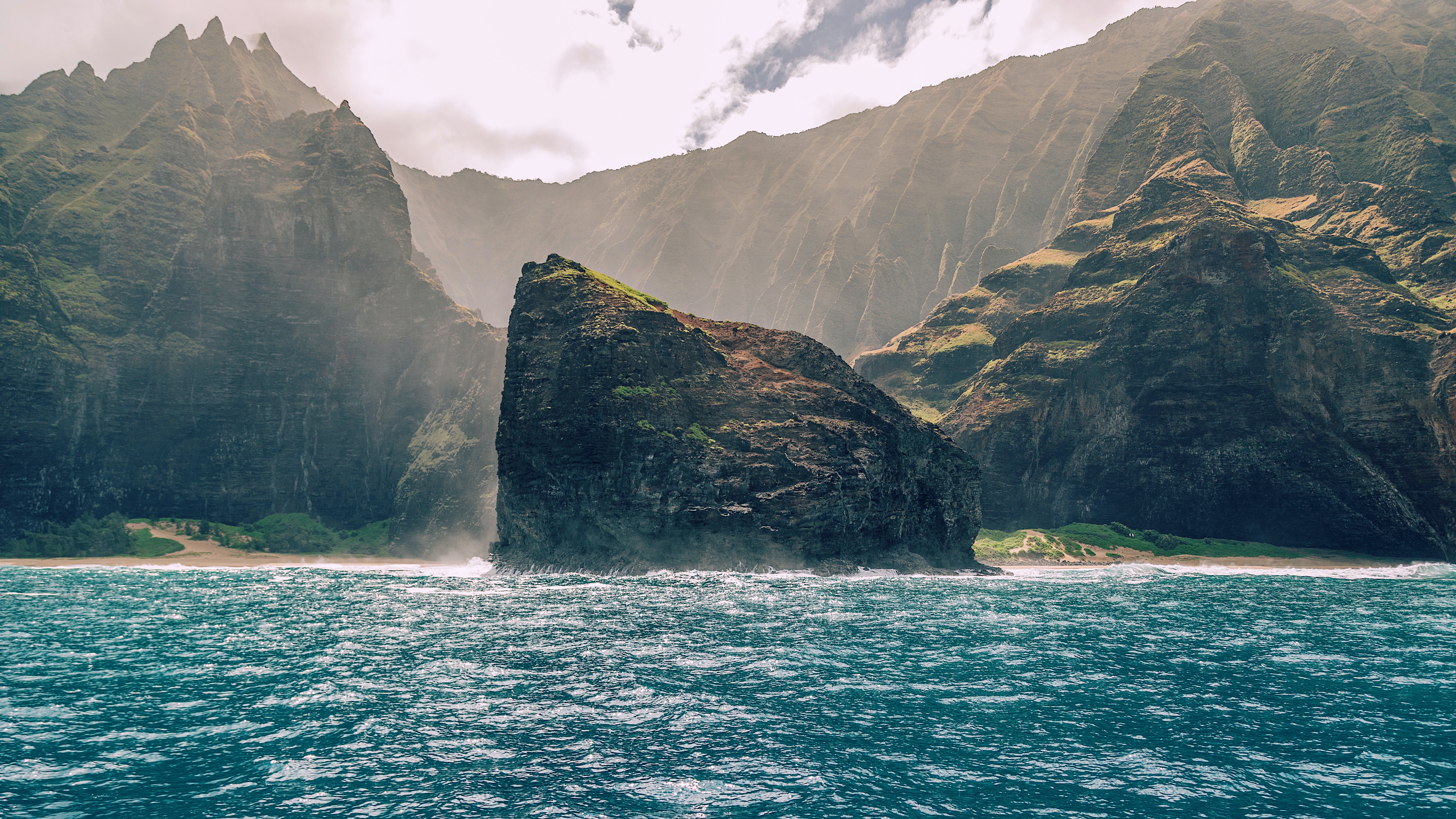
Photo Credit: Sebastian Gabriel
| Shores |
Today |
Saturday |
| Surf |
Surf |
| AM |
PM |
AM |
PM |
| North Facing |
15-20 |
15-20 |
8-12 |
8-12 |
| West Facing |
10-15 |
10-15 |
6-8 |
6-8 |
| South Facing |
1-3 |
1-3 |
1-3 |
1-3 |
| East Facing |
1-3 |
1-3 |
1-3 |
1-3 |
TODAY
| Weather |
Mostly sunny until 12 PM, then mostly
cloudy. Hazy. Scattered showers. |
| High Temperature |
Around 80. |
| Winds |
South winds 10 to 15 mph. |
| Tides |
| Hanalei Bay |
Low 0.2 feet 09:10 AM HST. |
| High 0.6 feet 01:20 PM HST. |
| Nawiliwili |
Low 0.3 feet 10:32 AM HST. |
| High 0.5 feet 02:21 PM HST. |
|
| Sunrise |
7:18 AM HST. |
| Sunset |
6:18 PM HST. |
TONIGHT
| Weather |
Mostly cloudy. Scattered showers. |
| Low Temperature |
In the upper 60s. |
| Winds |
South winds around 10 mph. |
| Tides |
| Hanalei Bay |
Low -0.5 feet 06:45 PM HST. |
| High 2.6 feet 02:55 AM HST. |
| Nawiliwili |
Low -0.5 feet 08:07 PM HST. |
| High 2.5 feet 03:56 AM HST. |
|
SATURDAY
| Weather |
Mostly cloudy. Numerous showers. |
| High Temperature |
In the upper 70s. |
| Winds |
South winds 5 to 10 mph. |
| Tides |
| Hanalei Bay |
Low 0.2 feet 09:42 AM HST. |
| High 0.6 feet 02:15 PM HST. |
| Nawiliwili |
Low 0.2 feet 11:04 AM HST. |
| High 0.6 feet 03:16 PM HST. |
|
| Sunrise |
7:18 AM HST. |
| Sunset |
6:18 PM HST. |
Swell Summary
A northwest swell will boost surf heights to advisory threshold across exposed north and west facing shores today and tonight. A High Surf Advisory remains in effect for exposed north and west facing shores through tonight. This swell will dip below advisory levels Saturday. A dangerous, extra large, long period northwest swell is expected to rapidly fill in Saturday night, peak Sunday, then slowly decline Monday through mid-week next week. Surf heights will be well above warning thresholds and may produce giant surf, over 40 feet during the peak of the swell along north facing exposures and near 30 feet or west facing exposures of the smaller islands. Rising seas due to this swell will likely meet SCA criteria Saturday night. In addition, the combination of rising surf and high tides from the new moon during the very early morning hours Saturday and Sunday will likely impact coastal properties and infrastructure, including roadways near the shorelines.
ARTICLE CONTINUES BELOW AD ARTICLE CONTINUES BELOW AD Background south swell energy is expected through Saturday. A new small long-period south swell could give south shore surf a minor boost Sunday through early next week. Surf along east facing shores will remain small due to the lack of trade winds over and upstream of the islands, but will gradually pick up Sunday into early next week as trades return and we may see another boost due to wrap from the extra large northwest swell.
Data Courtesy of NOAA.gov and SwellInfo.com


