

Photo Credit: Sebastien Gabriel
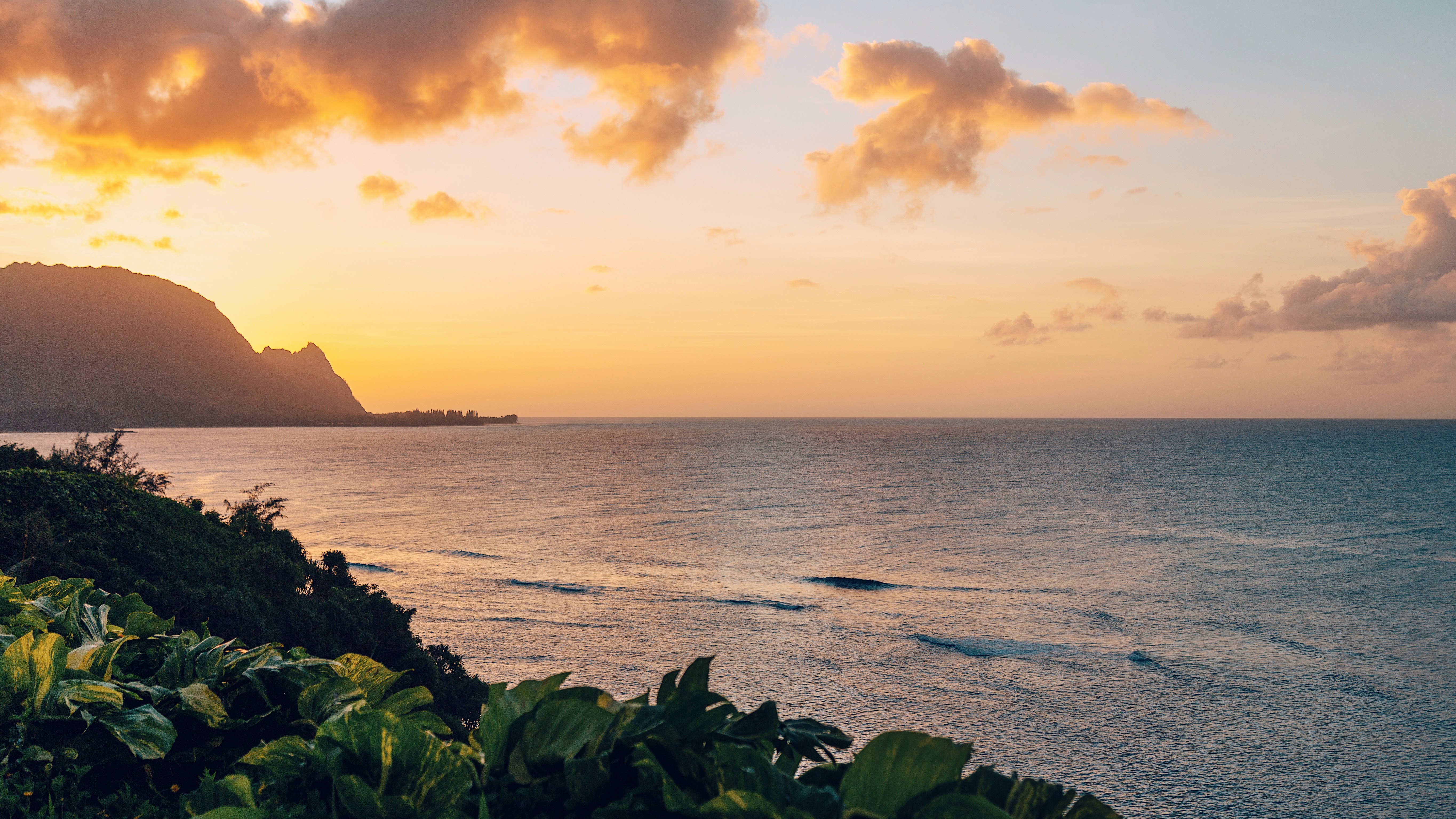
West Kaua’i
Today: Mostly sunny. Isolated showers in the morning. Highs around 82 near the shore to around 70 above 3000 feet. Northeast winds up to 10 mph shifting to the southeast in the afternoon. Chance of rain 20 percent.
Tonight: Partly cloudy. Isolated showers after midnight. Lows around 66 near the shore to around 55 above 3000 feet. Light winds. Chance of rain 20 percent.
Martin Luther King Jr Day: Mostly sunny with isolated showers. Haze. Highs around 81 near the shore to around 69 above 3000 feet. Light winds. Chance of rain 20 percent.
South Kaua’i
Today: Mostly sunny with isolated showers. Highs around 81. Northeast winds around 10 mph. Chance of rain 20 percent.
Tonight: Partly cloudy with isolated showers. Lows 62 to 67. Northeast winds around 10 mph. Chance of rain 20 percent.
Martin Luther King Jr Day: Mostly sunny with isolated showers. Haze. Highs around 80. Light winds. Chance of rain 20 percent.
Kaua’i Mountains
Today: Mostly sunny in the morning then becoming partly sunny. Isolated showers. Highs 69 to 77 in the valleys to around 64 above 4000 feet. East winds up to 10 mph. Chance of rain 20 percent.
Tonight: Mostly cloudy. Scattered showers in the evening, then isolated showers after midnight. Lows 55 to 60 in the valleys to around 49 above 4000 feet. Light winds. Chance of rain 40 percent.
Martin Luther King Jr Day: Mostly sunny. Isolated showers in the morning, then scattered showers in the afternoon. Haze through the day. Highs 68 to 76 in the valleys to around 63 above 4000 feet. Light winds. Chance of rain 30 percent.
North Kaua’i
Today: Mostly sunny in the morning then becoming partly sunny. Isolated showers. Highs 74 to 81. Southeast winds up to 10 mph. Chance of rain 20 percent.
Tonight: Mostly cloudy with isolated showers. Lows 58 to 67. Southeast winds up to 10 mph in the evening becoming light. Chance of rain 20 percent.
Martin Luther King Jr Day: Mostly sunny. Isolated showers in the morning, then scattered showers in the afternoon. Haze through the day. Highs 73 to 80. Light winds. Chance of rain 30 percent.
East Kaua’i
Today: Partly sunny with isolated showers. Highs 74 to 81. Northeast winds up to 10 mph. Chance of rain 20 percent.
Tonight: Mostly cloudy. Isolated showers in the evening, then scattered showers after midnight. Lows 56 to 68. East winds up to 10 mph in the evening becoming light. Chance of rain 30 percent.
Martin Luther King Jr Day: Partly sunny in the morning then becoming mostly sunny. Scattered showers. Haze. Highs 73 to 80. Light winds. Chance of rain 30 percent.
Detailed Forecast
Update
Observations from the buoys northwest of Kauai, as well as the nearshore buoys, show the long-period northwest swell (310 degrees) has remained steady this morning. Therefore, we are reissuing the Small Craft Advisory for seas up to 10 feet for the waters around Kauai. This swell is expected to gradually lower by this evening.
Synopsis
Rather dry conditions will continue through Tuesday, with showers limited primarily to windward slopes and coasts at night and interior and leeward areas each afternoon. Light to moderate trades will hold through Monday morning, with sea and land breezes becoming common in most areas from Monday afternoon through late in the work week as the trades ease. We should see a slight increase in showers Wednesday through Friday as deep moisture increases over the islands, with a more significant chance for rain expected next weekend as a front approaches from the northwest. A break from the vog is expected across the smaller islands Sunday, although this should be brief, with vog forecast to fill back in over the smaller islands Monday and linger through much of the work week.
Prev discussion
/ISSUED 328 AM HST Sun Jan 15 2023/ Currently at the surface, a 1023 mb high is centered around 750 miles east-northeast of Honolulu, with a nearly stationary front positioned around 450 miles northwest of Kauai. Light to locally moderate trade winds prevail across the island chain early this morning, with land breezes present in some of the more sheltered locations. Infrared satellite imagery shows partly cloudy skies in most areas, with a bit more cloud cover in some windward locales. Radar imagery shows a few light showers moving into windward areas, with little if any shower activity elsewhere. Main short term focus revolves around rain chances and trade wind trends during the next couple days.
High pressure east-northeast of the state will hold nearly stationary through early Monday, keeping light to moderate trade winds in place with localized land and sea breezes in the more sheltered leeward areas. The high will begin to weaken late Monday and Monday night, with a weak pressure pattern then holding in place over the islands through Thursday. Light trade winds may hold on near the Big Island during this time, while sea and land breezes become common over the rest of the island chain. High pressure strengthening northeast of the state and an approaching cold front to the northwest is forecast to bring an increase in southeast to south winds Friday into next weekend.
As for the remaining weather details, very dry conditions will continue today with precipitable water values holding at or below 1 inch and inversion heights remaining no higher than 6,000 feet. Any light showers that do develop will remain confined to windward slopes and coasts, with perhaps an isolated shower developing this afternoon over leeward Big Island. Only minor changes are then expected tonight through Tuesday, although inversion heights will rise slightly and PW values will increase a bit. Overall, rain chances will remain low and confined to windward slopes and coasts during the night and morning hours, with perhaps a shower or two developing over the island interiors each afternoon. Lowering upper level heights will lead to an increase in inversion heights and PW values around mid week, bringing a slight increase in showers to the state. Showers will continue to favor windward slopes and coasts at night and during the morning hours, and interior and leeward areas each afternoon. A more significant increase in showers is possible next weekend as a cold front approaches from the northwest.
A brief decrease in vog is expected over the smaller islands today as the trade winds peak, pushing the vog plume westward. This appears to be short lived however as increasing boundary layer (1000 to 850 mb) winds shift southeasterly tonight, bringing the vog back northward over the smaller islands again Monday through the middle of the work week.
Aviation
A weak high pressure system building north of the islands will bring a brief return to moderate trade winds today. Daytime sea breezes will linger along western slopes of all islands. Isolated showers are possible over windward mountains and slopes today as trade winds return. Winds will diminish to light and variable by late Monday.
No AIRMETs are currently in effect.
Marine
The current long-period northwest swell (310 degrees) has been lowering early this morning. Therefore, the Small Craft Advisory (SCA) due to seas has been cancelled for the waters surrounding Kauai. A surface high pressure system is centered less than 600 nm northeast of Hilo. A surface ridge extends west from this feature through a point about 180 nm north of Lihue. The relatively tight pressure gradient south of these features is causing the trade winds to strengthen slightly, especially in the vicinity of the eastern islands. Therefore, the SCA for locally strong trade winds has been updated to include all of the waters surrounding the Big Island, as well as Maalaea Bay and the Pailolo Channel through this afternoon. A front moving toward the region will likely cause the trade winds to weaken from tonight through Monday. We currently do not anticipate SCA conditions in the forecast due to winds or seas from Monday through mid-week.
The large northwest swell described above is producing elevated surf along exposed shorelines. As a result, a High Surf Advisory (HSA) remains in effect for most north and west facing shores of the smaller islands. The HSA has been extended through early Monday morning for the smaller islands. In addition, surf is expected to be near the HSA threshold of 8 feet along west facing shores of the Big Island, so the HSA has been added to those shorelines through this afternoon. Expect moderate northwest swell energy (320 degrees) from Tuesday into Thursday. A new large, long-period northwest swell (320 degrees) may arrive late Thursday night or Friday.
A small, long period south-southwest swell (200 degrees) is expected to continue to produce small surf along most south facing shores today. This swell will gradually lower from Monday through Tuesday. Surf along east facing shores will likely remain small this week due to the trades being relatively weak near, and upstream of the islands.
HFO Watches/Warnings/Advisories
High Surf Advisory until 6 AM HST Monday for Niihau, Kauai Leeward, Waianae Coast, Oahu North Shore, Maui Windward West, Kauai North, Molokai Windward, Molokai North, Molokai West, Maui Central Valley North, Windward Haleakala.
High Surf Advisory until 6 PM HST this evening for Kona, Kohala.
Small Craft Advisory until 6 PM HST this evening for Kauai Northwest Waters, Kauai Windward Waters, Kauai Leeward Waters, Kauai Channel, Maalaea Bay, Pailolo Channel, Alenuihaha Channel, Big Island Windward Waters, Big Island Leeward Waters, Big Island Southeast Waters.
Data Courtesy of NOAA.gov
