

Photo Credit: Jason Weingardt
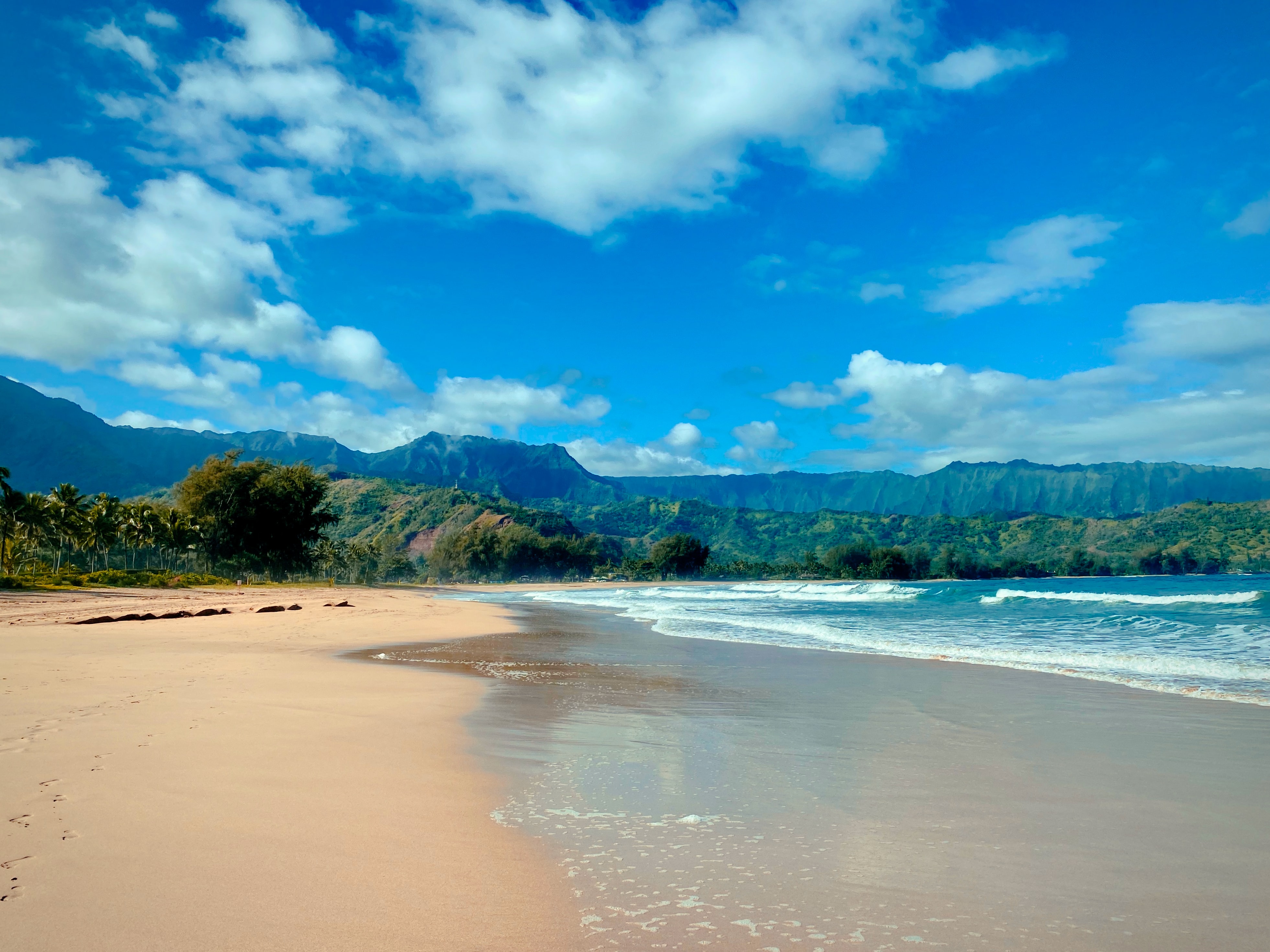
West Kaua’i
Today: Sunny. Highs around 83 near the shore to around 73 above 3000 feet. East winds up to 10 mph shifting to the south in the afternoon.
Tonight: Mostly clear. Lows 62 to 67 near the shore to around 53 above 3000 feet. Light winds.
Tuesday: Sunny. Highs around 83 near the shore to around 73 above 3000 feet. Light winds becoming west around 10 mph in the afternoon.
South Kaua’i
Today: Sunny. Highs around 83. Northeast winds up to 10 mph in the morning becoming light.
Tonight: Mostly clear. Lows around 63. Light winds.
Tuesday: Sunny. Highs around 83. Light winds.
Kaua’i Mountains
Today: Mostly sunny. Highs around 77 in the valleys to around 68 above 4000 feet. Light winds.
Tonight: Mostly clear. Lows 54 to 61 in the valleys to around 51 above 4000 feet. Light winds.
Tuesday: Mostly sunny. Highs around 77 in the valleys to around 67 above 4000 feet. Light winds becoming west up to 10 mph in the afternoon.
North Kaua’i
Today: Sunny. Highs 75 to 81. Light winds.
Tonight: Mostly clear. Lows 57 to 66. Light winds.
Tuesday: Sunny. Highs 75 to 81. West winds up to 10 mph.
East Kaua’i
Today: Sunny. Highs 75 to 83. Light winds becoming south up to 10 mph in the afternoon.
Tonight: Mostly clear. Lows 55 to 67. Light winds.
Tuesday: Mostly sunny. Highs 75 to 84. Light winds becoming west up to 10 mph in the afternoon.
Detailed Forecast
Synopsis
An upper level ridge over the islands will keep light winds in the forecast with land and sea breezes through Tuesday. Dry air aloft will produce cooler than normal early morning temperatures. A weak cold front sweeps down the island chain from late Tuesday night through Wednesday, producing a brief period of clouds and showers as it moves through each island. A brief increase in trade winds will also develop behind the front as it passes, lasting through early Thursday morning. Another cold front approaching the islands from the northwest will produce another round of stable light and variable winds from Thursday into the weekend.
Discussion
Expect very dry and stable conditions to continue under the influence of an upper level ridge located directly over the Hawaiian Islands. Temperature inversion heights will continue to range between 3,000 and 5,000 feet through Tuesday. Downward moving air above this thermal inversion will produce very dry and stable conditions aloft, capping vertical cloud development and allowing a more rapid transfer of surface heat into outer space during the overnight hours. Therefore, expect cooler than normal early morning temperatures to last through Tuesday.
Low pressure systems will continue to pass north of the region with little change to this stable forecast through Tuesday. Light winds will allow local scale sea breezes to develop each day with land breezes at night.
The next best chance for rainfall will occur from late Tuesday night through Wednesday, as a weak cold front moves swiftly down the island chain. A brief period of clouds and showers will start near Kauai and Oahu through early Wednesday morning, reaching the islands in Maui County around noon, and then finally moving into the Big Island from late Wednesday afternoon to evening. Light to moderate trade winds will then briefly fill in as the front passes through each island. Another round of light winds returns from Thursday into the weekend as another cold front approaches the state from the northwest.
Aviation
Early this morning, a shallow broken cloud deck at roughly 3,000-4,000 feet remains trapped underneath a strong inversion across windward sections of both Kauai and the Big Island. Therefore, AIRMET Sierra for tempo mountain obscuration remains in effect for these areas but has been cancelled for the remaining islands where skies have cleared.
Today, expect dry and stable conditions to continue across the state as the island chain remains under a ridge aloft. Light to moderate background winds will veer southeastward during the day today but will weaken to become light and variable tonight through Tuesday. The light winds will allow for localized afternoon sea breezes and overnight land breezes for the next couple of days.
Marine
A weak cold front approaching from the northwest will cause winds to veer southeasterly today into early Tuesday. The front is forecast to dissipate as it moves SE down the island chain, bringing an increase in showers Tuesday night through Wednesday. Trade winds will also increase as they fill in behind the front on Wednesday. Winds will again taper off Thursday into Friday as a stronger and slower-moving front approaches from the west.
A NW (320 degrees) swell will peak today and hold through tonight. Surf along exposed north and west-facing shores will be near High Surf Advisory (HSA) levels through tonight, but is expected to remain just below that threshold. A much larger NNW (330 degrees) swell is forecast to arrive Tuesday night into Wednesday with surf likely surpassing High Surf Warning level through Thursday. A Small Craft Advisory (SCA) is likely around this time as well, due to the presence of the swell and winds strengthening along and behind the front. A series of very small, medium to long-period S (190 degrees) swells may provide some small bumps in south shore surf through early next week. Surf along east facing shores will remain small except for a brief boost on Wednesday with the increase in trades.
HFO Watches/Warnings/Advisories
None.
Data Courtesy of NOAA.gov
