

This story was updated at 3:58 p.m. Dec. 18.
The National Weather Service in Honolulu has issued a flood watch and high wind warning for the entire state, including Kaua‘i, as a strong Kona low storm system approaches Hawai‘i.

A flood watch is in effect for the entire state from this morning through late Monday night as a strong Kona low storm system approaches the islands.
The weather agency says to expect periods of heavy showers and thunderstorms through Monday night. Although individual showers will tend to move quickly, intense rain rates and the potential for training cells will lead to increased potential for flash flooding.
Flood-prone roads and other low-lying areas could be closed because of elevated runoff and overflowing streams. Urban areas might receive more significant flooding and property damage because of rapid runoff.
Keep an eye on the weather and be prepared to take action should flash flood warnings be issued.
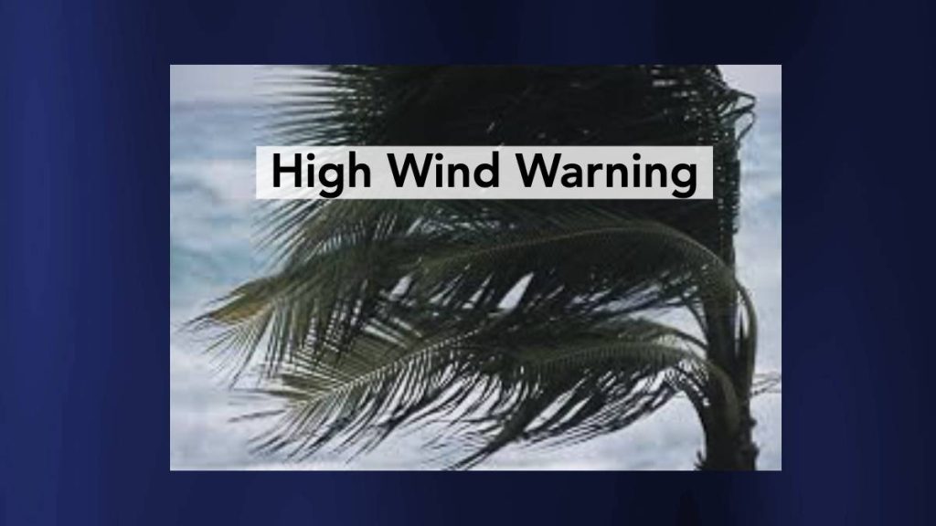
In addition, a high wind warning is in effect for the entire state through 6 p.m. Monday.
Southwest winds of 20 to 40 mph with gusts up to 60 mph are forecast tonight through Monday, especially over and downwind of terrain. Additionally, all areas will be susceptible to strong winds within heavy showers.
Damaging winds could blow down trees and power lines. Widespread power outages are possible, and travel could be difficult.
The strong winds associated with the approaching storm could lead to property damage. Hazardous driving conditions because of powerful cross winds will pose a serious risk
for drivers, especially for lightweight and high-profile vehicles. Loose outdoor items should be brought inside or secured properly.

A high surf advisory is now in effect for the north- and west-facing shores of Kaua‘i and Ni‘ihau until 3 a.m. Monday. A high surf warning will then take over from 3 a.m. Monday to 6 p.m. Tuesday for the same shores.
Dangerously large breaking waves of 25 to 40 feet are forecast. Expect ocean water surging and sweeping across beaches, coastal benches and lava flows, creating the potential for impacts to coastal properties and infrastructure, including roadways. Powerful longshore and rip currents also will be present at most beaches.
The National Weather Service advises staying away from the shoreline along the affected coasts. Be prepared for road closures. Large breaking surf, significant shorebreak and dangerous currents make entering the water very hazardous. Anyone entering the water could face significant injury or death.
