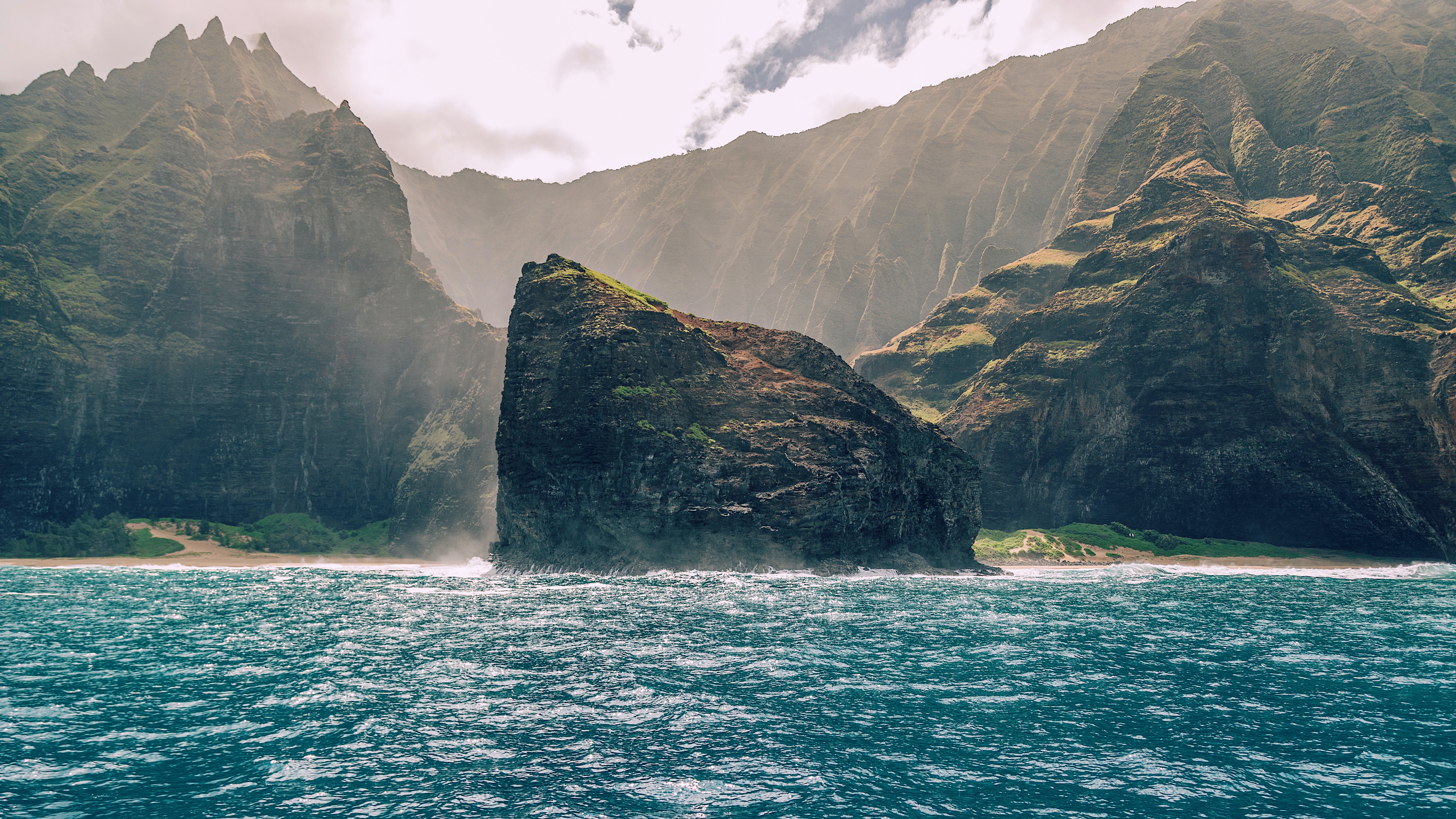
Photo Credit: Sebastian Gabriel
| Shores |
Today |
Friday |
| Surf |
Surf |
| AM |
PM |
AM |
PM |
| North Facing |
20-30 |
20-30 |
18-22 |
15-20 |
| West Facing |
12-16 |
12-16 |
9-12 |
8-12 |
| South Facing |
2-4 |
2-4 |
2-4 |
2-4 |
| East Facing |
7-9 |
7-9 |
5-7 |
5-7 |
TODAY
| Weather |
Mostly sunny. Scattered showers. |
| High Temperature |
In the upper 70s. |
| Winds |
Breezy. Northeast winds around 25 mph. |
| Tides |
| Hanalei Bay |
Low 0.5 feet 10:00 AM HST. |
| High 0.8 feet 02:15 PM HST. |
| Nawiliwili |
Low 0.5 feet 11:22 AM HST. |
| High 0.8 feet 03:16 PM HST. |
|
| Sunrise |
6:54 AM HST. |
| Sunset |
5:53 PM HST. |
TONIGHT
| Weather |
Partly cloudy. Scattered showers. |
| Low Temperature |
In the lower 60s. |
| Winds |
Northeast winds 15 to 20 mph. |
| Tides |
| Hanalei Bay |
Low -0.3 feet 07:50 PM HST. |
| High 2.7 feet 04:04 AM HST. |
| Nawiliwili |
Low -0.3 feet 09:12 PM HST. |
| High 2.5 feet 05:05 AM HST. |
|
FRIDAY
| Weather |
Mostly sunny. Scattered showers. |
| High Temperature |
In the upper 70s. |
| Winds |
Northeast winds 15 to 20 mph. |
| Tides |
| Hanalei Bay |
Low 0.4 feet 11:05 AM HST. |
| High 0.7 feet 02:56 PM HST. |
| Nawiliwili |
Low 0.5 feet 12:27 PM HST. |
| High 0.7 feet 03:57 PM HST. |
|
| Sunrise |
6:55 AM HST. |
| Sunset |
5:53 PM HST. |
Swell Summary
A large north swell is building in today. The peak of this swell will increase surf heights to High Surf Warning (HSW) levels along the north-facing shores of Niihau, Kauai, Oahu, Molokai and Maui. Thus, a HSW is in effect through 0600 HST Friday for all north-facing shores except for Big Island. This HSW may need to be extended in time with the addition of Big Island. This north swell is coming in during a early morning high spring tide both to day and Friday. This increases the probability of significant overwash issues and large wave run up along many north-facing shores through Friday morning. There is a good chance that 8 feet of wave run-up will cause the lower roadways closest to the shore to be overcome by nearshore wash. Areas exposed to north swells on other shorelines will also see a significant rise in surf as the north swell moves in, especially the west-facing shores of more western islands. A High Surf Advisory (HSA) remains in effect for the western shores of Kauai, Oahu and Molokai, along with the north-facing shores of Big island, through 0600 HST Friday.
ARTICLE CONTINUES BELOW AD ARTICLE CONTINUES BELOW AD Storm force winds around the backside of the cut-off low northeast of the islands early Friday will send a second large, medium period north northeast swell into the windward waters Friday night and early Saturday. This swell will keep at least HSA level surf in place along north-facing shores through Saturday and result in a greater impact along Maui and Big Island's north and east-facing shores whereas Big Island's north shore may need to be upgraded to a HSW during this time period.
Surf along east-facing shores will become more choppy and rough as these strong northeasterlies impact the state into Friday, but should stay below HSA levels given the more northerly direction of the winds.
South-facing shores will experience minimal energy for the foreseeable future.
Data Courtesy of NOAA.gov and SwellInfo.com


