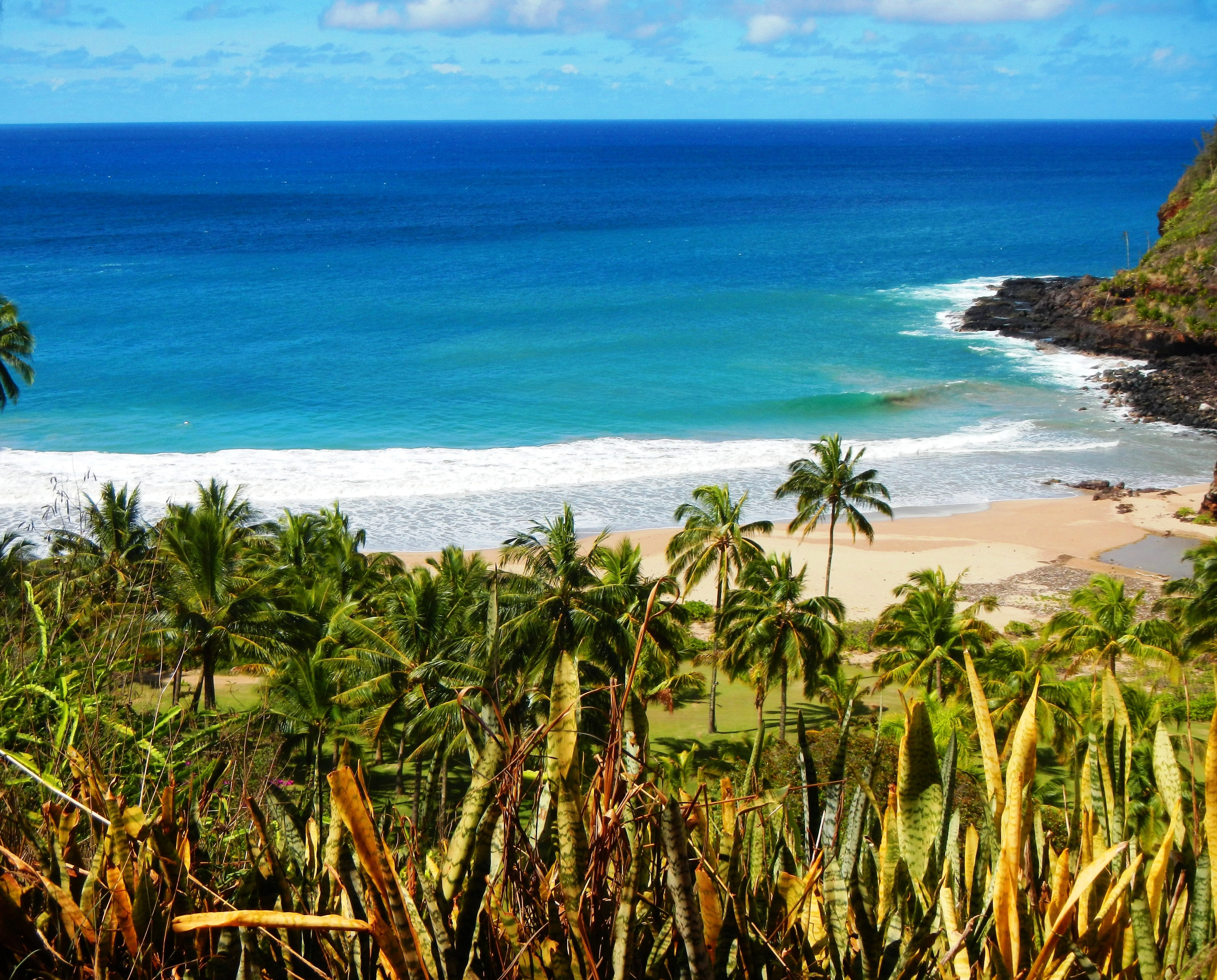
Photo Credit: A Goeller
| Shores |
Today |
Sunday |
| Surf |
Surf |
| AM |
PM |
AM |
PM |
| North Facing |
4-6 |
5-7 |
8-12 |
10-14 |
| West Facing |
2-4 |
2-4 |
5-7 |
6-8 |
| South Facing |
2-4 |
1-3 |
1-3 |
2-4 |
| East Facing |
2-4 |
2-4 |
3-5 |
3-5 |
TODAY
| Weather |
Partly sunny. Scattered showers. |
| High Temperature |
In the lower 80s. |
| Winds |
East winds 10 to 15 mph. |
| Tides |
| Hanalei Bay |
High 1.5 feet 11:14 AM HST. |
| Low 0.1 feet 05:31 PM HST. |
| Nawiliwili |
Low 0.7 feet 06:34 AM HST. |
| High 1.4 feet 12:15 PM HST. |
|
| Sunrise |
6:51 AM HST. |
| Sunset |
5:54 PM HST. |
TONIGHT
| Weather |
Mostly cloudy. Scattered showers. |
| Low Temperature |
Around 70. |
| Winds |
East winds around 10 mph. |
| Tides |
| Hanalei Bay |
High 1.7 feet 12:46 AM HST. |
| Nawiliwili |
Low 0.1 feet 06:53 PM HST. |
| High 1.6 feet 01:47 AM HST. |
|
SUNDAY
| Weather |
Partly sunny. Scattered showers. |
| High Temperature |
In the lower 80s. |
| Winds |
East winds 10 to 15 mph. |
| Tides |
| Hanalei Bay |
Low 0.6 feet 06:13 AM HST. |
| High 1.4 feet 11:50 AM HST. |
| Low 0.0 feet 05:51 PM HST. |
| Nawiliwili |
Low 0.7 feet 07:35 AM HST. |
| High 1.3 feet 12:51 PM HST. |
|
| Sunrise |
6:52 AM HST. |
| Sunset |
5:54 PM HST. |
Swell Summary
The current 3 foot, medium period north swell (350 degrees) will continue to fall through the day. The next similar size, medium period west northwest swell (310 degrees) will build in Sunday and peak late Sunday night into Monday. At its peak, this swell will produce near double head high to approach low end (~15 foot) advisory level surf. This may prompt a Monday short fuse High Surf Advisory. A long fetch created along the backside of a gale low over the West Aleutians Monday, in tandem with a strong northwest push behind an aggressive late Wednesday into Thanksgiving Day cold frontal passage, will be the source(s) for a large, medium period northwest north swell (330-360 degrees) that is scheduled to reach the islands around Thanksgiving Day. The peak of this swell that will likely produce High category surf will coincide with the month's higher high tides. This may exacerbate overwash issues within lower lying coastal regions along north-facing shorelines late next week. South-facing shore surf will be trailing off today as the latest very small south swell fades. Choppy, more rough conditions will trend up along east-facing shores the next few days as the islands will be under a robust trade flow.
ARTICLE CONTINUES BELOW AD ARTICLE CONTINUES BELOW AD Data Courtesy of NOAA.gov and SwellInfo.com


